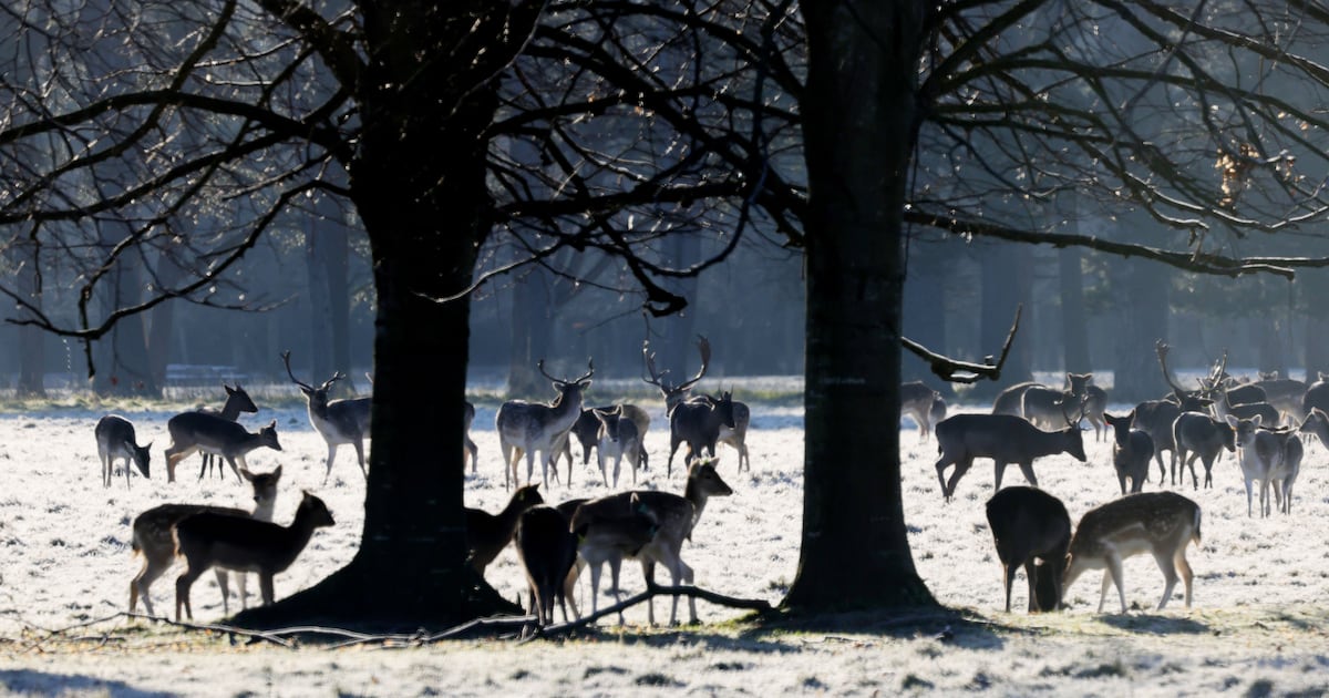
Schools will remain closed again in parts of the north and northwest after a further night of sub-zero temperatures gives way to another very cold day of wintry showers and icy conditions.
Met Éireann is forecasting that temperatures will be higher on Tuesday than in recent days but the arrival of rain across much of the country, turning to sleet at times, will make conditions difficult in places.
Schools across Northern Ireland and much of Donegal are to remain closed for a second day as the region remains icebound with some fresh snow falls making travel difficult.
The freezing temperatures have also left snow lying in parts of Munster although a thaw is expected later on Tuesday, with highs of seven or eight degrees expected by afternoon.
[ School closures in parts of Ireland on Monday Opens in new window ]
Eastern areas will be notably colder, remaining at two to four degrees at best.
Tuesday night will be cold again, with temperatures again falling below zero in many places and reaching no higher than three degrees.
Icy patches will again affect untreated surfaces and freezing fog will limit visibility in places.
The rest of the week will be mixed, staying cold to start, particularly in eastern counties, but with temperatures gradually returning to more normal levels for the time of year.
The southwest will be the mildest but rain will be heaviest there.
[ Climate change impacts see 2025 become Ireland’s second-warmest yearOpens in new window ]
Winds will pick up during the week, mainly from the West and southwest but turning northwesterly later on and becoming blustery.
Rain, drizzle and sunny spells will all feature before more sustained spells of rain follow over the weekend.
Longer range forecasts show unsettled weather continuing into next week with most parts enjoying clear spells at times but also coming under bands of rain before drier conditions set in later in the week.
There are no signs at this stage of snowfalls or freezing conditions returning.