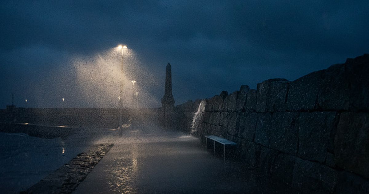
Travel disruption is forecast, particularly ferry and air travel, as some weather prediction models place the storm system closer to Ireland than previously thought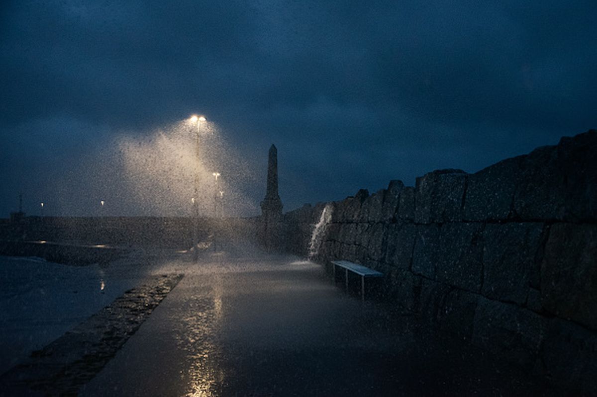 IRELAND – OCTOBER 14: Waves crash over Dún Laoghaire Pier during a storm squall on October 14, 2025 in Ireland. Storm Claudia brings a Status Orange rain warning to Dublin, Wexford and Wicklow, with heavy rainfall threatening flooding and hazardous travel conditions. (Photo by Natalia Campos/Getty Images)
Storm Goretti, named by the French Met Office Météo-France, has emerged as a significant weather system over northwest Europe.
While it is set to remain mostly clear of Ireland, neighbouring Wales, England and France are due for a dose of disruptive snow. Travel disruption is also forecast, particularly ferry and air travel to or from Ireland to the impacted areas on Thursday and Friday.
Cathal Nolan of Ireland’s Weather Channel warned that some weather models show that the storm may pass a tad closer to Ireland than originally predicted. However, impacts for Ireland look to be rather minimal.”
“Recent model runs have shifted the low pressure a little closer, with the most recent ICON model pushing the risk a little closer to Ireland. Right now I’m not overly concerned about the risks, I feel it will stay to the south. But, we need to keep an eye on the track of this low for further developments as it’s not settled fully yet,” he said in a new forecast post.
“Disruption is likely to flights and ferries to Wales, England and North France during Thursday night and Friday morning.” ICON is an open-source weather and climate modeling framework.
“Storm Goretti has officially been named by Météo-France, the French Meteorological Agency, and it is expected to bring what is being described as a multi-hazard event to Wales, England and Northern France as we g through Thursday and into Friday. However, some of the more recent weather models push the system a little bit closer to Ireland,” he said.
“We are wondering is it part of a developing trend? Perhaps bringing that risk of conditions a little bit closer to Ireland.
“Let’s look at the model scenarios and see exactly where Storm G is expected to go and what impacts it could have. The system itself is tracked to somewhere between St David’s Head here in Wales, and the north of France, so this is the range we have typically. However some of the more recent models… push it a little bit closer here to the south-coast of Ireland.
“That is interesting because the system itself is expected t develop into a significant area of low pressure, bringing with it the risk of heavy and disruptive snow on its northern side, across inland parts of Wales and across much of the Midlands of England, and through parts of East Anglia as well. However, what we are noticing is also a sway of very strong winds here, that is expected to push down through parts of northern France and the English Channel, gusting up to 170 or 180km/ph.
“A very intense area of low pressure indeed with damaging winds.” He added that the storm brings a chance of some hill snow to Munster and Leinster.
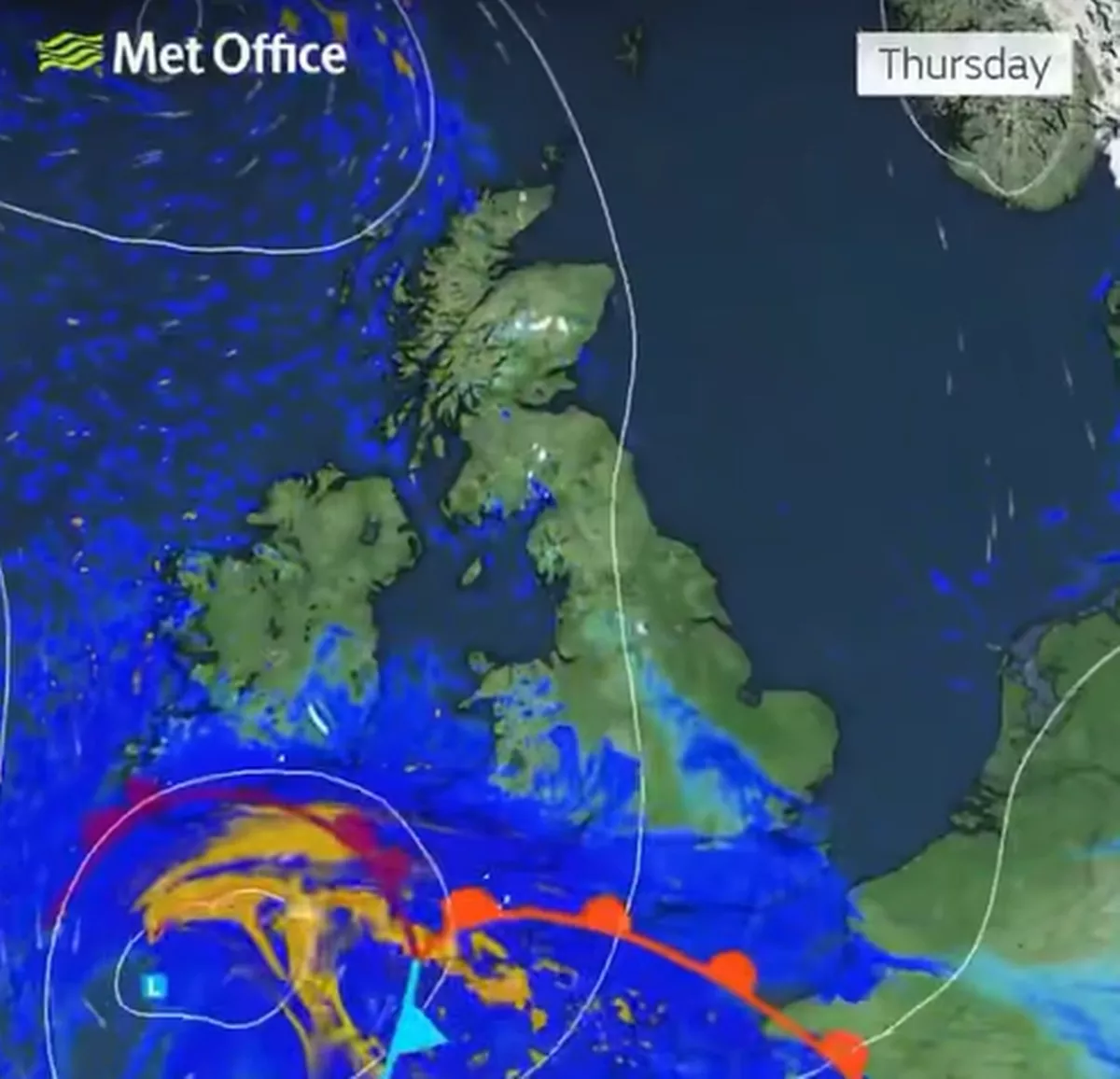
The ICON model shows the storm pushing a little more northward, with effects of the strong winds potentially being felt in Munster and Leinster, with a chance of “disruptive” hill snow. However, he added that he is “a little bit unconvinced” by this model.
Carlow Weather, headed up by Alan Reilly, added: “The French Met Service have named for the low system forecast to pass South of us Thursday #StormGoretti and it could bring heavy snow to parts of Wales and England for a time Thursday into Friday.”
Join our Dublin Live breaking news service on WhatsApp. Click this link to receive your daily dose of Dublin Live content.
We also treat our community members to special offers, promotions, and adverts from us and our partners. If you don’t like our community, you can check out any time you like. If you’re curious, you can read our Privacy Notice.
For all the latest news from Dublin and surrounding areas visit our homepage.