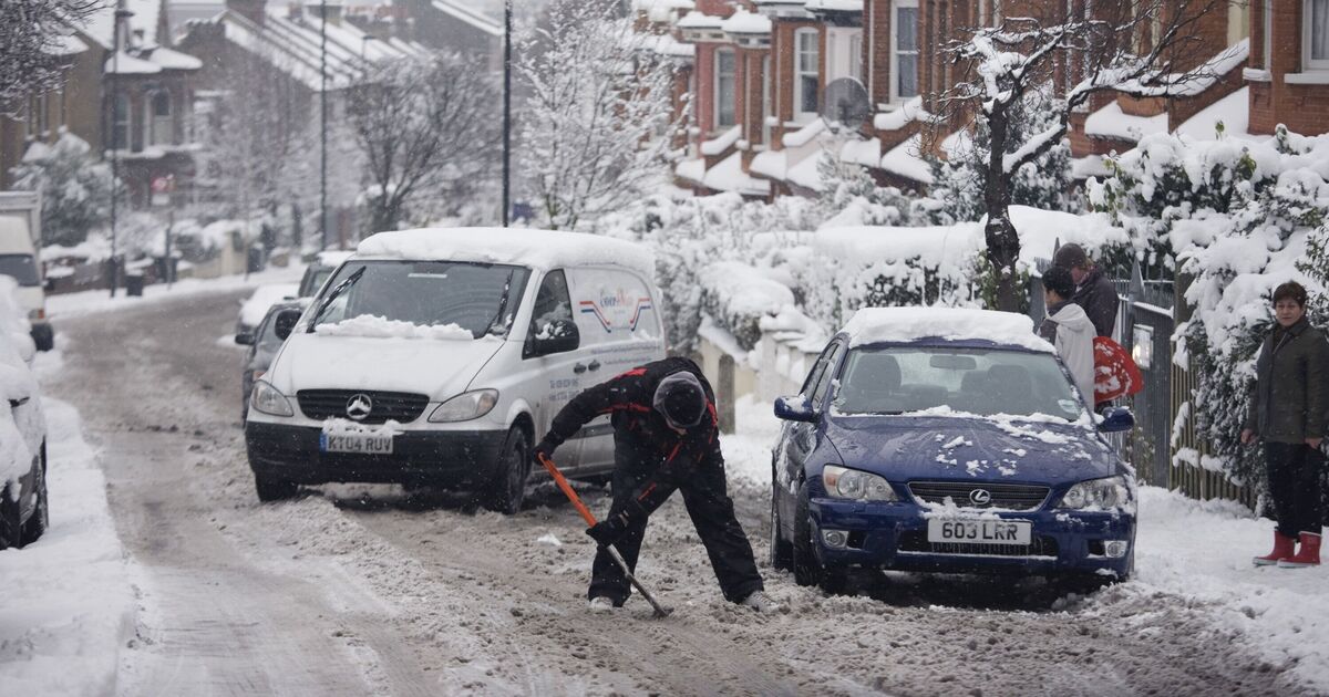
The Met Office has issued new yellow weather warnings spanning 14 hours as the UK freezes in bone-chilling temperatures. Snow and ice are likely to cause further disruption overnight tonight (January 7), through Thursday morning (January 8).
According to the warning, “ice will develop fairly widely with partially thawed lying snow refreezing readily” in Scotland and some parts of the north of England, with a warning in be in place from 10pm tonight until 12pm on Thursday.
The areas affected in Scotland will be Glasgow, Perth, Aberdeen, Edinburgh, and some parts of the north of England, including Carlisle and Newcastle, could also be hit by heavy snowfalls.
The north of Scotland, including Inverness and Ullapool, are also likely to be blanketed, and a warning for ice and snow will remain in place until 11.59pm today (January 7). Snow is also expected at low levels initially, away from the coasts, before becoming confined to the ground above 300 metres. The West of Scotland and the North of England are the areas more likely to see 1-2cm of fresh snow with 2-5cm of accumulation on ground above 200-300 metres.
The Met Office added: “In addition, wintry showers across Orkney and North-east Scotland will slowly clear away to the East, whilst a new band of mainly light rain, sleet and snow will arrive from the West.”
Heavy snow in the first part of the week led to hundreds of schools being closed across northern Scotland on Tuesday, and while many were set to reopen on Wednesday, disruption continues in many areas.
Storm Goretti may also bring a spell of very strong winds from Thursday (January 8), and the Met Office has issued an Amber warning for the south-west of England.
Their latest forecast added: “Storm Goretti may bring a short period of exceptionally strong northwesterly winds to the Isles of Scilly and parts of Cornwall on Thursday evening, with peak gusts potentially of 80-90 mph in exposed areas. This will depend on the exact track of Storm Goretti, and should the low pressure system track further south then the risk of these very strong winds would reduce.”