Storm Ingrid is set to bring wet and windy conditions to Ireland over the next 48 hours, with strongest winds in the southeast and east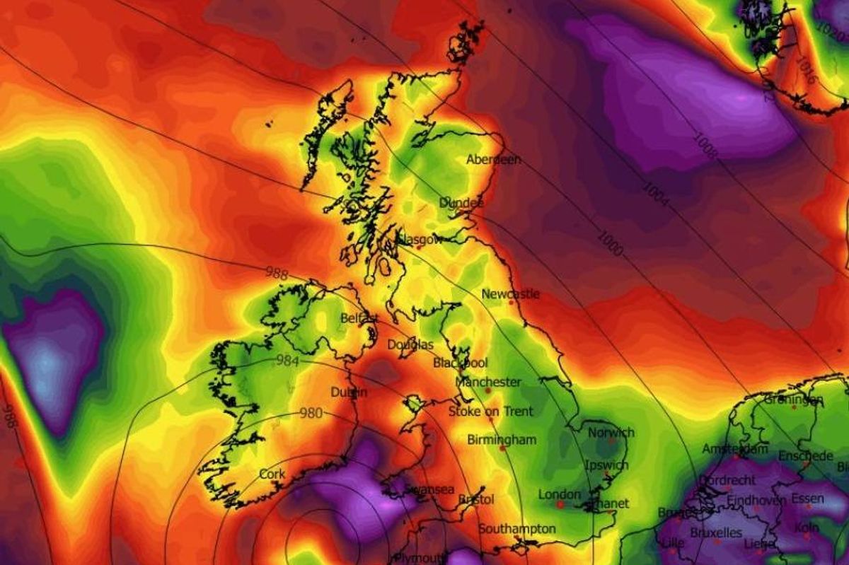
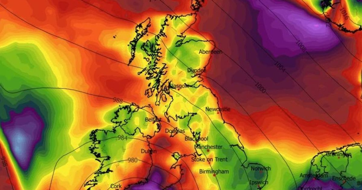
The remnants of Storm Ingrid are expected to hit Ireland in the next 48 hours.(Image: WXCharts.com )
Storm Ingrid is poised to affect Ireland within the next 48 hours.
The storm received its name from the Portuguese Met Service (IPMA) and is expected to reach Ireland during the weekend. An Irish weather expert noted that although the storm will have considerably diminished by the time it reaches Ireland, it will nonetheless deliver powerful winds and potential flooding, reports the Irish Mirror.
“For those asking about #StormIngrid which is impacting France today, thankfully the storm will weaken as it moves up towards Ireland over next 36 hours but it will bring us a wet and windy Saturday with strongest winds into Southeast and East. Plenty more rain too sadly with risk of flooding increasing,” posted Carlow Weather’s Alan O’Reilly on X.
Supporting Carlow Weather’s assessment was Meteorologist Cathal Noonan of Ireland’s Weather Channel on Facebook. Cathal suggests Storm Ingrid may deliver gale force winds along the Irish coastline and even mentioned the prospect of snow arriving next week.
“It is expected over the next couple of days we will further outbreaks of rain, some gusty winds at times in the south and southeast – that’s in relation to Storm Ingrid,” said Cathal. “Named by the Portuguese Meteorological Society, it’s not expected to land any significant blows across Ireland other than bringing further spells of heavy rain, which of course you could say is significant given the rain we have seen over the last couple of days and we are likely to see next week but the remnants of Storm Ingrid will be most felt across the south and southeast of the country.”
He added: “Heavy rain here and the possibility of some gale force winds tomorrow (Friday) along coastal areas. Saturday itself is another mixed day. That low pressure weakens and sits across the middle of the country and brings with it plenty of heavy showers or showery outbreaks of rain.
“On Sunday, the signal is for pretty mixed weather – we see areas of low pressure moving in from the west once again through the start and the middle of next week with the possibility of some wintry hazards on the northern flanks of these systems depending on how north or south the jet stream sits itself and where those areas of low pressure track exactly.”
He continued: “It looks like some parts of Ulster could see a little bit of snow, maybe into Monday night Tuesday, that’s one to keep an eye on but for the majority of people it is going to be cold rain unfortunately but a lot can change at his short notice. Cold air is pretty close by it wouldn’t take a lot for those wintry hazards to become more widespread but it’s not something I am overly concerned about at the moment.”
Met Éireann National Outlook
Overview: Low pressure persists in control, delivering periods of damp and frequently windy conditions with only occasional bright intervals.
Saturday Night: Predominantly overcast with spells of rain and drizzle. Minimum temperatures ranging from 3 to 6 degrees, accompanied by moderate to fresh easterly winds, occasionally strong, shifting to cyclonic variable overnight.
Sunday: Beginning generally grey with widespread spells of rain and drizzle. These showers will diminish in frequency and coverage throughout the day, allowing some sunshine to break through in places. Maximum temperatures between 5 and 9 degrees, with moderate to fresh cyclonic variable winds turning mainly easterly and weakening.
Sunday night: The evening will remain largely dry except for occasional light rain or drizzle. Though clear periods will occur initially, clouds will start gathering from the southwest during the latter half of the night, with more sustained rainfall moving into southwestern areas by dawn. Minimum temperatures from 2 to 6 degrees, with light to moderate east to southeast breezes.
Monday: Overcast, blustery, and damp with rainfall, occasionally heavy, advancing northeastwards nationwide. Maximum temperatures between 5 and 9 degrees, with moderate to fresh southeasterly winds, intensifying along eastern and southeastern shores.
Tuesday: Some uncertainty remains regarding specifics, but current forecasts suggest cloudier and wetter conditions towards the east, whilst western areas should stay drier with the finest bright spells. Maximum temperatures from 4 to 8 d egrees, with gentle to moderate northwesterly or variable winds.
Further outlook: Low pressure continuing to dominate, bringing further unsettled and mixed conditions.
Join our Dublin Live breaking news service on WhatsApp. Click this link to receive your daily dose of Dublin Live content. We also treat our community members to special offers, promotions, and adverts from us and our partners. If you don’t like our community, you can check out any time you like. If you’re curious, you can read our Privacy Notice.
For all the latest news from Dublin and surrounding areas visit our homepage.