Storms Kristin and Joseph have caused destruction in Portugal and the Costa del Sol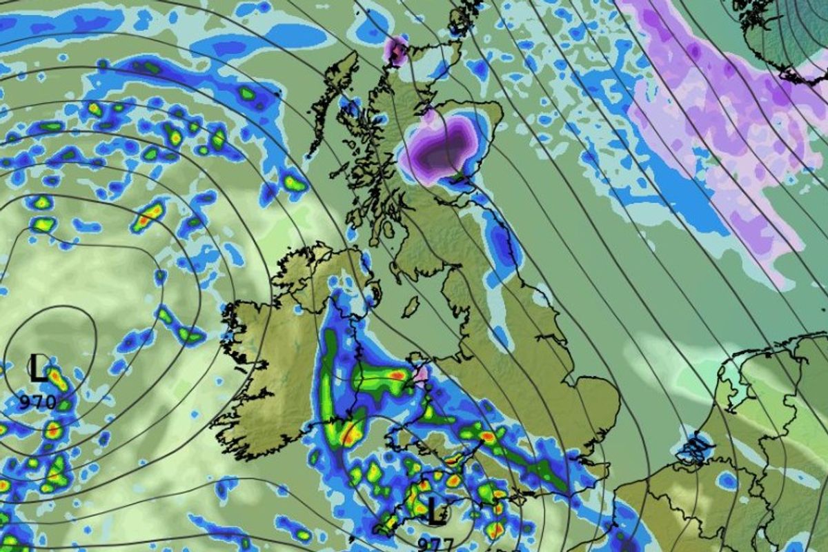
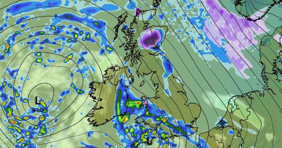
More Low systems moving across Ireland over the weekend, bringing plenty of rain(Image: WXCHARTS)
The very stormy start to the year for Ireland and much of Europe is continuing with two named storms hitting Spain and Portugal, as here at home, we are braced for more heavy showers and flooding.
On the Costa Del Sol yesterday during Storm Joseph, a woman was killed by a falling palm tree amid torrential rainfall and storm force winds, further weather alerts are in force today for regions of Spain and Portugal as they have a terrible start to 2026.
In Dublin this morning, a number of communities in areas like the Dodder River valley are involved in a clean up after severe flooding hit the capital yesterday during Storm Chandra. There was also severe flooding in parts of Wexford and Co Kilkenny.
In Munster, Met Eireann is this morning warning of more heavy rain and very unsettled weather to come. And with land already waterlogged and river and drainage systems struggling to cope with the huge volumnes of rain that have fallen, more flooding is likely.
The full forecast for Munster this morning looks like:
TODAY – Wednesday 28th January
Cloudy and damp this morning with showers becoming heavy and persistent for a time in the afternoon and evening. Due to saturated ground conditions localised flooding is possible. Southerly breezes and highs of 7 to 10 degrees.
TONIGHT
Showers will be heavy and prolonged before easing overnight. Southerly breezes will persist with lowest temperatures of 3 to 6 degrees.
TOMOROW – Thursday 29th January
Cloudy and damp with a few showers in the morning. Cloud will thicken later in the morning with strengthening winds ahead of bands of rain moving over from the south during the afternoon and evening. Highest temperatures of 7 to 10 degrees.
National Outlook
Overview: Rather unsettled to finish out the week but temperatures slightly above average.
Thursday Night: Overcast and wet with bands of rain spreading up from the south during the night. Blustery southeasterly winds too. Some clear and perhaps dry spells will develop overnight in the south with lowest temperatures of 1 to 4 degrees.
Friday: Staying unsettled with further showers and blustery winds along the western half of the country but a mix of sunshine and showers further east. Becoming overcast later in the afternoon however with highest temperatures of 4 to 8 degrees.
Friday Night: Cloudy overall with a few scattered showers.
A more persistent band of showers will move in across Munster and Leinster later in the night, possibly turning heavy at times too. Lowest temperatures of 0 to 4 degrees, possibly falling below freezing for a time across Ulster.
Saturday: Cloudy and damp with some patchy rain and drizzle over the northern half of the country. Dry elsewhere but remaining cloudy. A band of rain will move over from the southwest later in the day with fresh southwesterly winds following. Highest temperatures of 5 to 9 degrees.
Sunday: Current indications would suggest another cloudy and unsettled day with more persistent rain moving in from the south later in the day. Staying mild however.