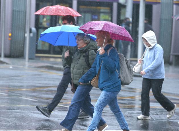
Stock image: Photo: Collins
Met Éireann has forecast plenty more rain as we head into the first week of September, but there could be some decent dry spells on the way.
The east of the country will enjoy some dry weather at first today, but this will give way to showers spreading from the west. Those showers will turn heavy at times.
More persistent rain during the day will be heaviest in the west and northwest and there will be a chance of some localised flooding. There will also be a chance of isolated thunderstorms today, particularly in western and northwestern areas.
Highest temperatures today will be between 14 and 18C, with winds reaching near gale force along some parts of the west coast.
Showers will continue to spread from the west tonight, turning to more prolonged or heavy spells of rain in the northwest. Eastern areas will turn dry overnight with lows of 11 to 14C.
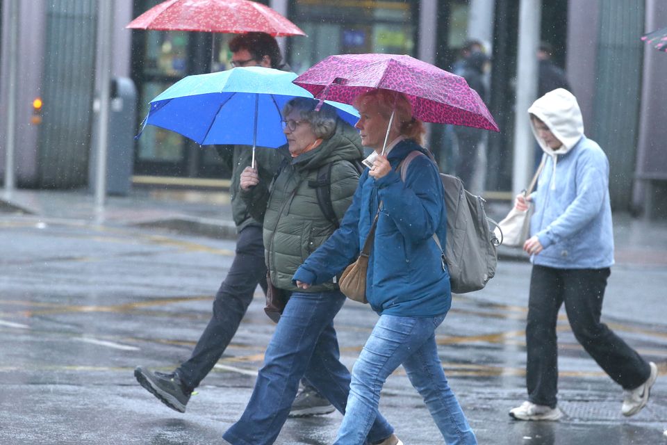
Stock image: Photo: Collins
7-Day Weather Forecast: August 25-31
The beginning of next week will mark meteorological autumn and the weather to come is a sure sign that summer is over. Monday will see “widespread showers”, though they will ease later in the day to leave some sunshine.
Highs on Monday will again range from 14 to 18C.
Tuesday will bring some relief as showers will not be quite as heavy as the days prior and there is a chance of “a fair deal of dry weather overall” according to Met Éireann.
There will be some heavy showers on Wednesday, but a cloudy start to the day is expected.
Met Éireann has said there is “a good deal of uncertainty” for the latter part of next week, but current signs show there will be “good dry spells” in the mix on Thursday and Friday to go along with some heavy showers.