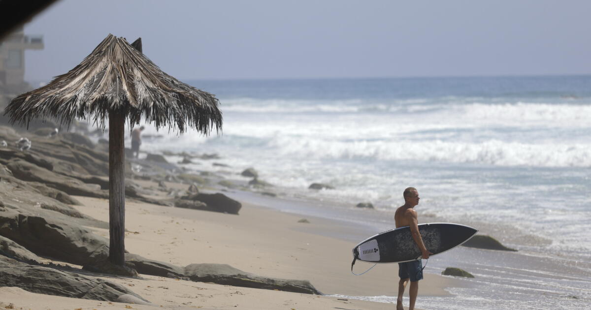
The exact path of future hurricane Marie remains unclear. But it could affect Labor Day weekend in Southern California.
Forecasters say Marie could send showers and increased humidity to the region, as well as large waves and dangerous rip currents for south-facing beaches.
Here’s a rundown of what we know and what we don’t.
1. Where Marie could hit
Direct landfall of a hurricane-strength Marie is out of the question for California, and there’s only a 10% chance of a direct tropical storm landfall, said UC climate scientist Daniel Swain. But “there is a real chance of genuinely heavy rainfall and thunderstorms that could potentially cause flooding,” Swain said, which he put at between 20% and 25%. There’s also a 20% to 25% chance of no rain at all.
There are a few projections that would put the remnants of Marie on a path toward Southern California, but most of the computer models suggest the more likely scenario involves the storm system veering to the west of the Baja California peninsula and into the open ocean.
“Marie is most likely to take a track to the northwest, moving away from land,” said Robbie Berg, warning coordination meteorologist for the National Hurricane Center. “There is still a slim chance the storm could move farther north,” which could put it on a path toward Southern California.
Marie was still a tropical storm as of 1 p.m. Wednesday, with maximum sustained winds near 70 mph, just shy of hurricane intensity, the National Hurricane Center said. Marie, which was about 1,300 miles southeast of San Diego on Tuesday night, is expected to become a hurricane Wednesday night. By Sunday, Marie is expected to be about 775 miles southwest of San Diego.
Marie is expected to start weakening during the weekend.

Marie is expected to move to the northwest.
(National Hurricane Center)
2. Some rain for SoCal is possible. But how much?
The National Weather Service office in Oxnard said there’s a low chance of moderate-to-heavy rain with flooding and thunderstorms, but that there is a moderate chance of light rain that could affect outdoor events, as well as impactful coastal flooding on south-facing shores. “Start making backup plans for wet events,” especially Sunday through Tuesday, the weather service said.
From Saturday into Tuesday, there’s a 50% to 60% chance of widespread light rain and a 10% to 20% chance of widespread moderate-to-heavy rain that could cause localized flooding and thunderstorms, said the weather service office in Oxnard, which issues forecasts for L.A., Ventura, Santa Barbara and San Luis Obispo counties. The most likely scenario is warm and humid conditions with light showers and a low chance of monsoonal thunderstorms over the mountains and deserts.
In San Diego, Orange, Riverside and San Bernardino counties, forecasters expect “widespread shower activity this weekend, currently with the highest chances on Sunday,” as mid-level tropical moisture arrives, the weather service office in San Diego said. Forecasters say they expect the showers that do fall to drop less than 1 inch of rain.
There will also be chances of rain during the Labor Day weekend for the San Joaquin Valley, the Mojave Desert and the Sierra Nevada, the weather service office in Hanford said.
Closer to the coast, it’s unlikely any significant rain from Marie will make it farther north than the Central Coast, the weather service office in Monterey said. But swells from the south could reach the Central Coast and Bay Area.
Forecasters say there is a high chance of large waves and strong rip currents over the holiday weekend. “If you plan to visit a beach, ensure lifeguards will be present,” the weather service said. There will be an increased risk for ocean drownings. At the moment, Sunday and Monday appear to be the days for the peak swell.

Future hurricane Marie, just south of the Baja California peninsula, could send strong waves and rip currents to Southern California for the Labor Day weekend.
(National Hurricane Center)
“Stay back from the water’s edge. Never turn your back to the ocean. Stay off rocks and jetties,” the weather service said.
3. Risk of coastal flooding
“Coastal flooding is also possible, but less certain at this time,” the weather service said, as large surf could combine with higher-than-normal tides from the Labor Day weekend into Tuesday.
Some areas most susceptible to high surf and super high tides include the Alamitos Peninsula area of Long Beach, Malibu, Point Mugu, Avalon on Catalina Island, and possibly parts of Santa Barbara.
4. Fire weather, too? It’s possible
There’s also a way Marie could move that would actually increase fire weather danger before the rain arrives. That could result in gusty offshore winds, wildfire risks and downed trees, according to Kristan Lund, meteorologist with the weather service office in Oxnard. There’s a 10% to 15% chance of moderate-to-strong winds from the east.
(A similar setup contributed to the fire weather conditions leading up to the deadly Maui fire in 2023.)
There’s actually high confidence of fire weather in the Santa Ana Mountains and San Bernardino Mountains, the Inland Empire, and the mountains of Riverside and San Diego counties, as well as the deserts, the weather service office in San Diego said.
5. Stay tuned
Forecasters warned that projections could change significantly if there is even a minor change in Marie’s direction.
“Given the uncertainty with this pattern, stay tuned,” the weather service office in Oxnard said.