Ireland’s settled weather is ending with Met Eireann warning that a savage 72 hour spell of rain, thundery bursts and cyclonic winds will hit within days.
08:27, 16 Oct 2025Updated 08:48, 16 Oct 2025
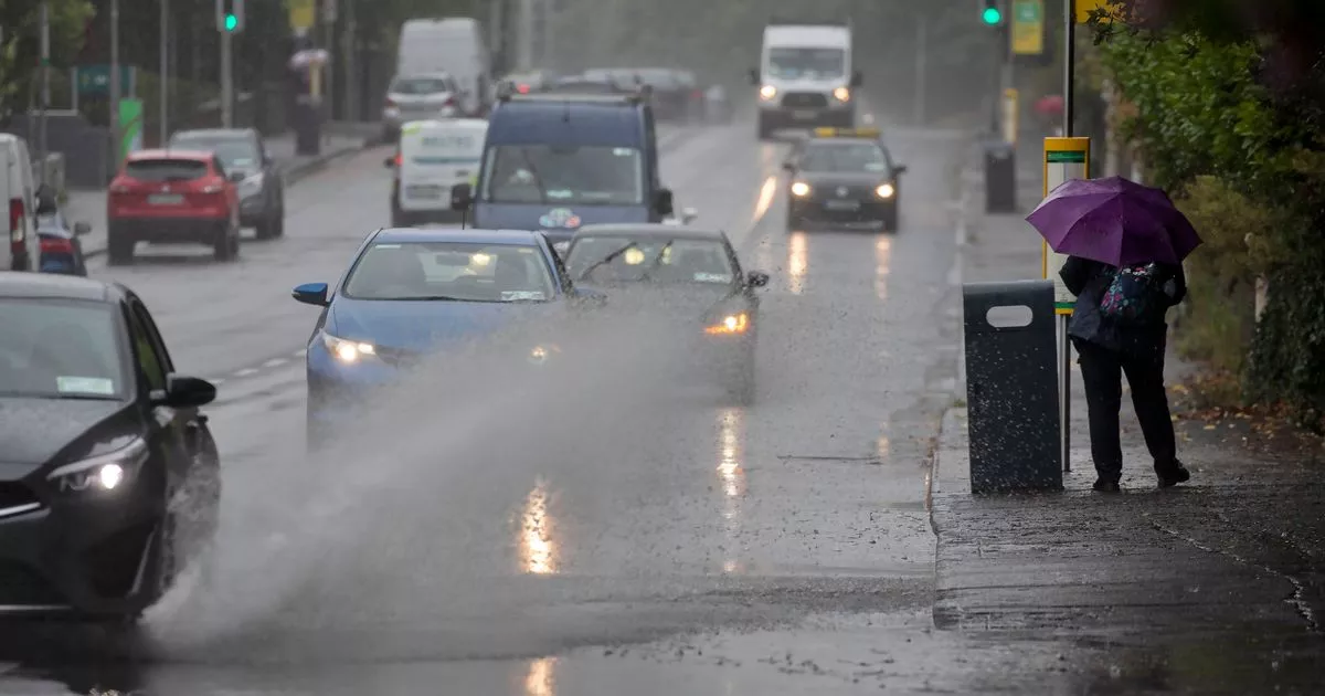
 14/07/2023 – A vehicle drives through a flood on Conyngham Road, Dublin(Image: Colin Keegan, Collins Agency, Dublin)
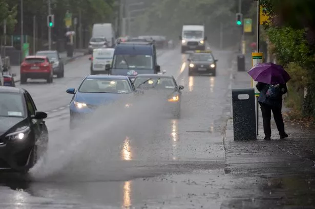
Ireland has been enjoying a rare spell of settled weather in recent days, with largely dry conditions and occasional sunny breaks offering a break from the usual autumn gloom.
But that calm is about to come to a dramatic end as Met Eireann has confirmed a total flip in the forecast – warning that torrential rain, thundery bursts and cyclonic winds will tear through Ireland this weekend.
The national forecaster explained that the change is driven by a shift in the pressure systems over the country, saying: “We’ll see a change to unsettled conditions for the weekend and next week as high pressure slips away eastwards and allows low pressure to take control.”
High pressure systems typically bring stable, dry and settled weather, while low pressure systems are linked with storms, heavy rain and gusty winds. As the high pressure drifts east, Ireland will be left exposed to the more savage low pressure conditions developing in the Atlantic.
In a new update, Met Eireann has warned that the unsettled conditions will take hold from Saturday, with the worsening weather expected to last for 72 hours, continuing into Monday. Over the weekend, Ireland can expect a major deterioration in conditions, with heavy rain spreading across much of the country, gusty cyclonic winds and thundery bursts that could lead to spot flooding in some areas.
Today and tomorrow will remain largely dry, however isolated patches of drizzle and mist could affect parts of the southwest and west, where winds will also freshen. By Friday night, heavier rain is expected to move in from the Atlantic, marking the start of the 72 hour period of chaotic weather.
Looking ahead to the weekend, the national forecaster said: “Saturday will be a cloudy, breezy day with rain in the southwest and west gradually spreading eastwards. The rain will be heaviest and most persistent in parts of the south and west, with some thundery falls and some spot flooding possible. It’ll stay mainly dry though in parts of the east and northeast until the afternoon or evening. Highest temperatures of 12C to 15C in fresh and gusty southeast winds, stronger at times in coastal parts.
“Saturday night will be wet and blustery, with some heavy falls of rain becoming fairly widespread, with some thundery bursts and some spot flooding likely. Lowest temperatures of 10C to 13C in fresh, occasionally strong, and gusty southeast winds. Towards morning, a clearance will start to move into southwestern and western parts, with the winds veering westerly there and tending to moderate.
“Starting off wet at first on Sunday in many areas, with some heavy rain for a time, especially in the east and northeast, with some thundery falls and spot flooding there. However, that clearance to brighter conditions in the west and southwest with some sunshine, will gradually extend eastwards to most parts through the morning, with the rain clearing from the east and northeast through the afternoon. Showers will be following though from the west through the morning and afternoon, becoming fairly widespread and some will be heavy, with a slight chance of thunder. Highest temperatures of 13C to 16C with the winds continuing to veer westerly as the persistent rain clears and will decrease light to moderate.
“Sunday night will bring some clear spells but with further showers, some heavy with isolated thunder and with the likelihood of some longer spells of rain in parts of the west and southwest. There’ll be some mist and fog in parts too. Lowest temperatures of 7C to 11C in mostly light to moderate southwest to west winds, though winds will be fresher at times, especially in parts of the south and southwest.
“Monday will bring further showers or longer spells of rain, some of that heavy, with the chance of isolated thunder. Highest temperatures of 12C to 15C with light to moderate cyclonic variable winds in the north and east, but breezier elsewhere moderate to fresh southwest to west winds.”
Met Eireann added that showers will continue on Tuesday, with the possibility of a longer spell of rain in northern areas, however there will also be some sunny intervals. Looking further ahead, the national forecaster said: “Low pressure will continue to dominate our weather for the rest of next week bringing further showers or longer spells of rain, but some drier brighter interludes too, with sunshine. It’ll be breezy at times and it looks like it may become a little cooler too.”
Subscribe to our newsletter for the latest news from the Irish Mirror direct to your inbox: Sign up here.