Stock image: Photo: Collins
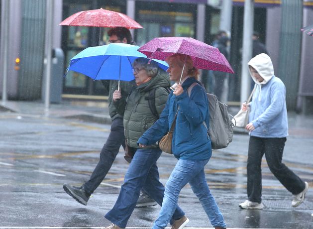
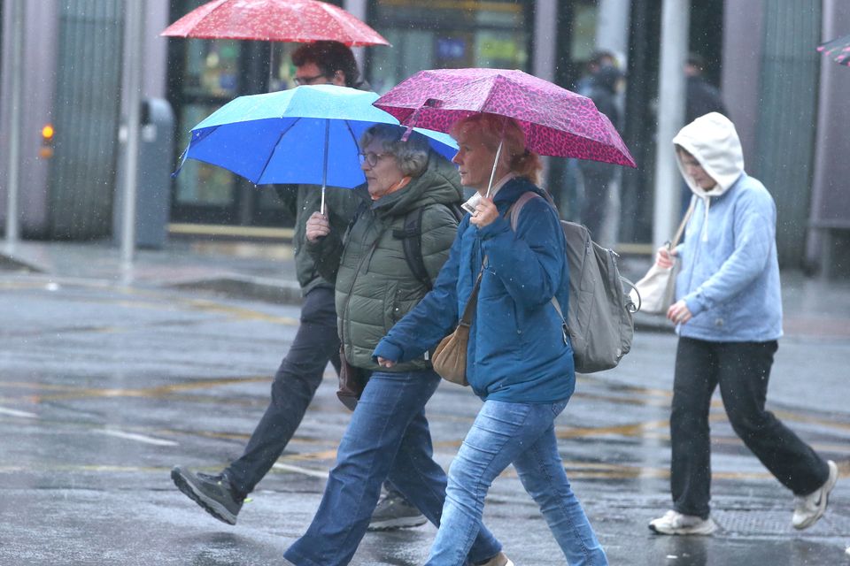
This weekend will be gloomy in the weather stakes owing to persistent rain sweeping across the country, though showers will be heaviest in three counties subject to rain warnings issued by Met Éireann.
An orange warning, valid from 9pm tonight until 5am tomorrow morning, will apply to Cork, while counties Kerry, Waterford and Wexford will be under a yellow warning from 5pm until 5am Sunday morning. This yellow warning also applies for Cork.
The national forecaster is warning of localised flooding and difficult travelling conditions in the affected areas as it predicts spells of heavy rain with possible thundery showers.
Met Éireann said that rain is going to increase from this weekend onwards, accompanied by a slight drop in temperatures into next week.
“It looks set to turn somewhat more unsettled during the week as low pressure becomes more dominant than in preceding weeks,” the forecaster stated.
Today will start off breezy as rain breaks out in the west, spreading northeastwards as the day goes on. The evening will see the rain turn heaviest in Cork, Kerry and Waterford as potentially thundery conditions arrive. Conditions in Cork will become notably worse as the orange rain alert kicks in during the night, bringing a risk of flooding.
Temperatures will be between 11C and 14C during the day, falling back to 10C to 13C in the night.
By tomorrow, rain will continue in the north and east at first before clearing northeastwards before afternoon with a risk of spot flooding. It will be windy again with temperatures from 13C to 17C. Sunday night will be a cooler 8C to 11C as rain pervades most of the country, heavier in spots.
Monday will see a mix of sun and rain, the latter becoming more consistent over the afternoon over Leinster. The sunniest spells will be experienced in western counties with highest daytime temperatures of 11C to 15C.
A band of rain will make landfall in the northwest early on Tuesday followed by some good sunny spells and highest temperatures of 11C to 15C before more persistent rainfall settles over Atlantic counties in the night, with temperatures dipping to 5C to 9C.
The forecaster’s extended range forecast explained what conditions will look like next week.
“It looks set to turn somewhat more unsettled during the week as low pressure becomes more dominant than in preceding weeks. Mean air temperatures are forecast to be near or perhaps slightly above the climatological average. Rainfall amounts are forecast to be slightly below normal.”