The warnings expire by noon today at the latest, and Met Éireann has not issued any further alerts
The national forecaster issued the warnings for five counties yesterday.
Carlow, Kilkenny and Wexford were issued with a yellow rain warning that extended from 8pm last night until 8am this morning, while Louth is subject to the alert from midnight last night to midday today.
Wicklow was also under the same warning from 11pm last night until 9am this morning. All warnings said residents of these counties were to expect localised flooding and possible “difficult” travelling conditions.
Separately, the UK Met Office issued a yellow rain warning for “heavy rain” over counties Antrim, Armagh and Down which is valid until noon today.
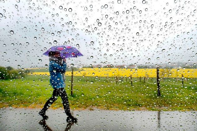
Today’s forecast brings outbreaks of heavy rain moving northeastwards in the morning, leaving slightly drier and brighter conditions in western parts before brighter spells extend nationally by early afternoon, Met Éireann says.
Thundery showers are possible over Munster, with highest overall temperatures of 13C to 17C. Tonight will dip to between 7C and 11C, coolest in Ulster with the heaviest rain over the southern half of the country.
For the coming week, conditions will be changeable as rainy spells pervade the daily forecasts across most counties.
Met Éireann said: “It looks set to turn somewhat more unsettled during the week as Low Pressure becomes more dominant than in preceding weeks. Mean air temperatures are forecast to be near or perhaps slightly above the climatological average.
“Rainfall amounts are forecast to be slightly below normal.”
Tomorrow will begin cloudy before scattered showers become longer spells of rain, particularly in the east. Highest daytime temperatures of 13C to 16C.
Tuesday will be mostly dry, but will begin with more scattered rain before sunny spells break through in the west. Highest temperatures of 11C to 15C, colder at night at 3C to 7C.
Wednesday is set to start off with hazy sunshine and some showers in the northwest as clouds build over the afternoon, resulting in heavier rainfall, particularly in the south.
Highest daytime temperatures of 11C to 14C with 5C to 9C expected at night.
Thursday is forecast to have the same amount of changeability in conditions, but Met Éireann so far is forecasting a “cool and windy” day with long spells of rain and temperatures falling somewhere between 9C and 12C.
“Rather cool and showery with temperatures trending a little below normal for the time of year in northerly or northwesterly winds, strong at times near coasts,” is how the forecaster describes next weekend.