Researchers in the south of Scotland have unveiled virtual farm technology they hope could help transform the dairy industry.
Farm-twin is free to download code which allows the creation of a model of an entire farm system – from individual animals to infrastructure – using real-time data sensors.
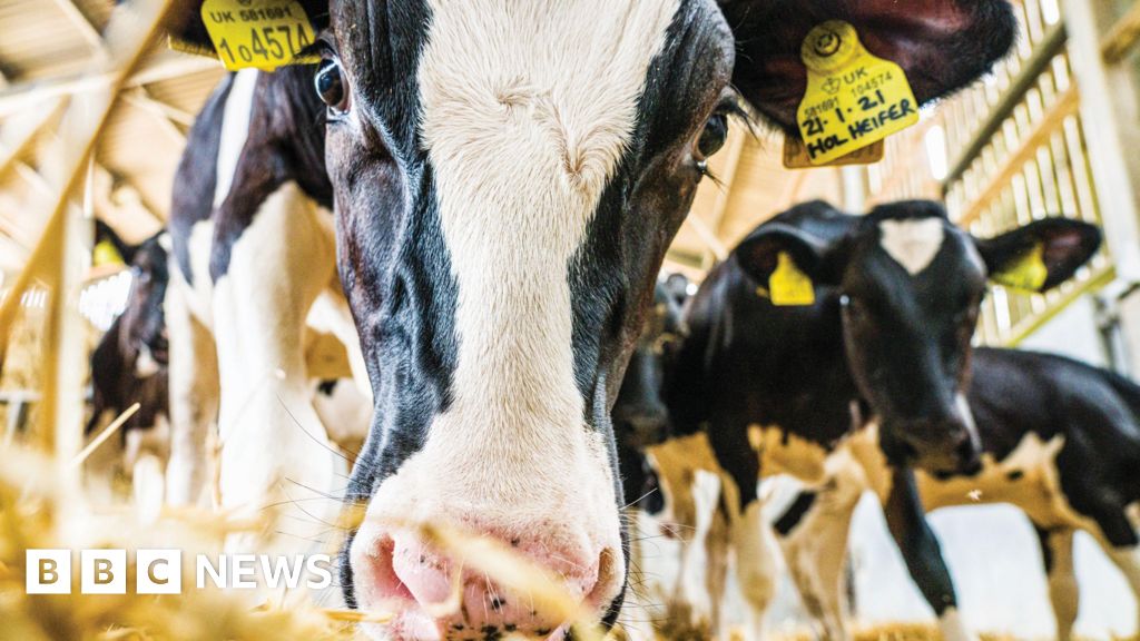
Developed at Scotland’s Rural College’s (SRUC) Dairy Research Centre at the Barony campus near Dumfries, it allows farmers an “at-a-glance view” of their entire operation.
That, in turn, could enable them to detect health issues or productivity drops before they escalate.
The project has been made possible through funding from the wider Digital Dairy Chain scheme.
It was set up to explore the use of Digital Twin technology – which creates a virtual, dynamic model of a physical object, system, or process, updated in real-time with data from sensors.
SRUC said the system could even automate some decision-making for farmers.
Data scientist at the innovation centre Dr Mazdak Salavati said: “The real power of farm data lies in combining different sources to uncover insights that a single system alone can’t provide and with farm-twin, we’re enabling exactly that.
“Farm-twin addresses this challenge head-on by aggregating data from a wide range of technologies into a single, unified platform.
“Pulling data in near real-time from various sources including animal health records, milk production, feed intake, and environmental conditions.”
Farm-twin is completely open source, meaning anyone can freely download, use, modify and distribute the code.
SRUC agri-tech scientist Dr Matt Broadbent said: “It ensures transparency, fosters innovation, and lowers the barriers for adoption across the industry.”
Chief executive Wayne Powell said the system could help create a “more productive, resilient, and sustainable future” for dairy farming.
Meanwhile, the farming industry could also be getting support from the skies thanks to satellite firm AAC Clyde Space in Glasgow.
It is creating a tool to help support wildlife on agricultural land.
Using their own constellation of satellites that frequently capture detailed images, the system will show farmers exactly what plants and animals are living on their land.
It is hoped that can help farmers make better decisions about sustainable farming and access government support schemes like the Sustainable Farming Incentive.