In the pantheon of American highways, Route 1 stands apart. Snaking some 2,300 miles from the cold Canadian border in Fort Kent, Maine to the bleached bright southern terminus in Key West, Florida, it has swallowed many smaller highways (the King’s Highway, the Overseas Highway) into its length, making one great Atlantic Highway out of many fragmented paths. These numerous arteries were officially merged into one by the Joint Board of Interstate Highways in the 1920s, and since then, Route 1 has maintained the illusion of continuity, its pavement river flowing from north to south and back again, seamlessly connecting the cities and towns of the eastern seaboard.
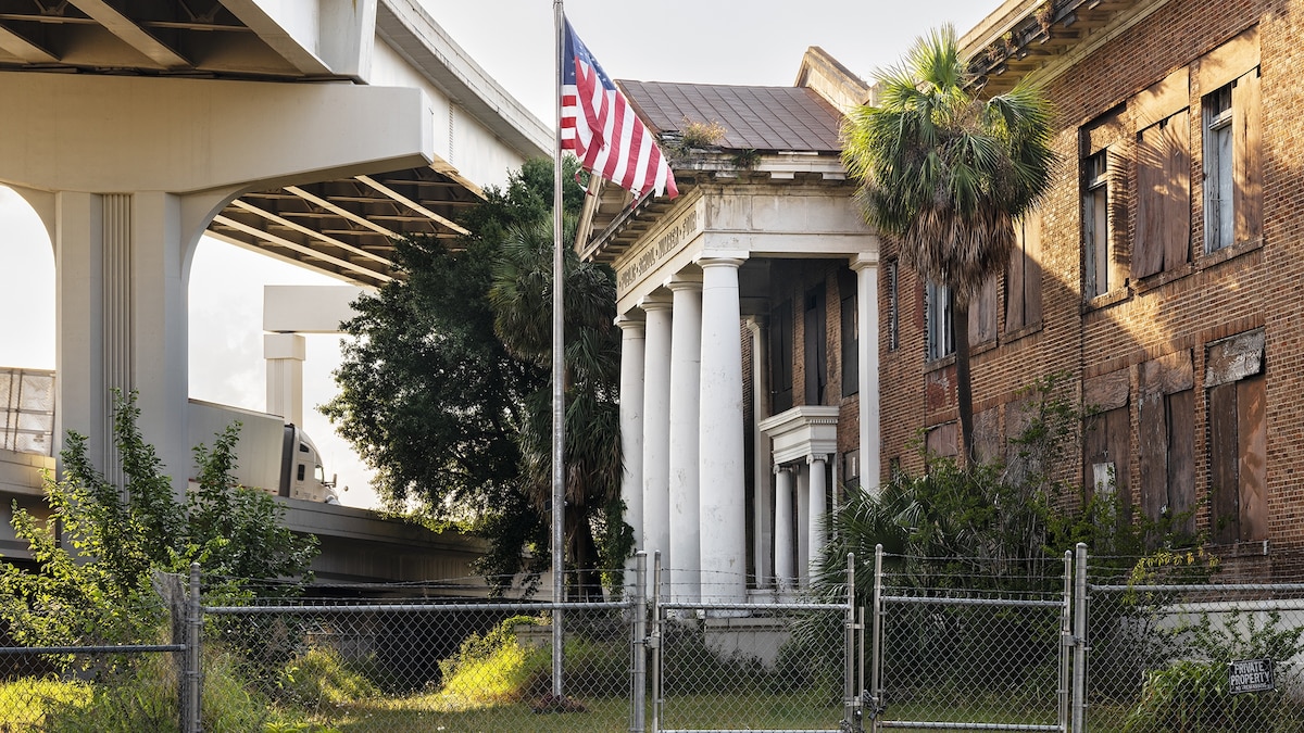
Yet anyone who has driven Route 1 knows the truth: it is not a single, static body of asphalt. It shifts with the light, with the day, with the seasons, with the pitstops. They say you can’t step in the same river twice—you also never drive the same road twice. It is worn down and built up, blasted apart and glued back together. And unlike Route 66, this highway doesn’t have a suite of agreed-upon neon-tinged iconography. Every exit brings its own set of associations, from the shattered-glass mill towns of Massachusetts to the sherbert-painted clapboard siding of South Carolina. “Each place along it has its own rhythm, its own wounds and hopes,” says photographer Anastasia Samoylova, whose most recent body of work, Atlantic Coast, documents life along the roadside. “By the end, Route 1 felt less like a highway and more like a portrait of endurance: of how people and places hold on, adapt, and sometimes just quietly fade.”
(Revealing America’s brutal new firestorms)