Strong risk of hail, thunder and flooding
07:47, 07 Dec 2025Updated 07:51, 07 Dec 2025
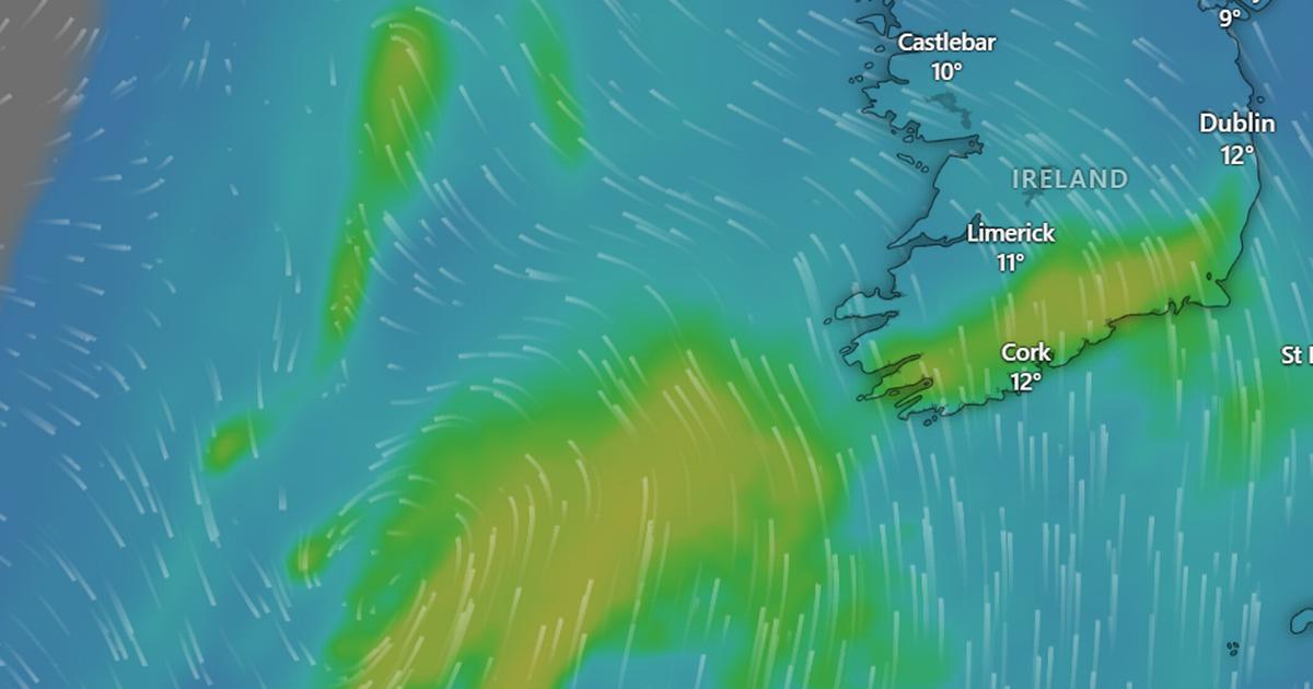
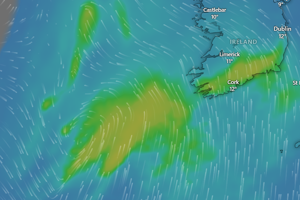 Low pressure system set to strike(Image: Windy.com)
We’re set to be hit by a low pressure system in the coming days – with a growing risk that we might get our second named storm of the season.
Today will be a mild and drizzly close to the weekend, with rain clearing by the afternoon and temperatures hovering between 9 and 11 degrees. But it’s tomorrow that things are due to change, with possible thunderstorms and hail rolling in overnight before the low pressure system – which could earn the name Storm Bram – hits us from the Atlantic.
Monday will start off bright with just a few scattered showers over Cork, but cloud will begin to increase in the afternoon before “heavy falls of rain and possible spot flooding” are expected at night. The national forecaster warns that we’re due “very windy with possibly stormy conditions developing in parts of the west and northwest” overnight from Monday into Tuesday, while the latest updates from expert Alan O’Reilly – behind the popular X account Carlow Weather – say we can expect risks of localised flooding.
Met Éireann adds that there is “some uncertainty” about the pressure system set to strike late on Monday, but all indications are for a wet, windy, stormy night. After that, Tuesday will bring “brighter showery conditions” with highs of 15 degrees. You can read the full forecast below:
TODAY – Sunday 7th December
Mostly cloudy today with outbreaks of rain and drizzle. The rain will clear to the east by afternoon with clearer breaks and a few showers affecting Atlantic coastal counties. Highest temperatures of 9 to 11 degrees with light to moderate westerly winds backing southerly.
TONIGHT
Tonight will bring some clear spells, but showers will spread from the west, and some will be heavy with the chance of hail and isolated thunderstorms. Lowest temperatures of 5 to 8 degrees in mostly moderate southerly winds, increasing fresh at times, and stronger near coasts.
TOMORROW – Monday 8th December
Tomorrow will be bright with sunny spells and well-scattered showers, some heavy. Cloud will increase from the southwest through the afternoon and evening with some rain developing later in the evening. Highest afternoon temperatures of 10 to 12 degrees with moderate to fresh southerly winds, easing a bit later.
National Outlook
Overview: There is some uncertainty in the track of a deepening area of low pressure, which is expected to move up from the south Atlantic close to Ireland, on Monday night into Tuesday. Current indication suggest that it will become very windy with possibly stormy conditions developing in parts of the west and northwest.
It will become wet on Monday night too, with some heavy falls of rain and spot flooding possible, particularly in southern parts. The rain giving way to brighter showery conditions on Tuesday. However, it will be mild with lowest temperatures of 7 to 11 degrees on Monday night, rising to 13 to 15 degrees on Tuesday.
Following this Wednesday looks like it’ll be a breezy day with sunshine and scattered showers, some heavy and prolonged, with a chance of hail and thunder, mainly in the west and north. Highest temperatures of 8 to 11 degrees in fresh to strong and gusty southwest winds, easing in the afternoon as the showers fade away.
Further Outlook: Continuing unsettled with further rain and showers likely and the risk of strong winds at times. However there will be dry bright periods to with some sunshine.