Another wintry change before the end of January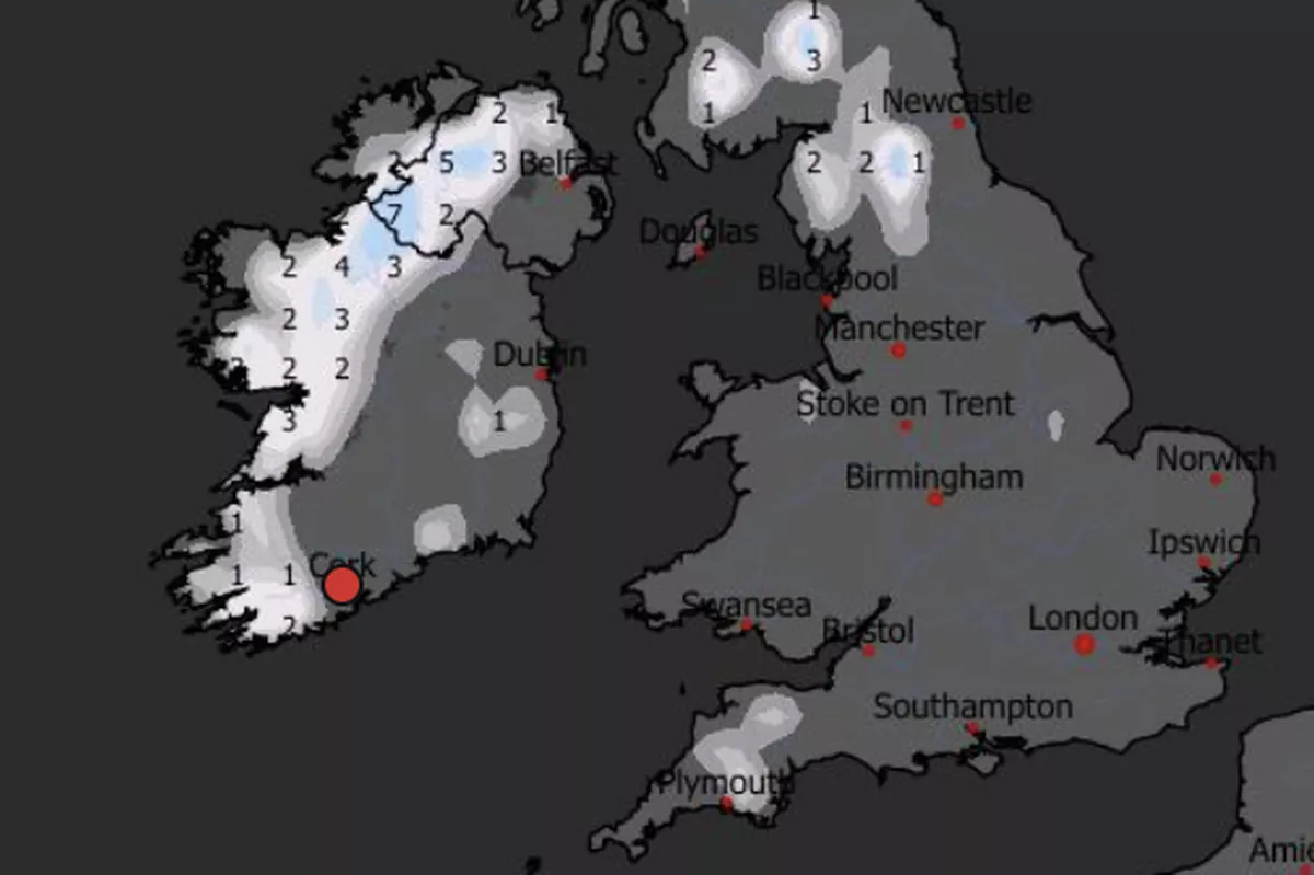
Snow possible before the end of the month(Image: WXCharts)
Forecasters are keeping a keen eye on a potentially wintery bout of weather expected to hit Ireland before the end of January. Another cold snap is forecast within weeks, with weather maps showing potential for snow to fall as temperatures plunge below freezing.
The freezing cold snap that welcomed into the new year with icy roads, frosty mornings and even snow across parts of the country has subsided and temperatures have returned to more tolerable conditions. But another chilly change is forecast for the last week of January as a very cold weather front moves in.

Snow in Millstreet on January 4(Image: Olga Firek)
According to Met Éireann’s monthly forecast update, which was updated yesterday, “a cool or cold easterly airflow is likely to dominate” between Monday 26 January and Sunday 1 February, “bringing below average temperatures across the country.” The weather experts add: “Given the time of year and below average temperatures, there is the possibility of wintry precipitation at times.”
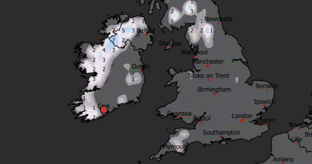
Meanwhile weather mapping service WXCharts latest radars for that week show the potential for centimetres of snow or sleet to fall across the western half of Ireland, including parts of Cork, Limerick, Clare, Galway, Mayo, Sligo and Donegal on Wednesday January 28.
Alan O’Reilly of Carlow Weather has suggested that there is “very little (to) support” any fears of a major, country-covering snow event as long-range forecasting is notoriously subject to change and difficult to predict, Dublin Live reports. He said: “Few messages asking about chances of a beast from the East, the GFS model in the long range has certainly thrown out some interesting charts but before anyone gets excited or worried the ensembles show it has very little support so chances remain low and ECM model very different!”
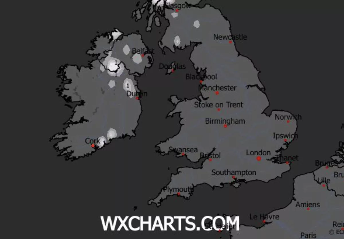
Snow predictions for Saturday morning (Jan 17)(Image: WXCharts)
Before then, the same weather charting service shows some slight indication of potential wintry precipitation on the morning of Saturday 17 this weekend for parts of East Cork. However according to Met Éireann’s long-range outlook, it is less likely, as the forecast suggests it “will be dry for many with isolated showers or light rain and drizzle mainly affecting southern and eastern coastal areas” with highest temperatures of 5 to 9 degrees with a light easterly or variable breeze.
Meanwhile next week, “temperatures will likely be around normal overall but could fluctuate through the week. Wet and windy conditions are possible depending on the track of the low pressure systems.”
And this week, expect showers of hail and thunder to lash across Atlantic coastal counties and low pressure continue to dominate, bringing mixed conditions.