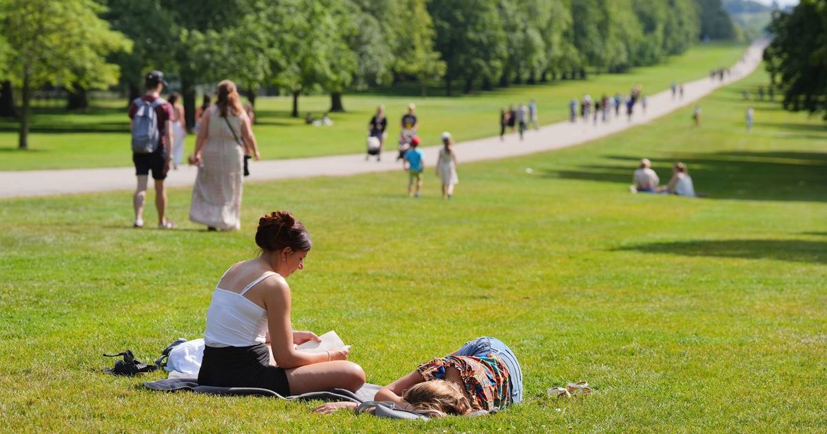
The jet stream is expected to ‘buckle’ at the end of May, causing a change in weather patterns, and long-range forecasts suggest a potential June heatwave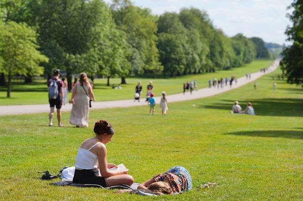 (Image: PA)
Brits may be in for a sizzling spell as forecasts indicate the jet stream could “buckle” leading to some hot weather. Netweather’s latest forecast points towards a “sunnier” start to June, following hints of the jet stream beginning to buckle by May 30.
“There are hints that the jet stream could begin to buckle by May 30 and the Azores high build towards [southwest] England,” forecaster Jo Farrow said. “This would interrupt the westerly unsettled flow and could herald a drier, sunnier weekend for the start of June.”
The jet stream has a significant effect on the weather in England, Wales, Scotland, and Northern Ireland by affecting the trajectory and potency of weather systems, which ultimately determines whether we have calm warm weather or unsettled, rainier conditions, reports the Mirror.
The Met Office explains: “Sometimes, like in a fast-moving river, the jet stream’s movement is very straight and smooth. However, its movement can buckle and loop, like a river’s meander. This will slow things up, making areas of low pressure move less predictably.”
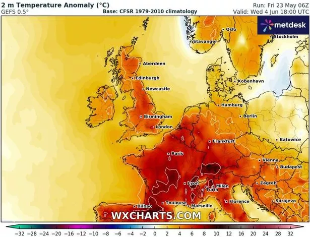 (Image: WXCharts)
Unfortunately, the anticipation of a warm Bank Holiday weekend has fallen short. Jo Farrow elaborated: “This Bank holiday weekend does look mixed with bands of rain, particularly at night, along with scattered showers.”
Warmer temperatures may start to climb the following weekend, however. Temperature anomaly maps suggest that by June 4, we might see much higher temperatures than average for this time of year.
From May 28 to June 6, the Met Office has forecasted a “changeable” weather front, predicting that “further frontal systems running east into the UK bringing further spells of rain” along with “showery interludes”. It also indicated the potential for strong winds, especially in the northwest.
Talking about a regional weather divide, the Met Office noted: “With time the signs are that systems will increasingly track to the northwest of the country, with the south starting to see longer, drier interludes while the northwest continues to see more in the way of rain and at times strong winds, temperatures are expected to be slightly above average overall, but will be cooler in any prolonged periods of rainfall.”
It also mentioned the possibility of higher temperatures, stating: “Meanwhile there is the possibility of some very warm, perhaps hot conditions developing, especially in the south and these bring with them the chance of thunderstorms.”
For the period stretching from June 7 until June 21, the Met Office’s long-range forecast suggests “changeable weather across the UK” with a combination of “mixture of Atlantic weather systems moving in from the west interspersed with dry and sunny periods”. According to the forecast, this means that the northwest is likely to experience wetter conditions, while the south and southeast should enjoy dryer spells.
In addition, the forecast included: “Temperatures are most likely to be near normal or slightly above in the north and west, perhaps with some hot spells at times, especially across the south.”