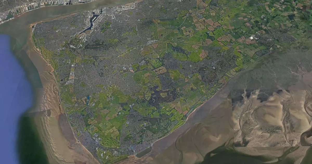
Changes could be coming to your area which could affect who you can vote for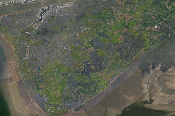 The Wirral peninsula from above(Image: Copyright Unknown)
Wirral’s political map could be redrawn as a review takes place of every area of the borough. This is being done ahead of voters going to the polls in 2027.
The Local Government Boundary Commission for England is currently reviewing boundaries in two parts of Merseyside in Wirral and Sefton. This review is to look at whether Wirral still needs 66 councillors, 22 council wards as well as the name for each ward.
At the moment, the Boundary Commission feels 66 councillors are still needed but is planning to make a number of changes to different areas of the borough to reflect changing populations and new housing developments. People have up until June 9 to comment on the plans.
Wirral’s political parties have put forward suggestions about what should happen in each area, some of them more significant than others. However the Boundary Commission doesn’t think any major changes should take place in most areas including rejecting for now a Green Party proposal to reduce the number of councillors to 65.
The commission have adopted Labour proposals for Birkenhead and Tranmere, Prenton, and Rock Ferry as well as change Oxton’s boundaries slightly following a proposal put forward by the Liberal Democrats. Conservative proposals to change names of two areas are expected to be adopted with Claughton ward becoming Claughton and Noctorum while Upton will become Upton and Woodchurch.
In central Wirral, this will see three councillors for each of the five wards. Bidston and St James, Birkenhead and Tranmere, and Upton and Woodchurch will see their populations increase by 3%, 4%, and 7%. Claughton and Noctorum and Oxton will see their populations go down by 3% and 2%.
In north Wirral, no changes are being made to the boundaries in six areas covering Wallasey, Moreton, and Leasowe with the Boundary Commission taking into account the Wirral Waters development. A Conservative proposal to rename Liscard to include Egremont in the ward name too has been adopted.
In south Wirral, big developments along the waterfront in Bromborough would mean that the population would be 24% bigger by 2030. To address this change, the Boundary commission decided to combined proposals put forward by Labour and the Conservatives.
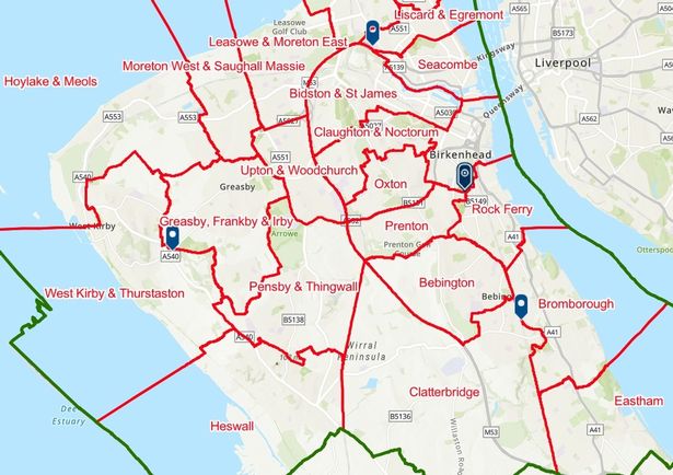 The proposed ward boundaries for Wirral.(Image: The Local Government Boundary Commission for England)
The area around Well Lane and Downham Road will join Prenton ward while the area around Prenton High School will also join to make sure the whole of the school is included. The Boundary Commission also believes Clatterbridge ward should be extended to the Dibbinsdale brook while Green Party and Liberal Democrat party recommendations weren’t accepted.
In West Wirral, the Green Party suggested Hoylake and Meols only have two councillors going forward but this would have led to a significant change in the voting population’s representation. The party also put forward two councillors for a Greasby and Frankby ward with Irby joining another area.
However the Boundary Commission argued the four wards in west Wirral, Greasby, Frankby, and Irby, Heswall, Hoylake and Meols should stay largely as they are. West Kirby is set to be continued to be divided politically.
The government body accepted “that West Kirby has a sense of community identity and that this might be reflected in the establishment of a ward that would contain the whole town.” However they were not persuaded by proposals put forward to have the town become one ward as there wasn’t enough evidence to back it up and doing this would negatively impact other areas.
Information about the review and how to comment on the plans can be found here.