There will be increased winds and showery spells throughout the week
Maxine Denton Reporter and Andrew Nuttall
17:38, 01 Jun 2025Updated 17:39, 01 Jun 2025
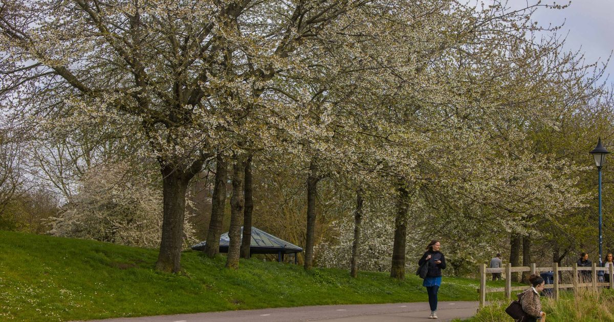
 File photo: The weather in Bristol is likely to be a mixture of sunshine and rain this week(Image: PAUL GILLIS / Reach PLC)
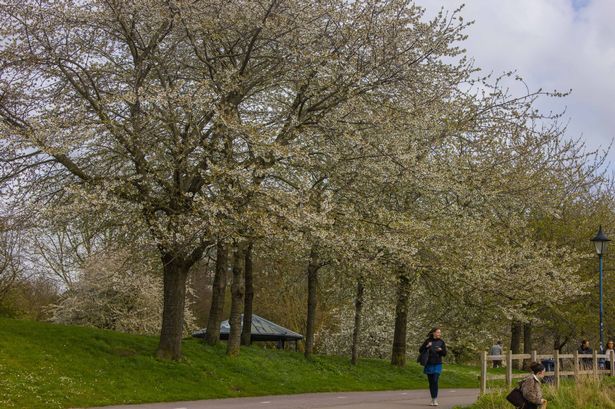
Bristol is set to face spells of rain this week ahead of a “hotter than average” summer, according to the Met Office.
While temperatures are predicted to remain fairly high during the first week of June, there will be increased winds and showery spells.
According to the Met Office forecast for the south west tonight, there will be mostly light winds with temperatures dropping into mid single values in some rural spots.
While the day will be largely fine with sunny spells and a maximum temperature of 20 °C on Monday (June 2), the forecast predicts there will be the odd isolated shower during the morning.
Meanwhile, the outlook for Tuesday to Thursday currently says the early heavy rain will clear on Tuesday (June 3), with sunshine and a few blustery showers to follow. It will also be drier on Wednesday with sunny spells before longer spells of rain return on Thursday.
The long-range forecast says the changeable conditions are expected to continue, with all areas seeing showers or longer spells of rain at times as Atlantic systems move across the country which also bring the potential for strong winds.
It comes ahead of a “hotter than average” summer prediction from the weather forecasters.
The Met Office predicts that the UK is twice as likely to experience a hot summer this year, The Mirror reports.
Experts also warn that there could be an increased risk of heatwaves this season.
This forecast follows the country’s sunniest spring on record, with around 630 hours of sunshine recorded across the nation between March 1 and May 27, marking it as ‘the driest spring for over a century’.
On Saturday, May 31, temperatures surged to 8C above the average for this time of year, hinting at a potentially scorching summer season.
The Met Office’s three-month outlook suggests that the likelihood of a hot summer is higher than usual, bringing an increased risk of heatwaves and heat-related impacts.
The forecast indicates that it is 2.3 times more likely than normal for the UK to experience a hot meteorological summer, which starts today (June 1) and ends on August 31.