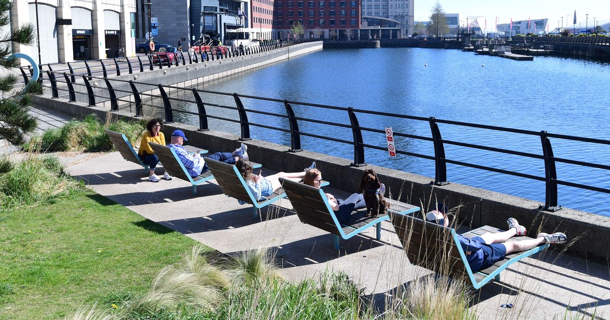
The sunshine comes before heavy rain on Thursday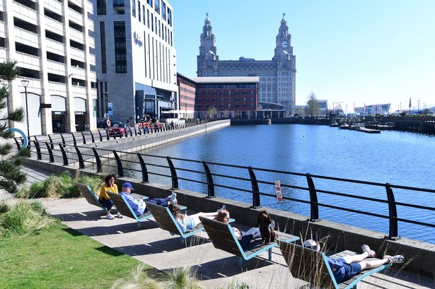 People relaxing in the sunshine at Princes Dock. (Pic Andrew Teebay).(Image: Andrew Teebay/Liverpool Echo)
Liverpool is set to bask in “strong sunshine” as temperatures are to reach highs of 27C. The Met Office said it will be settled throughout Wednesday, June 11 with prolonged periods of sunny weather before turning “hazier” later on.
Forecasters said it will feel very warm and increasingly humid as a southerly breeze picks up. In Liverpool, maximum temperatures are set to reach 27C.
It will remain dry overnight, however by Thursday morning the rain will come, with a change of heavy rain and thundery showers. The Met Office said the plume of warm air moving in from the south will drive a change to the weather later this week.
While Wednesday itself will be a largely fine and dry day for much of the UK, with just the southwest of England, Northern Ireland and western Wales perhaps under cloud, heavy, thundery showers will move in through the evening and overnight from the southwest.
Some western areas could see 20-40mm of rain over just a few hours as these intense downpours move through to the northeast, with frequent lightning for some.
Met Office deputy chief meteorologist, Mike Silverstone, said: “After largely benign weather early in the week, some intense, thundery showers will move in on Wednesday evening. These thunderstorms are being triggered by some warm, humid air that is moving into the UK from the south.
“The intense rainfall could see 20-40mm accumulating over just a few hours, which could cause some disruption. While there are no severe weather warnings issued at the moment, it is possible thunderstorm warnings may be issued this week.”
 People enjoying the warm weather in Sefton Park(Image: Andrew Teebay)
The thunderstorms and a wider area of showers will move north and east through Thursday, leaving more settled weather for a time through Friday for most.
However, another band of thunderstorms moves in again from the south-west later Friday bringing further intense rainfall into the early hours of Saturday.
The thunderstorms are being triggered by warm air moving in from the south. While there will be varying degrees of cloud cover across the UK, temperatures will build through the week. Highs of 27C are forecast for Wednesday, 27C for Thursday with 29C possible by Friday. The highest temperatures are expected in southeast and central England.
Mike added: “As temperatures rise this week, it is possible heatwave thresholds could be reached in some parts of the UK, particularly the northwest Midlands, northwest England and northeast Wales, however it is very dependent on cloud cover later this week, so it is not a certainty.
“This warm spell will feel different to the fine weather we experienced in May as the humidity will be much higher, making it feel more uncomfortable.
“Additionally, while in May the nights were still fairly cool, overnight temperatures this week are forecast to remain fairly warm, which can disrupt people’s sleep.”