20 counties across Wales are set to be affected by the storms
11:10, 12 Jun 2025Updated 11:11, 12 Jun 2025
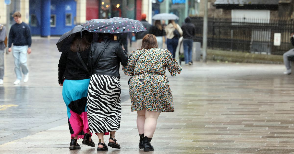
 Wales is set for a hammering this weekend(Image: WalesOnline/Rob Browne)
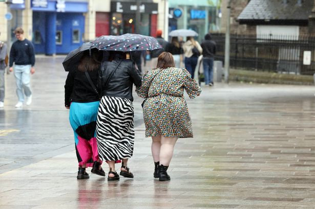
The Met Office has extended Thursday’s yellow weather warning for thunderstorms to 8pm, and issued two new warnings spanning across two days – Friday and Saturday.
A yellow warning was issued on Wednesday covering 19 Welsh regions, and now a new Yellow weather warning is in effect, starting from around Friday 7pm and running until Saturday 12am. It will affect 20 counties including Blaenau Gwent, Bridgend, Caerphilly, Cardiff, Carmarthenshire, Ceredigion, Conwy, Denbighshire, Gwynedd, Merthyr Tydfil, Monmouthshire, Neath Port Talbot, Newport, Pembrokeshire, Powys, Rhondda Cynon Taf, Swansea, Torfaen, Vale of Glamorgan, and Wrexham.
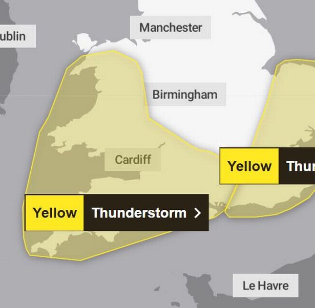 This warning is active from around Friday 7pm and running until Saturday 12am
From 1am on Saturday, another warning comes into affect. This one covers 22 counties. These include Blaenau Gwent, Bridgend, Caerphilly, Cardiff, Carmarthenshire, Ceredigion, Conwy, Denbighshire, Flintshire, Gwynedd, Isle of Anglesey, Merthyr Tydfil, Monmouthshire, Neath Port Talbot, Newport, Pembrokeshire, Powys, Rhondda Cynon Taf, Swansea, Torfaen, Vale of Glamorgan, and Wrexham.
Meteorologists warn that the regions affected should prepare for frequent lightning strikes and torrential rain to arrive at around 1am and last until 7pm.
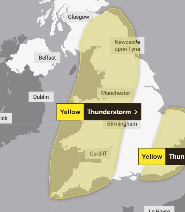 This warning is active om Saturday from 1am and will last until 7pm
Forecasters say the impacted regions can expect to see frequent lightning strikes and heavy downpours.
A Met Office forecast said: “Areas of heavy rain and some thunderstorms are likely to move northwards into southwest England and Wales on Friday evening.
“Rainfall amounts and thunderstorm activity will vary across the area however there is the potential for 20 mm of rain to fall in an hour and 30-40 mm to fall in 3 hours or less in a few places.
“As well as this there is a small chance of frequent lightning and hail within the rain area as additional hazards.”
Members of the public have been warned that “some flooding of a few homes and businesses is likely, leading to some damage to buildings or structures”.
They are warned to expect “some damage to a few buildings and structures from lightning strikes; There is a good chance driving conditions will be affected by spray, standing water and/or hail, leading to longer journey times by car and bus; Delays to train services are possible; Some short term loss of power and other services is likely”.
During intense thunderstorms, the advice is as follows:
“Consider if your location is at risk of flash flooding. If so, consider preparing a flood plan and an emergency flood kit.
“People cope better with power cuts when they have prepared for them in advance. It’s easy to do; consider gathering torches and batteries, a mobile phone power pack and other essential items. If you find yourself outside and hear thunder, protect yourself by finding a safe enclosed shelter (such as a car).
“Do not shelter under or near trees, or other structures which may be struck by lightning. If you are on an elevated area move to lower ground. Be prepared for weather warnings to change quickly.”
When a weather warning is issued, the Met Office recommends staying up to date with the weather forecast in your area.
For further details see Met Office Warnings & Advice.
Get daily breaking news updates on your phone by joining our WhatsApp community here. We occasionally treat members to special offers, promotions and ads from us and our partners. See our Privacy Notice