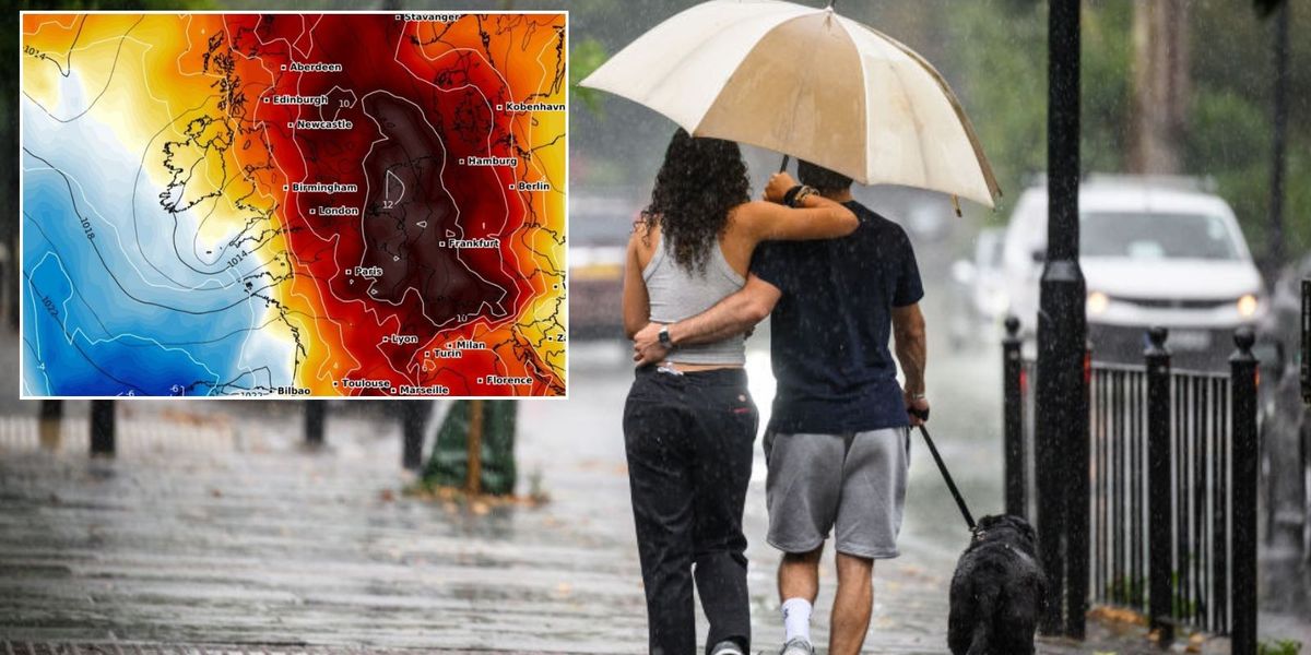
An Atlantic storm “trapped” in a loop in the jet stream will drive soaring temperatures, tropical humidity and thunderstorms.
Freakish weather triggered by a wavy jet stretching from the United States will pull a monsoon deluge in from the Continent.
Friday is expected to bring the peak of the heatwave as thermometers in southern regions nudge 30C.
Fine, warm weather during the middle of the week will give way to outbreaks of thunder ahead of the weekend.
An Atlantic storm ‘trapped’ in a loop in the jet stream will drive soaring temperatures, tropical humidity and thunderstorms
WXCHARTS/ Getty
Met Office meteorologist Alex Deakin said: “The jet stream is starting to shift, and we are seeing a bit of a wiggle, and that ripple is starting off over the Americas, and pulsing downstream.
“We are getting more of an amplified jet stream, and there is a low trapped in a trough that is going to slowly meander towards the UK over the next few days.
“Ahead of it, high pressure is building and that is why we are seeing fine weather for most places and temperatures rising.”
Temperatures will rocket as winds draw up from Spain with highs likely to touch 30C by the end of the week.
Unlike the spring mini-heatwave, this week’s blast will be intensified by rising humidity leading to sticky nights, Deakin warned.
He said: “Low-level winds are drawing up our air from the south, from Spain where the air is warm and that is why our temperatures are going to be rising.
“The hottest day of the spell is likely to be Friday across central and eastern parts where temperatures will be in the high 20Cs with 29C the top temperature.
“It is going to get warmer by night with temperatures getting into the mid-teens across the south and staying in the teens further north on Thursday night and Friday night.

Friday is expected to bring the peak of the heatwave as thermometers in southern regions nudge 30C
WXCHARTS
“The humidity is what most of us are going to notice most, and whether it will be sunny will depend on the rainfall.”
Temperatures in parts of the country could nudge past 30C by the end of the week, according to some forecasters.
Humidity and the timing of thunderstorms will determine when the hottest weather arrives.
Jim Dale, meteorologist for British Weather Services and social commentator, said: “The thunderstorms could quash the 30C temperatures until later in the week or the weekend, depending on when they arrive.
“But this is going to be a warm and humid period with a plume of air coming in from the Continent where temperatures are already very high.
“I expect it to stay warm through the weekend, and again this is when we could see 30C or maybe 32C as a maximum.”
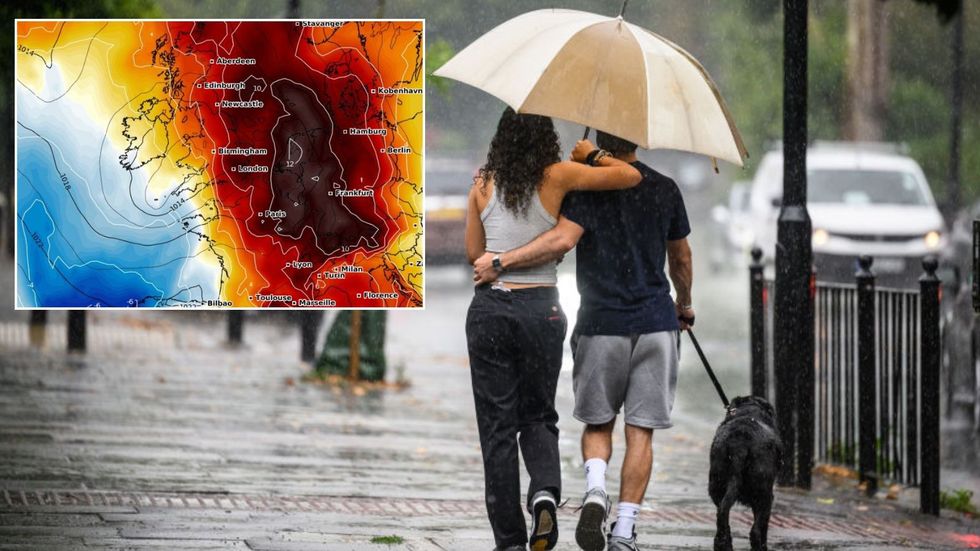
Tropical humidity will bring the greatest risk of heavy downpours and thunder through the run up to the weekend.
As higher pressure builds, the clouds should part to bring more in the way of clear skies and sunshine.
Showers and heavier downpours will remain a risk in parts of the country until mid-month, experts warn.
Jason Nicholls, lead international forecaster for AccuWeather, said: “Through the end of the week, a front moving across the UK will bring the risk of showers and thunderstorms.
“The weekend will be drier, but even then, we can’t completely rule out the risk of showers in the north and west of the country.”