The weather warnings will last until Saturday
11:13, 12 Jun 2025Updated 11:47, 12 Jun 2025
 A new thunderstorm weather warning has been issued.(Image: Met Office)
Three days of thunderstorms are expected in Bristol, Gloucestershire and Somerset as two more weather warnings have been issued which will run into the weekend.
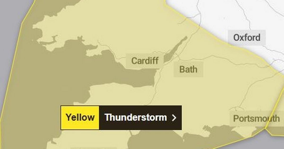
A yellow weather warning for thunderstorms is already in place across the region today (Thursday, June 12) which has resulted in some flooding and disruption.
This is set to continue as new weather warnings for thunderstorms were issued by the Met Office this morning for tomorrow (Friday) and Saturday.
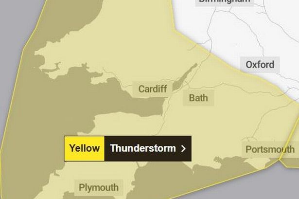
Friday’s weather warning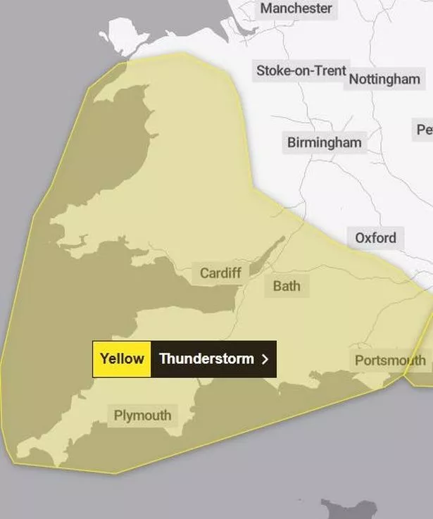 A new thunderstorm weather warning has been issued.(Image: Met Office)
The warning for tomorrow has warned people of heavy rain and thunderstorms from 6pm tomorrow, lasting until the end of the day.
The warning is in place for the entire South West, from Cornwall, Devon and Plymouth up to Somerset, Bristol and Gloucestershire, as well as a large part of Wales, the Midlands and London and South East England.
READ MORE: Lightweight Roman raincoat ‘so useful’ for unpredictable British summer weather
Heavy rain and thunderstorms are likely to move northwards on Friday evening as some areas may be subject to 20mm of rain in an hour and 30 to 40mm to fall in less than three hours.
The Met Office said that there is a small chance of frequent lightning and hail.
Spray from the roads and sudden flooding could lead to some road closures and difficult driving conditions, with the Met Office warning that some communities may be cut off by flooding.
Transport services may be disrupted, power cuts could occur and some homes and properties may be flooded.
Saturday’s weather warning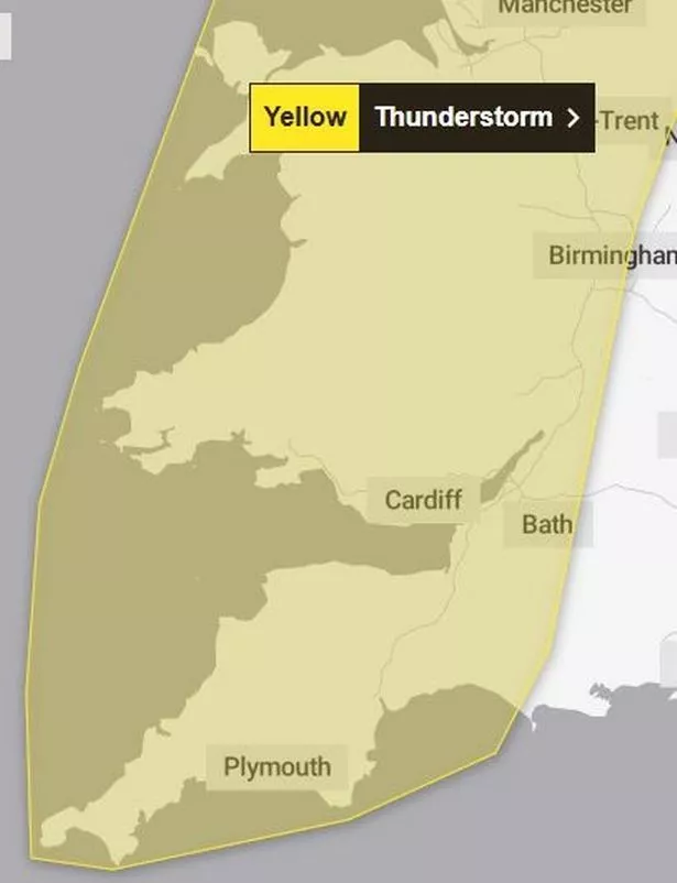 A second weather warning has been issued.(Image: Met Office)
The following day, from midnight until 6pm, thunderstorms will continue and there may be some danger to life due to fast flowing or deep floodwater.
Rain and thunderstorms will continue to move northwards, eventually reaching Scotland later in the morning.
Further heavy showers and thunderstorms are likely to break out once this rain has moved north, and some areas could get 80mm of rainfall across the day.
The weather warning will affect the whole of the South West and Wales, but also includes the Midlands, Yorkshire, the North East and North West of England and South West Scotland.
It is likely that the weather warning will same the same impact as Friday’s weather.
What to do during the weather warnings?
The Met Office said: “Consider if your location is at risk of flash flooding. If so, consider preparing a flood plan and an emergency flood kit.
“Prepare to protect your property and people from injury. Before gusty winds arrive, check to ensure moveable objects or temporary structures are well secured. Items include; bins, garden furniture, trampolines, tents, gazebos, sheds and fences.
“Give yourself the best chance of avoiding delays by checking road conditions if driving, or bus and train timetables, amending your travel plans if necessary.
“People cope better with power cuts when they have prepared for them in advance, it’s easy to do; consider gathering torches and batteries, a mobile phone power pack and other essential items.
“If you find yourself outside and hear thunder, protect yourself by finding a safe enclosed shelter (such as a car).
“Do not shelter under or near trees, or other structures which may be struck by lightning. If you are on an elevated area move to lower ground.”