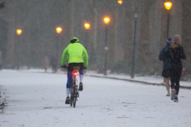
After the highs of recent days, the coming week could bring a risk of wintriness across England After the highs of recent days, the coming week could bring a risk of wintriness across England
23 counties in England are set to be SPARED snowfall as a wintry bomb hits the country as temperatures drop a staggering 24C. After the highs of recent days, the coming week could bring a risk of wintriness across England.
According to WX Charts data, which uses Met Desk data, counties at risk in and around April 16 include the West Midlands, East Midlands, the Peak District, Lincolnshire, and Yorkshire Dales.
Places set to be spared include Bedfordshire, Cambridge, Isle of Ely, Huntingdon, Peterborough, Norfolk, Suffolk, Hertfordshire, Buckinghamshire, Essex, Greater London, Oxfordshire, Berkshire, Kent, Surrey, Hampshire, Sussex, Isle of Wight, Devon, Cornwall, Dorset, Somerset and Gloucestershire.
READ MORE UK faces first snow of April with flurries and -7C ‘lasting three days’
James Madden, from Exacta Weather, said: “Additionally, it will also be cold enough across some large parts of Scotland and certain parts of northern England for wintry weather and snow across higher ground at the very least and possibly temporarily to some much lower levels during late Wednesday and early Thursday.
“The track of some further low-pressure areas with further heavy rain and unsettled conditions will more than likely continue to barrage across or near our shores and influence our weather for several days after the midweek one has passed through (a potentially named storm covered above), particularly more so in some parts to the south and west of the country.
“However, away from these areas and regions above, we could also see some brighter spells in between these developing showers and unsettled conditions.
“This will then more than likely pave the way for some additional and more potent wintry and cold weather that could even bring wintry precipitation, snow, or temporary snow, at the very least, to some much lower levels for very late in the season during next week and late April and, as covered in our 90+ days ahead spring forecast for these exact same dates and also prior to the correctly forecast mild to warm conditions of late.”
Mr Madden had said previously: “LATE APRIL could also bring one of those more prolonged cold and wintry episodes for the time of the year, particularly around the period of around 22-29 April.”
“Obviously, these won’t have the same sting as, say, mid or late winter, but nevertheless they could become quite potent and even offer some temporary snow to some lower levels in this exact period that will now only be a handful of weeks away in terms of the start of the meteorological summer (1st June) with mild to warm weather periods prior to this and until LATER in April,” he said.
