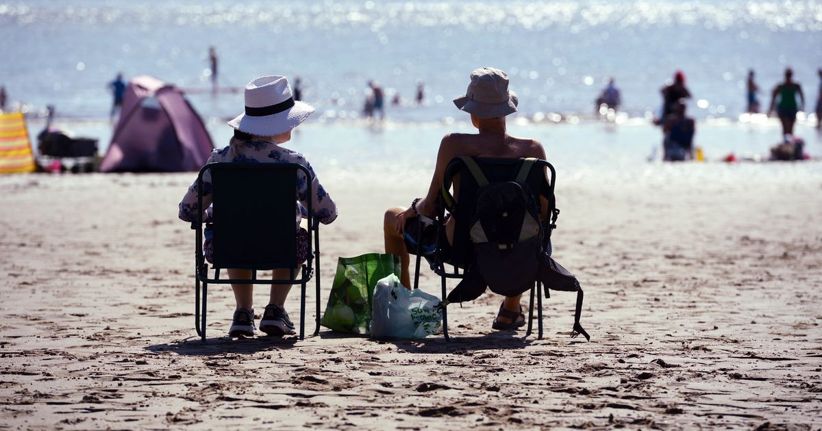
After a weekend of unsettled weather, temperatures are set to soar in the coming week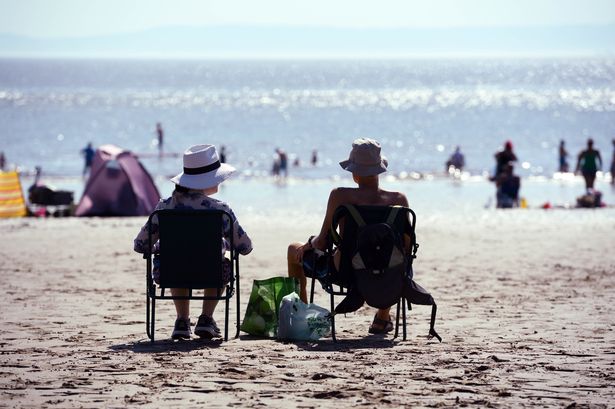 Temperatures are set to soar(Image: WalesOnline/ Rob Browne)
After a weekend beset by thunderstorms, Wales is set for scorching 29C temperatures in the coming week. Following weeks of mixed conditions, forecasters are predicting a week of very warm and dry conditions.
On Thursday, May 19 some areas in Wales will see temperatures reaching 29C, according to weather maps. This is most likely in and around Monmouth.
But plenty of places will see temperatures reach 27C on Thursday. Forecasters predict this will be the case in locations including Cardiff, Builth Wells, Newtown and Wrexham.
Before this, the week is set to start with highs of around 21C. The Met Office forecast for Monday states: “Mainly dry and fine with plenty of sunny spells, though a few light showers are possible across the mountains during the afternoon. Light winds, and feeling warm in the sunshine.”
The forecast for Tuesday to Thursday said: “Mostly settled this week as high pressure builds from the southwest. Some cloudy periods, with patchy rain across the hills on Tuesday, but plenty of sunny spells too. Feeling warmer.”
BBC weather presenter Derek Brockway said in a post on X: “Next week high pressure will be dominant which means more settled and summerlike weather!
“Drier than average with sunny spells and feeling warm or very warm. Possibly hot in places next Thursday with 27C in places.”
Weather maps
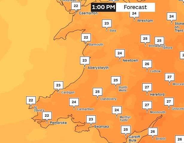
This Met Office weather map shows that parts of Wales will first hit 27C at around 1pm on Thursday, June 19.
These areas include Abergavenny and Monmouth, with Newport and Hay-on-Wye reaching around 26C.
 Temperatures at 1pm on Thursday(Image: Met Office)
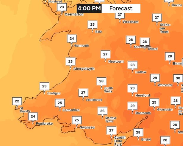
Then at 4pm on Thursday, June 19, more places hit 27C including Cardiff, Newport, Llandovery, Builth Wells, Newtown, Oswestry and Wrexham.
Welshpool, Ludlow, Hay-on-Wye, Abergavenny and Chepstow are set to hit 28C while Monmouth will even hit 29C.
 Temperatures at 4pm on Thursday(Image: Met Office)
Temperatures are set to remain hot at 7pm with Chepstow, Abergavenny and Hay-on-Wye remaining at 27C and Monmouth hitting 28C.
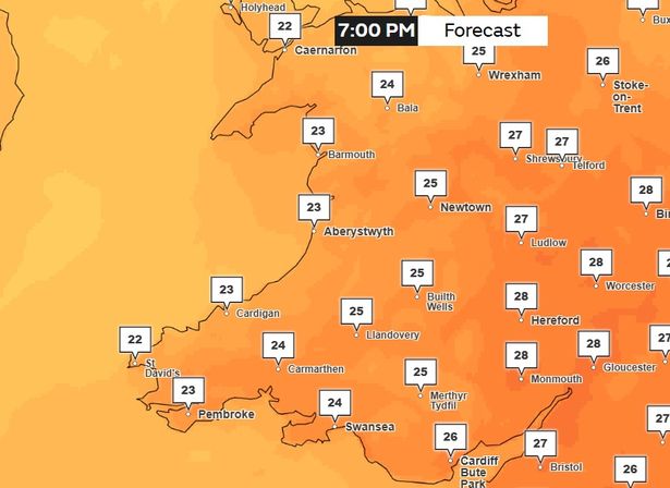 Temperatures at 7pm on Thursday(Image: Met Office)Looking further ahead
As we move further ahead, the Met Office is predicting a “northwest to southeast split” could be seen. Their forecast for Friday, June 20 to Sunday, June 29 says: “Most parts of the UK are expected to be fine and dry at the start of this period, with a low risk of thundery showers in the west.
“Then a northwest to southeast split is likely to develop.
“The wettest and windiest conditions are expected in the northwest, with rain at times which may be heavy in places. It will likely be very warm or perhaps hot at first in the north, quickly becoming near normal or slightly above.
“More settled in the southeast with conditions drier overall, although some rain will probably spread from the west or northwest at times.
“There is also the risk that isolated heavy showers and thunderstorms could develop at times. Temperatures are expected to be above normal, perhaps with some hot spells.