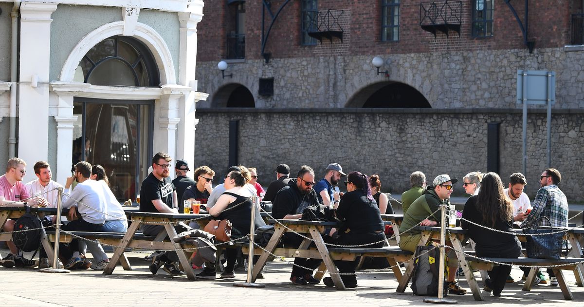
It comes before temperatures are set to reach 30C at the end of the week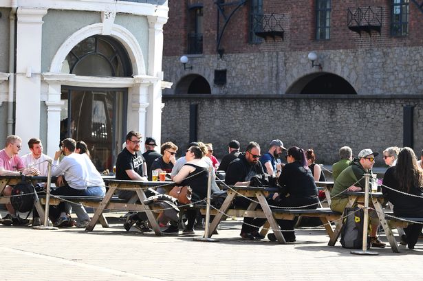 People enjoying the sun at the Baltic Fleet pub beer garden(Image: Andrew Teebay Liverpool Echo)
It is set to be a sunny start in Liverpool before turning cloudy with possible spells of rain. The Met Office said it will be a dry start for most in Merseyside.
However cloud is set settle at around 1pm and will remain for most of the day. There is a small chance of rain at around 6pm in Merseyside. Temperatures will reach highs of 20C and lows of around 14C.
Tonight is set to be a cloudy evening for many with some drizzle over higher ground. The milder weather comes before temperatures are set to hit 30C on Friday, June 20.
The Met Office said much of the UK will be in heatwave conditions by the coming weekend and heat will build through the week.
On Wednesday the highest temperature values in the UK are expected to be around 27C. On Thursday this will rise to 29C and by Saturday increasing more locations will exceed heatwave values, with the highest temperatures expected to exceed 30C.
Matthew Lehnert is a Met Office chief meteorologist. He said: “An area of high pressure over southern England will build across a larger part of the UK through midweek. Ahead of this, wet and windy weather will affect the far northwest later today and into Tuesday morning. It will remain very warm across parts of the south and east.”
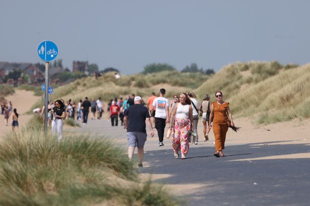 People enjoy the hot weather at Crosby beach(Image: Liverpool Echo)
Tony Wisson is a deputy chief meteorologist. He said: “The rising temperatures this week are a combination of several factors. Over the next few days, settled weather and warm sunshine will allow temperatures to rise day on day.
“Temperatures will then rise further towards the end of the week as winds turn more southerly and even warmer air over continental Europe will be drawn across the UK. We could very well see several places exceeding 30C, which will be the highest temperatures of the year so far.”
The Met Office said heatwave conditions in the UK are met when a location records a period of at least three consecutive days with temperature values meeting or exceeding the heatwave temperature threshold for that location.
Across much of the north and west of the UK this threshold is 25C, but across Greater London and the Home Counties the threshold is higher, at 28C.
Mr Wisson added: “By the beginning of the weekend we could very well be meeting heatwave thresholds in places. While the warmest temperatures are likely across London and the east of England, by Saturday heatwave thresholds could be reached across much of the Midlands, low-lying areas bordering the Peak District and even parts of east Wales.”
High pressure is expected to move away from the UK into early next week resulting in temperatures falling. However, there is uncertainty in how quickly this happens, and the peak temperatures experienced across the UK.
Mr Wisson added: “Temperatures are likely to peak in the low 30s Celsius this weekend before easing sometime early week. Some forecast models even allow temperatures to rise into the mid 30s of Celsius by Monday. While this is feasible, it is considered a lower-likelihood scenario.”