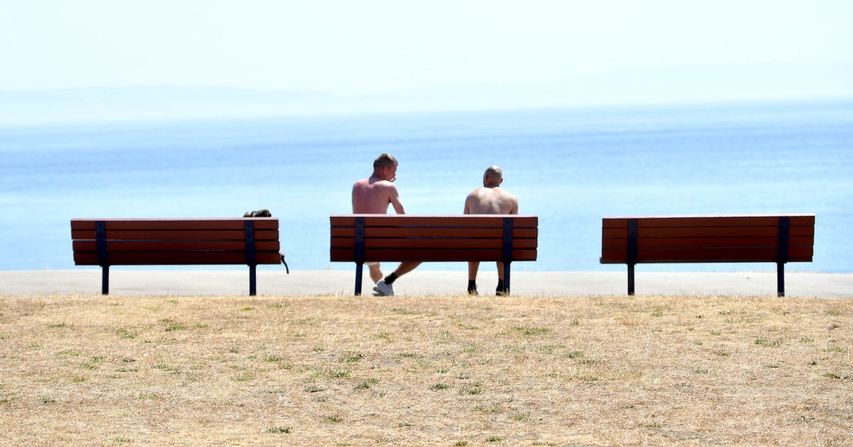
Things are looking a lot brighter and sunnier over the coming days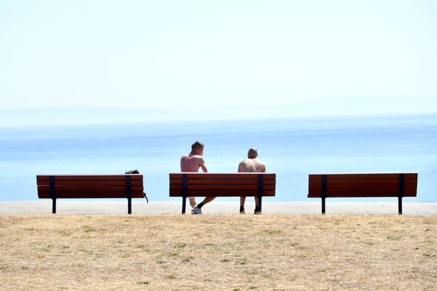 People enjoy the view at Barry Island(Image: WalesOnline/Rob Browne)
Temperatures in Wales look set to continue to ratchet up in the coming days with the nation on course to see a new hottest day of the year.
Met Office weather maps suggest that temperatures as high as 32C are on the cards in south east Wales as the nation enters another heatwave. To be officially classed as a heatwave, temperatures need to exceed 25C on three days in a row.
It looks like that Wales will see three or possibly even four days when temperatures exceed that mark, before the current spell of warm weather breaks again. It’s touch and go whether today, Saturday, sees the mercury rise above 25C. But Sunday, Monday and Tuesday all look set to breach that mark.
For those of you that love the heat and like an impromptu trip down to the beach, Monday might the best day in a while for you to make the most of it.
Looking at the most recent weather maps, Monday promises to be something of a scorcher in many parts of Wales. Carmarthen in the west will see highs of around 25C by mid to late afternoon, while it will be slightly warmer than that in Swansea. For our free daily briefing on the biggest issues facing the nation, sign up to the Wales Matters newsletter here.
In Cardiff, meanwhile, temperatures could reach as high as 29C, with Monmouth on course to record the hottest day of the year with temperatures hitting 32C. The exact time that will happen is 4pm on Monday, according to the Met Office’s forecast maps.
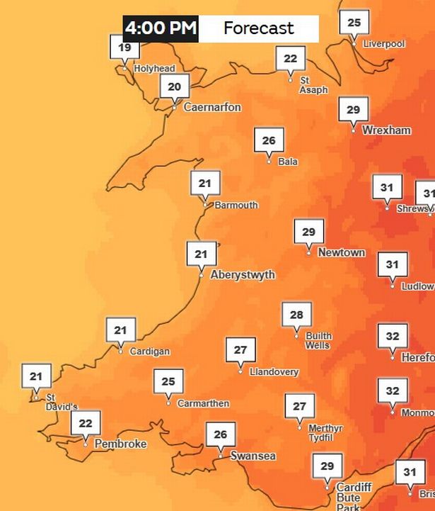 It is set to be 32C in Monmouth at 4pm on Monday, July 30(Image: Met Office)
While Tuesday and Wednesday are set to a bit cooler, they should both still be fine and dry days. Temperatures will rise as high as 27C on Monday but will be a bit lower between the 20C and 23C on Wednesday, although some parts could see heavy rain as it turns less humid on Wednesday.
According to the Met Office, the rest of Saturday should stay “largely dull overnight with the occasional clear spells in the east. Patchy rain mostly affecting the north and over the hills. Staying humid overnight. Minimum temperature 12 °C”.
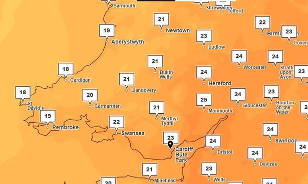 What the weather will be like on Wednesday afternoon (Image: Met Office)
As for Sunday, the Met Office says: “Generally drier on Sunday. Still rather cloudy to start but the brighter and sunnier breaks developing more widely than Saturday into the afternoon. Very warm and humid.”
The outlook for Monday reads as follows: “Very warm and humid again on Monday with lengthy spells of sunshine. Cloud building from Tuesday with periods of rain into Wednesday, perhaps heavy at times, but turning fresher.”