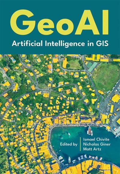
A new Esri book, GeoAI: Artificial Intelligence in GIS, provides real-life stories about public- and private-sector organizations as well as NGOs and nonprofits successfully using GeoAI (artificial intelligence) to manage processes, workflows, policies and communication. The book includes a technology showcase that provides ideas, strategies, tools and actions to help jump-start the use of GeoAI.
Organizations around the globe rely on geographic information system (GIS) technology to manage and analyze data through the powerful lens of location to tackle some of the toughest business and societal challenges. The emergence of AI-enhanced GIS has opened new opportunities to automate complex spatial analyses and harness the full power of spatial analysis.
This democratization of GIS can help everyone make better decisions faster, from city planners and policymakers to businesses, research groups, and constituents. In addition, organizations that already use GIS extensively will benefit from the ability to tackle complex problems by combining human GIS expertise with AI capabilities.
GeoAI: Artificial Intelligence in GIS, by Matt Artz, Ismael Chivite and Nicholas Giner, publishes Sept. 2, by Esri Press. While the book officially publishes on Sept. 2, Esri is printing it early so that it will be available at the Esri User Conference in San Diego July 14-18.
GeoAI: Artificial Intelligence in GIS
Authors: Matt Artz, Ismael Chivite, and Nicholas Giner
Publication Date: September 2, 2025
$39.00, 120 pages
5.5 x 8”
Full-color illustrations, maps and photos throughout
Print ISBN: 9781589488441
eISBN: 9781589488458
