The change in the weather comes after a glorious weekend of sunshine
22:31, 16 Jul 2025Updated 22:38, 16 Jul 2025
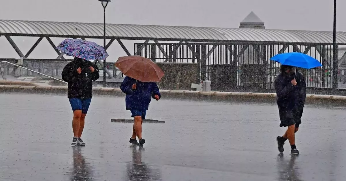
 Rain on the Liverpool waterfront(Image: Colin Lane/Liverpool Echo)
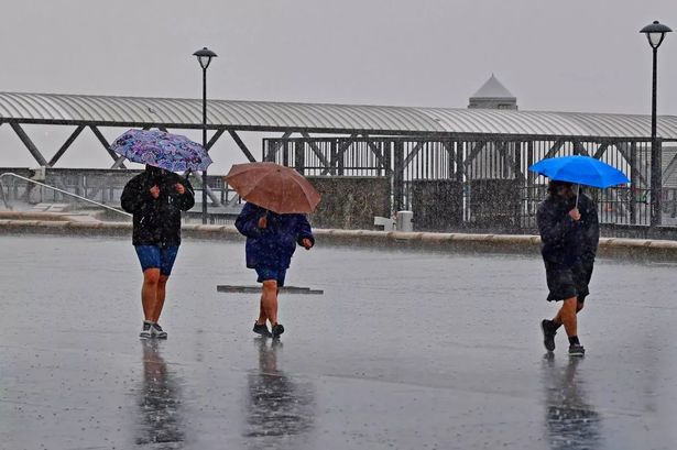
We can officially say goodbye to the glorious summer weather we’ve had over the past week in Liverpool, as “thunderstorms and hail” may hit the North West over the next few days. Temperatures exceeded 30C over the weekend, but we’ve seen a drastic change with a drizzly few days. Wednesday was overall a bit brighter, both dry and mild, but Thursday brings more rain.
The Met Office has said we can expect cloud, rain and drizzle on Thursday, with scattered showers into the afternoon. These may be heavy at times, carrying a risk of thunder and hail. However, it will be humid, with a maximum temperature of 23C.
The latest forecast from the BBC for Liverpool shows “thundery showers” on Saturday and Sunday, as well as on Monday and Tuesday next week. Thunder is expected to hit the city at 4pm on Saturday followed by light rain and a gentle breeze. The BBC weather forecast for Sunday shows thundery showers from 2pm until 4pm.
In its outlook for the North West for Friday, July 18 to Sunday, July 20, the Met Office said: “Warm with sunshine and scattered showers easing through the evening on Friday. Becoming unsettled from Saturday as heavy, sometimes blustery showers spread northwards, bringing the risk of thunder and hail.”
This weekend’s weather forecast is disappointing for music fans who have had their tickets to see Oasis perform at Heaton Park for months.
Last weekend saw over 140,000 fans witness Liam and Noel Gallagher share the stage during a mini-heatwave for the first time in 16 years in Manchester. The tour kicked off in style last week with two shows at the Cardiff Principality Stadium.
The Manchester concert was packed with highlights, including frontman Liam getting jeered for his Manchester City mention and Noel paying a touching tribute to Caroline Aherne.
Fans were able to soak up the sunshine last weekend, and the crowd was filled with signature-styled bucket hats and sunglasses. But ticketholders for this weekend may need to take an umbrella, but temperatures will remain around 23C.
Despite the expected dip in temperatures and the arrival of more unsettled weather, this may only be a temporary blip, according to the weather agency.
It said: “Box and whisker plots, used to show the range of temperature forecasts, indicate a potential rebound in temperatures later in the 10-day period, particularly in the south.”
The general trend points towards a return to warmer conditions as we head into the latter part of July. Northern areas may not see the same intensity of heat, but southern parts of the UK could once again experience temperatures well above average.
In its long-range UK weather forecast for Saturday, July 19 until Monday, July 28, the Met Office said weather conditions are expected to be changeable overall across the UK during this forecast period.
The weather agency said: “Some of the rainfall is likely to be heavy in places, with a risk of thunderstorms at times. Temperatures are expected to be above normal for the majority of the UK throughout this period, although the chance of further hot spells has reduced somewhat in the latest forecast.”
Join the Liverpool ECHO Breaking News and Top Stories WhatsApp community to receive the latest news straight to your phone by clicking here. Don’t miss the biggest and breaking stories by signing up to the Echo Daily newsletter here