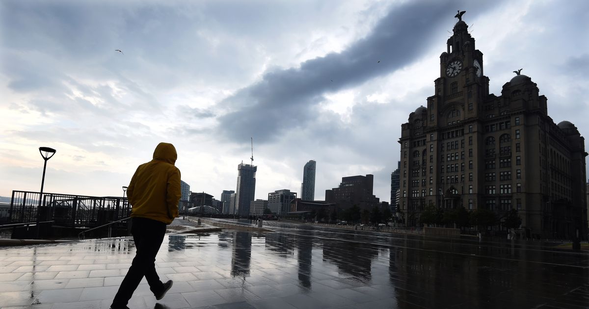
The unsettled weather comes after a hot spell for the country Storm clouds gathering over Liverpool’s waterfront(Image: Liverpool ECHO)
The Met Office has issued new yellow weather warnings for parts of the UK as thunderstorms are set to hit many areas. Alerts come as the weather agency says: “Behind the persistent rain, intense thundery downpours are developing.”
Today there are two yellow weather warnings in place across the UK. One warning is in place from 9pm this evening and will be lifted at 8pm tomorrow evening. Thunderstorms bring the potential for the disruption to transport and infrastructure through Friday afternoon and evening. The Met Office said Merseyside is a region that will be affected.
The Met Office says: “Thundery rain will reach the south of the warning area later Friday before spreading north to affect much of England through Saturday.
“Rain will likely be locally torrential, bringing 20-30 mm in less than an hour in many places, with 60-90 mm in less than three hours possible in a few places. As well as heavy rain, impacts from frequent lightning, gusty winds and large hail are also likely.”
Delays to train services and some short term loss of power and other services could occur. The weather service also warns of damage to few buildings and structures from lightning strikes, as well as some flooding of a few homes and businesses, leading to some damage to buildings or structures.
Driving conditions could be affected by spray, standing water and/or hail, leading to longer journey times by car and bus. The Met Office also offers advice for those affected by the warning.
The weather service said: “Consider if your location is at risk of flash flooding. If so, consider preparing a flood plan and an emergency flood kit.
“Prepare to protect your property and people from injury. Before gusty winds arrive, check to ensure moveable objects or temporary structures are well secured. Items include; bins, garden furniture, trampolines, tents, gazebos, sheds, and fences.”
One warning, that does not affect Merseyside, is in place from 12pm today and will be lifted at 8pm tomorrow evening. Thunderstorms bring the potential for the disruption to transport and infrastructure through Friday afternoon and evening.
Showers and thunderstorms will develop across parts of northern England early Friday afternoon, before becoming concentrated across parts of northeast England.
In the Met Office forecast for the North West tonight, it says: “A dry evening with late sunny spells, before skies turn cloudier overnight. Heavy showers spread northwards bringing a risk of thunder and hail by dawn. Warm and humid for all. Minimum temperature 15 °C.”
The forecast for tomorrow states: “Widely cloudy with rain continuing to spread northwards. Frequent torrential downpours and more prolonged periods of rain bring the risk of thunderstorms and hail. Temperatures suppressed beneath the cloud. Maximum temperature 23 °C.”
Met Office Chief Meteorologist Jason Kelly, said: “More warnings could be issued for the weekend and early next week. Keep an eye on the Met Office forecast for updates as the picture develops.
“Within the warm and humid airmass we will potentially see temperatures reaching 30°C or more for parts of eastern England by Friday, with very warm and muggy conditions continuing into the weekend in parts of central and southern England.”