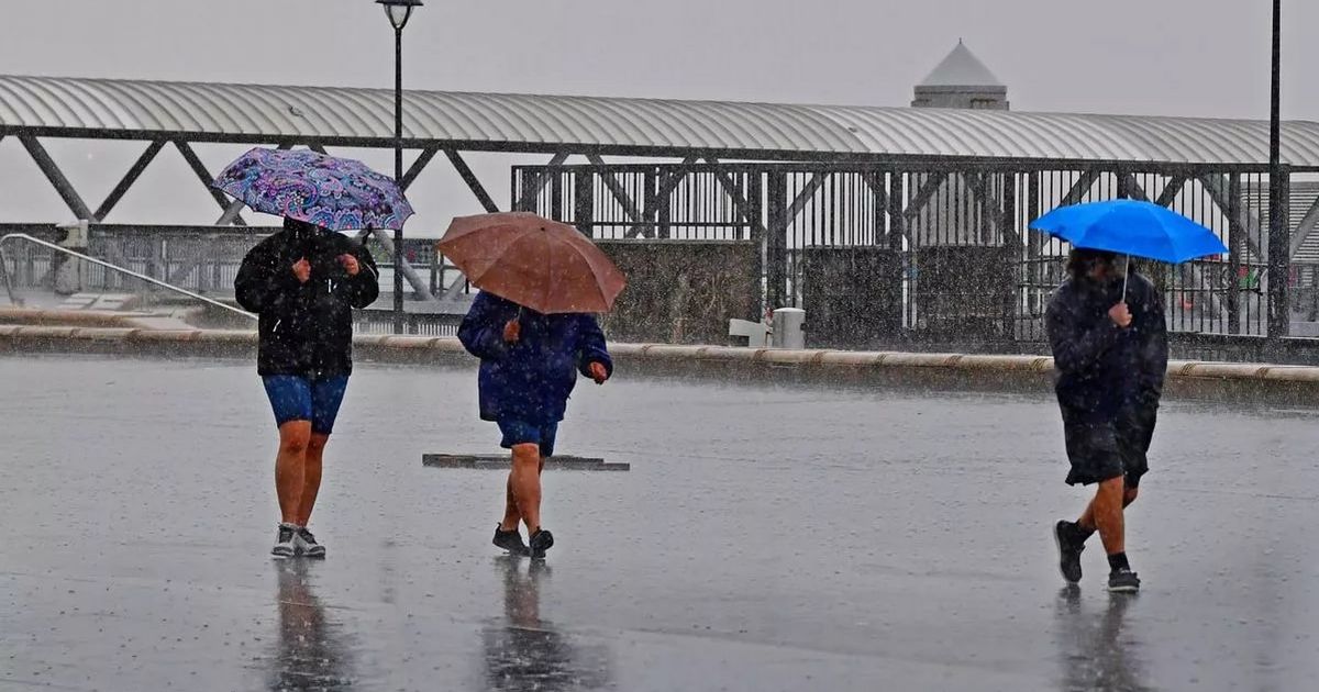
It will be a mix of rain and sunshine today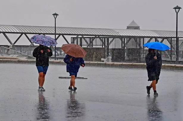 Rain on the Liverpool waterfront(Image: Colin Lane/Liverpool Echo)
Liverpool is set to be hit by heavy showers before turning brighter in the afternoon. The Met Office said the region will be hit by downpours between 8am and 12pm on Monday, July 28.
It is then set to clear with sunny intervals lasting through most of the day. Forecasters said it is also set to be a warm day, with temperatures reaching highs of 21C and lows of 15C in Merseyside.
The Met Office said: “Overall, a bright and fine day with sunny spells breaking through the cloud. A few showers are possible, these mostly light. Feeling warm in the sunshine with a gentle breeze. Maximum temperature 21C.”
Tonight is set to be a dry evening with “late sunshine to enjoy”. The Met Office said cloud is set to build overnight as rain arrives towards dawn on Tuesday. The weather agency added: “Fresh initially but turning milder overnight as the cloud moves in. Minimum temperature 12C.”
Things are set to be more gloomy on Tuesday and will be “grey and damp”, according to forecasters with outbreaks of rain and drizzle. It is also set to be “slightly breezy” but feeling humid with temperatures reaching highs of 19C.
For its outlook for Wednesday to Friday, the Met Office said: “Often cloudy but with occasional brighter periods. Somewhat drier on Wednesday though some showers possible. Humid again on Thursday as rain pushes eastwards, then heavy showers on Friday.”
The past few weeks have brought plenty of sunshine and pleasant conditions, but more recently there’s been a noticeable dip in temperatures. While July and August are typically the warmest months in the UK, the recent cooler mornings and earlier nightfall hint at a subtle shift in the season’s tone.
According to long-range forecasts from the Met Office and BBC Weather, the beginning of August is expected to feel breezier, with westerly winds bringing spells of rain, particularly across northern regions.
Still, there’s room for optimism. Shifting weather patterns suggest a possibility of warmer, more settled conditions returning as August progresses.
 Rainy reflections on the Pier Head in Liverpool(Image: Liverpool Echo)
What does the Met Office say?
Over the next fortnight, weather systems dominated by winds from the west and northwest are likely to bring rain and showers, broken up by calmer intervals. The north and west of the UK are set to bear the brunt of this unsettled weather, with occasional extended periods of rainfall.
Conversely, the south is more likely to experience longer dry and bright spells. As high pressure builds into early August, especially from the northeast, the likelihood of more stable and settled conditions increases.
While it may stay breezy in northern areas, temperatures are expected to hover around normal, with some warmer days mixed in.
Looking further into the month, though changeable conditions will persist at times, more consistent dry and sunny weather is likely to emerge, particularly in the south, with a chance it could spread across much of the country.
Overall, temperatures may trend toward or even exceed seasonal norms, with southern and eastern areas possibly seeing some notably hot spells.
What does BBC Weather say?
As July draws to a close and August begins, the UK may continue to experience relatively cool and unsettled weather, occasionally accompanied by brisk winds from the west or north.
In the weeks ahead, mixed weather signals are expected, although confidence is building around a potential shift in the pattern.
If this transition occurs, temperatures could begin rising above seasonal averages, especially in southern parts of the UK. Drier, calmer conditions could then take hold, offering a return to more typical summer weather.