
The State Meteorological Agency (AEMET) has issued a special weather warning for an intense heatwave expected to affect almost the entire Spanish mainland, with the exception of the Cantabrian region and the Canary Islands. This heat episode is forecast to begin on Sunday, 3 August, and may continue until at least Sunday, 10 August, though earlier forecasts had suggested an improvement by Thursday, 7 August.
Heatwave Characteristics and Meteorological Conditions
According to AEMET, temperatures will rise sharply on Sunday, particularly in the southwestern quadrant and southern Galicia, where highs of 38°C and above are likely. In the valleys of the Guadiana, Guadalquivir, and Tagus (Tajo), temperatures could reach 40–42°C.
This extreme weather event is caused by a stable synoptic pattern: high atmospheric pressure over much of the country and low pressure in the southwest, creating the conditions for a hot, dry air mass from North Africa to push into the Iberian Peninsula. Combined with strong solar radiation typical of August, these factors will drive temperatures well above seasonal norms.
Temperature Outlook Day by Day

- Monday, 4 August: Heat will continue to intensify and extend to the Cantabrian coast, with widespread highs of around 40°C in low-lying inland regions. Areas such as the lower Miño basin could also be affected. In the Guadiana and Guadalquivir valleys, temperatures over 42°C are again likely.
- Tuesday, 5 August & Wednesday, 6 August: The abnormally high temperatures persist, particularly in the southwest, southeast, northeast, and parts of the northern plateau. The Guadalquivir and Guadiana regions remain at risk of peaking above 42°C. A brief cooling in the northern peninsula may occur on Tuesday, with a rebound on Wednesday.
- Thursday, 7 August onwards: Forecasts become less certain. However, it is likely that heat will intensify in the eastern third of the peninsula. A brief drop in temperatures is expected in the Cantabrian region on Friday, but values are likely to rise again in the western regions, prolonging the heatwave into the following weekend.
Areas Most Affected
Throughout this period, temperatures exceeding 38°C are expected across:
- The interior of the southern half of the peninsula
- The Ebro and northeastern valleys
- The northern plateau
In some areas, including the southern part of Galicia, the eastern Cantabrian coast, and inland Balearic Islands, values may also exceed 38°C. More extreme peaks above 42°C are forecast to widen across the Guadalquivir and Guadiana basins, and may also occur locally in the Tagus valley and parts of the Ebro region.
Hot Nights and Minimum Temperatures
While daytime temperatures dominate the alert, night-time values will also be unusually high, leading to very warm nights:
- Minimum temperatures will remain above 23–25°C in much of the centre and south, as well as along the Mediterranean coast.
- From Thursday, these tropical nights may expand into the Ebro valley and parts of the southwest.
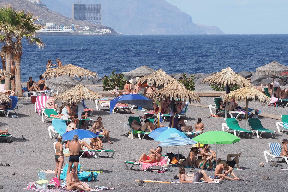
Canary Islands Outlook
Although temperatures in the Canary Islands are expected to rise from Monday, 4 August to Wednesday, 6 August, AEMET does not anticipate that conditions will meet the official heatwave criteria for the archipelago.
Spain is facing one of its most significant heat events of the summer, with prolonged high temperatures, potentially dangerous heat peaks, and minimal overnight cooling. AEMET advises the public to stay informed, take precautionary health measures, and prepare for widespread extreme heat through at least 10 August.