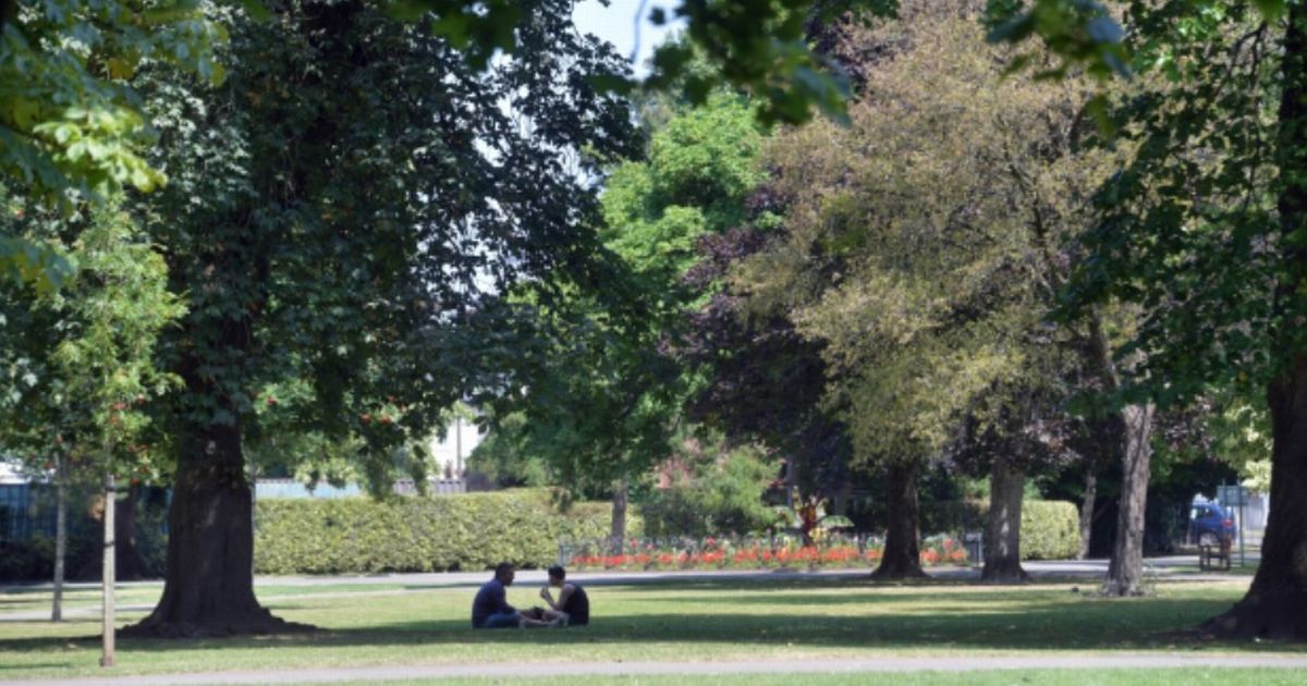
A 30C heatwave will return to England, bringing temperatures higher than 30C for swathes of the North East, Midlands, central England and South West and South East. UK faces new 170-mile heatwave with 21 counties in England set to sizzle
The UK faces a sweltering 170-mile 30C heatwave stretching from Yorkshire to London. A 30C heatwave will return to England, bringing temperatures higher than 30C for swathes of the North East, Midlands, central England and South West and South East.
The areas with temperatures above 30C on Wednesday, August 20, will be Greater London, Kent, Surrey and Berkshire as well as Oxfordshire. Other counties set to be hit include Gloucestershire, Buckinghamshire, Warwickshire, Northamptonshire and Bedfordshire.
Hertfordshire, Essex, Norfolk, Suffolk and Cambridgeshire complete the list alongside Leicestershire, Rutland, Lincolnshire, Nottinghamshire, South Yorkshire and West Yorkshire, according to the maps from WX Charts, which use Met Desk data.
READ MORE State pensioners face working ‘beyond age 70’ because of 2015 rule
Netweather TV’s monthly outlook explains: “There is a continued signal for high pressure to keep ridging across from the Azores towards Scandinavia during this period, so it will probably continue drier and sunnier than average for most, if not all, of the UK, with potential for some very hot weather, most likely during the first half of the week.
“There is potential for some heavy, possibly thundery downpours to develop on occasion but with just localised exceptions, it is forecast to be drier than average, and some areas may have a completely dry week.
“There is a possibility of cooler, more unsettled weather spreading in from the west later in the week, but confidence in this is low, it may not happen until later in August.
“Thus, overall it is again forecast to be warmer, drier and sunnier than average generally, with the greatest positive temperature anomalies again most likely in inland parts of southern and eastern England, possibly up to around 3C above normal, with positive anomalies nearer 1C in north-west Scotland.”
James Madden, from Exacta Weather, said: “From around next weekend and/or Sunday, we will begin to see an even more significant push of high pressure and temperature rises setting up across our shores for a potentially quite lengthy or prolonged period of time (UK & Ireland).
“Additionally, BOTH the stormy weather and the major high pressure and temperature rises now look set to feature in and around our exact dates in August for BOTH from several months ahead of occurrence once again.”
“Unfortunately, the GFS has gone off the boil of late with its projections and, despite being consistently reliable for me with a little bit of legwork for myself over the past several years, I have also taken this into consideration, and its recent errors for this current forecast and the outlook is still very good for all in going forward from here, particularly until later in the month,” he said.