The Met Office issued information about rising tempratures this morning
16:25, 10 Aug 2025Updated 17:03, 10 Aug 2025
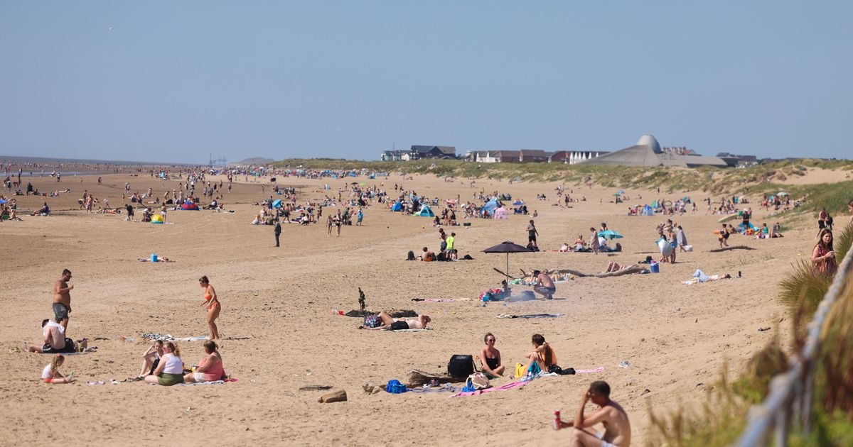
 People enjoying the hot weather on Crosby beach last month(Image: Liverpool Echo)
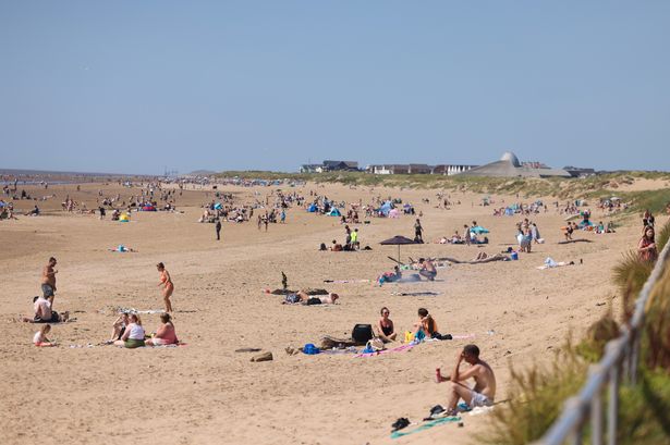
Liverpool is set to experience scorching temperatures next week as a heatwave hits the UK. The Met Office announced this morning that sunny weather is coming, with temperatures reaching in excess of 30°C for some on Monday. Met Office heatwave criteria, where a specific threshold must be exceeded for three consecutive days, are likely to be reached by Wednesday for much of southern and central England.
In addition to high daytime temperatures, warm nights are also likely in south eastern parts of the UK early in the week, with even a chance of a tropical night in a few places, which is where temperatures do not drop below 20°C overnight.
Nevertheless, people in Liverpool will still be feeling the heat. The Met Office forecasts temperatures in the city will climb to 20C by 10am on Monday, August 11, with highs of 28C by the evening. It’s predicted that there will be “sunny intervals changing to partly cloudy by night time”.
Tuesday is set to be even better with a potential high of 33C at around 4pm and lows of 17c in the early and late hours of the day. Wednesday is predicted to have a low of 16C and a high of 26C.
It’s set to remain warm throughout the week, with highs of 23C on Thursday and Friday and 25C on Saturday.
The Met Office’s forecast for the north west reads: “Monday: Cloudy, particularly across the north of the region, brighter elsewhere, with some sunny spells. Feeling increasingly warm and humid. Maximum temperature 25C.
“Outlook for Tuesday to Thursday: Largely dry and very warm with plenty of sunshine Tuesday. Isolated thunderstorms possible overnight before turning somewhat fresher from Wednesday, with a chance of showers at times.”
Commenting on the heatwave, Met Office deputy chief meteorologist Tom Crabtree said: “Warmth is the focus in the forecast in the first half of this week, with temperatures likely to peak on Tuesday around the mid-30s, but remaining above average in the second half of the week, particularly further to the southeast.
“The exception to the widely warm conditions will be northwest Scotland on Monday, where showers will be more frequent. Warmth will develop there from Tuesday with temperatures peaking in the mid to high 20s.”
With temperatures on the rise, there remains a chance of some thundery rain at times in the week. Tom added: “Outbreaks of rain, some of which could be thundery, are possible in southern and western areas for a time on Monday evening spreading north and east through the night, though this will be fairly hit-and-miss and for many the weather will be a dry and warm day.
“While there’s a fair degree of uncertainty at this range, the main signal for more frequent thundery showers arrives from the south late on Wednesday and into Thursday.
“The risk of showers spreads north and west on Thursday, potentially bringing some fairly wet weather to Scotland, north west England and parts of Wales through the day.”
After that interlude of more unsettled weather the most likely scenario is for high pressure to influence the UK’s weather into next weekend, with predominantly dry conditions with variable cloud and sunny spells.
There could however still be some isolated thunderstorms, most likely in the south.