Your support helps us to tell the story
From reproductive rights to climate change to Big Tech, The Independent is on the ground when the story is developing. Whether it’s investigating the financials of Elon Musk’s pro-Trump PAC or producing our latest documentary, ‘The A Word’, which shines a light on the American women fighting for reproductive rights, we know how important it is to parse out the facts from the messaging.
At such a critical moment in US history, we need reporters on the ground. Your donation allows us to keep sending journalists to speak to both sides of the story.
The Independent is trusted by Americans across the entire political spectrum. And unlike many other quality news outlets, we choose not to lock Americans out of our reporting and analysis with paywalls. We believe quality journalism should be available to everyone, paid for by those who can afford it.
Your support makes all the difference.Read more
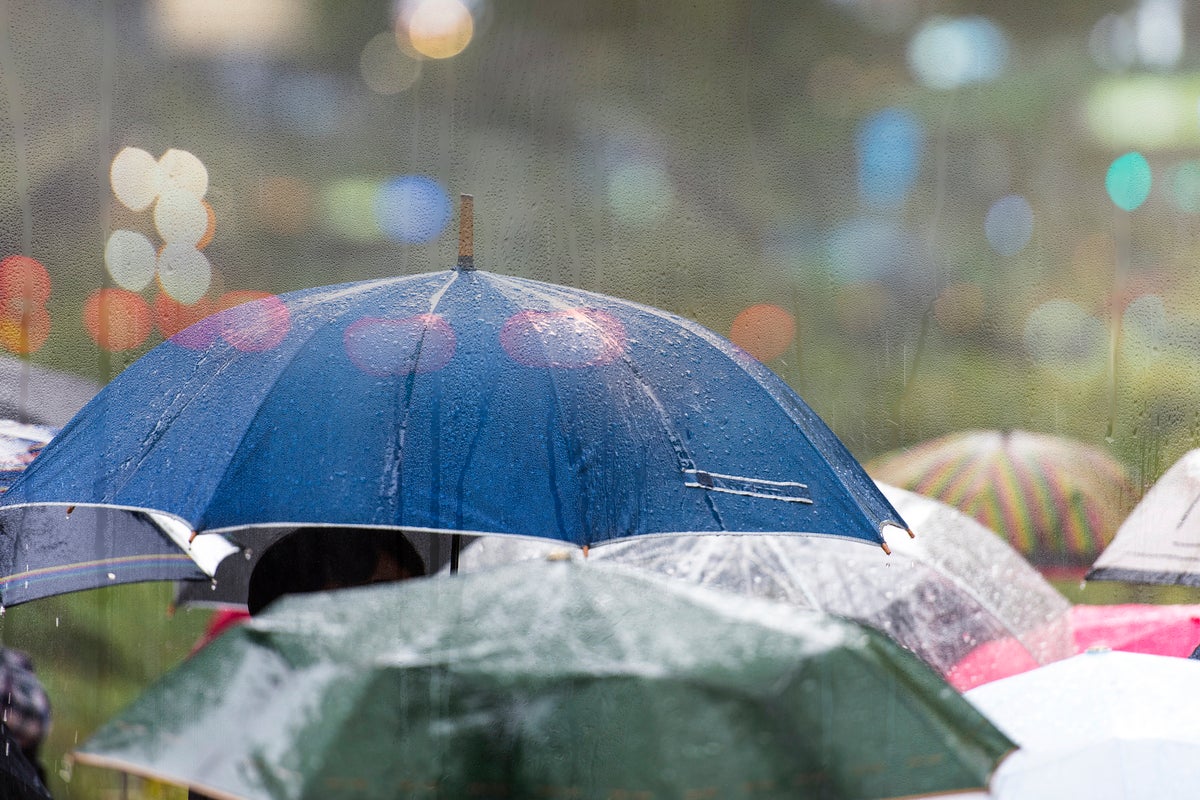
Nationwide rain could bring an end to the UK’s ongoing dry spell in just a few days as Hurricane Erin continues to advance over the Atlantic Ocean.
Upgraded to category four on Monday, the hurricane is threatening to bring severe storms and waves to the Caribbean and the east coast of the US in the coming days.
This atmospheric activity is likely to bring a “changeable” period of weather to the UK in the coming days, the Met Office’s long-term forecast said, especially in the North and West.
Independent forecasters predicted that countrywide rain could begin to hit the country from Wednesday 27 August, with storms stretching as far as 600 miles as most of the nation is hit. At its heaviest this rain could reach around 5mm an hour, but most regions will see between 0.2 and 3mm.

open image in gallery
The UK has experienced back-to-back heatwaves this summer (Reuters)
The Met Office said the chance of widely wetter and windier weather like storms developing is “small”, but admits it is “highly uncertain” at this stage.
The cause of the uncertainty is the area of low pressure that Hurricane Erin will send towards the UK from across the Atlantic. This leads to unsettled weather conditions, while high pressure causes settled and fine weather conditions.
Brits will likely enjoy fine and dry weather owing to high pressure over the bank holiday, which will be “increasingly eroded” by the low pressure from the West in the following days, the Met Office said.
After Hurricane Erin has travelled northwards, past the eastern side of Canada, “it’s likely to push its way across the Atlantic,” said Alex Burkill from the Met Office.
This can “really play havoc with the forecast confidence for what’s going to happen as we go through next week”, he added. Forecasts are likely to become clearer in the coming days.

open image in gallery
A wildfire burns near a highway in Spain last week. European nations across the continent have grappled with high heats this summer (Cesar Manso/AFP via Getty Images)
The UK has seen back-to-back heatwaves this summer, as European nations across the continent also grapple with high heat.
In the coming week, dry weather is set to continue for most of the UK following last week’s high heats. Parts of the country could see temperatures reach 27C on Monday and Tuesday.
A northeasterly breeze means northern and eastern parts of the UK will be cooler on these days, reaching the low 20s.
The continued dry spell comes after officials warned England was suffering from “nationally significant” water shortfalls, despite rain in July.
Sunday’s highest temperature was 27.7C in Somerset, while West Sussex and Inverness in Scotland also reached 27C.