
The UK will sizzle in a 72-hour heatwave on and around May 1 through to May 3 – but a whole host of counties up and down the country are set to miss out on the 22C temperatures
14:50, 20 Apr 2025Updated 14:53, 20 Apr 2025
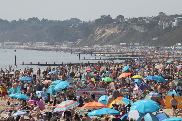
 The UK will sizzle in a 72-hour heatwave on and around May 1 through to May 3 (stock)(Image: PA)
A bunch of counties are gearing up for a scorcher as a UK mini-heatwave is on the horizon – but not everyone’s going to get a piece of the action.
Some spots will dodge the fiery temps set to hit around May 1 to May 3. East Anglia’s prepping to be the toastiest, with the south east also in line for some heat. But the mercury rising to the mid-twenties during this 72-hour hot spell won’t reach every part of the country.
In fact, places like Devon, Dorset, Somerset, Warwickshire, Worcestershire, Herefordshire, Shropshire, Staffordshire, Cheshire, Derbyshire, North Yorkshire, West Yorkshire, East Yorkshire, and South Yorkshire are all set to miss out.
 A fresh Netweather map is throwing out predictions of 22C in the South East (stock)(Image: PA)
Other counties dodging the heat include Durham, Westmorland, Cumberland, Lancashire, Northumberland, Greater Manchester, Merseyside, and Isle of Wight.
A fresh Netweather map is throwing out predictions of 22C in the South East, while most of England could bask in the high teens.
For the immediate future, Easter Sunday is looking peachy up North and in the North West, while the South might have to put up with a few showers. Come Easter Monday, those showers could turn into a full-on downpour across England and Wales, maybe even with a side of thunder, says Netweather TV, reports Birmingham Live.
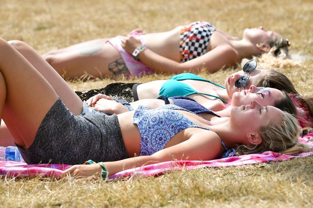
 ‘A largely sunny Easter weekend’ is predicted ‘with some showers or heavy showers in places’ (stock)(Image: James Linsell Clark / SWNS)
James Madden from Exacta Weather says: “A largely sunny Easter weekend with some showers or heavy showers in places, particularly in some southern (southwest) and western areas and Ireland on Good Friday and into the early part of the Bank Holiday weekend..
“The main third-party computer models appear to have backed away from any wintry precipitation or snow potential during late April.”
Weather guru Mr Madden has chimed in, noting: “However, this is something that could still change back to those earlier projections from the current projections over the next 24–96 hours.”
He teased his followers with a hint of suspense in his forecast, saying: “Watch this space for now and further details will follow on this in the coming days and later in the weekend.”
And he warned: “The track of some further low-pressure areas with further heavy rain and unsettled conditions will more than likely continue to barrage across or NEAR our shores and influence our weather for several days after the midweek one has passed through, particularly more so in some parts to the SOUTH and WEST of the country.”
For the latest breaking news and stories from across the globe from the Daily Star, sign up for our newsletters .