While Northern Ireland is set to enjoy a sun-splashed day, forecasters have warned change is on the way by late evening.
Hurricane Erin has sustained winds of up to 160mph as it ripped through the Atlantic Sea, leading to at least nine fatalities in Cape Verde, West Africa.
Now it’s heading towards Northern Ireland.
While the weather event will weaken by the time it nears here, forecasters anticipate it will bring a wet change after the bank holiday heat.
We need your consent to load this Social Media content. We use a number of different Social Media outlets to manage extra content that can set cookies on your device and collect data about your activity.
Please review your details and accept them to load the content
While warm and dry spells will be seen throughout much of the region early on Monday, wind and rain will pick up as the evening approaches.
“At that stage, we start to see cloud thickening and a band of rain starting to move in to the west and most parts by the end of the afternoon,” a Met Office spokesperson explained.
“So the first significant rain for some time is actually on its way.
“Ahead of the rain, though, again, quite a warm day with the southerly wind.
“We’re looking at temperatures up to 22C, 23C, possibly even locally 24C. And if we do get to 24C, that’s the warmest August bank holiday temperature on record.”
August 25 is the earliest date the late summer bank holiday can fall.
The forecaster added: “The bank holiday is quite early this year. And obviously it can vary between now and the end of the month, so it’s a little bit early. But the highest temperature on record for the bank holiday Monday for Northern Ireland is 23.8C. And that was in Londonderry in 1983.”
We need your consent to load this Social Media content. We use a number of different Social Media outlets to manage extra content that can set cookies on your device and collect data about your activity.
Please review your details and accept them to load the content
On Tuesday, remnants of Hurricane Erin will begin to impact Northern Ireland as it comes to a halt near Iceland.
Rainy conditions are expected to persist for most of the day with a high of 20C and low of 13C.
The Met Office spokesperson said: “It’s going to be at times fairly blustery, especially as the showers come through over the next few days. But it’s nothing too unusual.
“The low pressure system is maturing now — so it’s not going to be particularly impactful.
“But the main, significant, noticeable thing will be the fact it’s more unsettled with rain at times.”

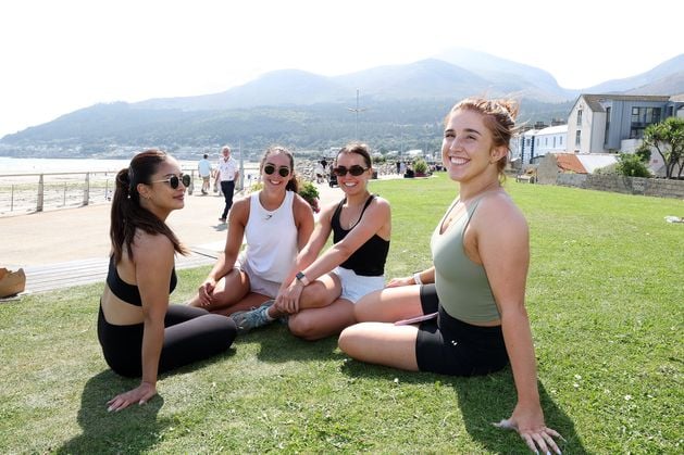
From left: Sandra Pham, Chloe Gordon, Poppy Davis and Taylor Davis, all from Portadown in Newcastle, Co Down, enjoying the warm weather
Blue-green algae arrives back on Lough Neagh
The forecaster explained that showers will continue throughout the rest of the week, with temperatures ranging from between 19C and 12C.
Conditions in the Republic, meanwhile, are forecast to be similar, with drizzle set to begin by tomorrow afternoon in the west.
Bank holiday temperatures elsewhere in the UK are expected to near 30C before the remains of Hurricane Erin hit.
The weather will also turn by Monday evening as showers move in from the west.