The city can expect a sunny and warm dayDan Haygarth Liverpool Daily Post Editor and Regeneration Reporter
20:16, 24 Aug 2025
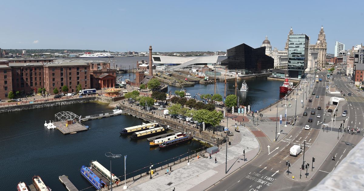
 A sunny day in Liverpool city centre(Image: Liverpool Echo)
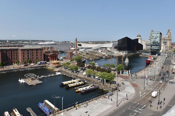
Liverpool will be hotter than Ibiza this bank holiday Monday, with tomorrow’s temperatures predicted to push 30C. Many people will enjoy an extra day off tomorrow, and the weather will play ball after a week that has been cloudy with patches of sun.
According to the latest forecast from the Met Office, temperatures will peak at 29C tomorrow. The forecast reads: “Sunny changing to partly cloudy by night-time.” It means, if the forecast is correct, Liverpool will be hotter than Ibiza.
The party island will see temperatures peak at 28C on Monday, according to the Met Office.
The Met Office’s North West weather forecast states for Monday: “Bank Holiday Monday looks set to be glorious. It will turn breezy, and the odd patch of high cloud will filter across, but it will feel quite hot in the sunshine. Maximum temperature 28C.”
However, it does not look like it will last. The outlook for Tuesday to Thursday for the region is: “A change to more unsettled weather is expected for the rest of the week.
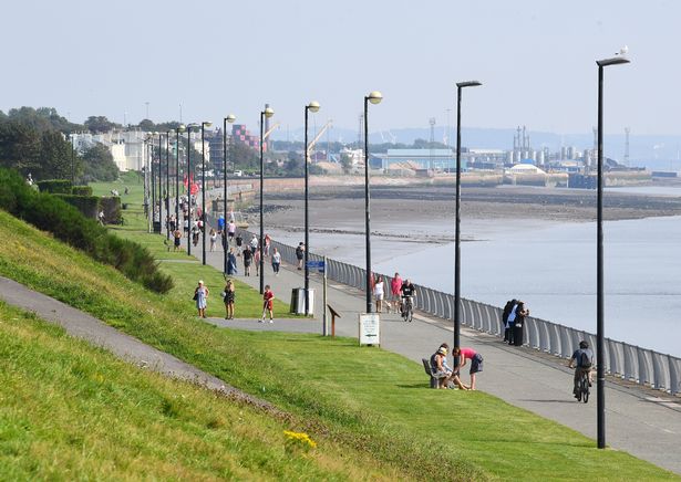 Families enjoying a walk in the sunshine on the Promenade at Otterspool(Image: Andrew Teebay/Liverpool Echo)
“Rain clears to sunshine and showers on Tuesday. Thereafter, often breezy with further rain at times.”
In Liverpool on Tuesday we can expect sunny intervals before light showers arrive by late morning. Temperatures will be cooler, with a high of 22C.
Wednesday will see highs of 21C – a cloudy day with light rain again by late morning. Light showers are expected again on Thursday, with a high of 20C.
Following this week, the Met Office’s long-range weather forecast for the whole country beginning August 29 reads: “Low pressure is expected to largely dominate through this period, bringing bands of rain or showers to most if not all parts from time to time.
“Some heavy rain is possible at times, especially in the west, but this is possibly occurring more widely at times. Periods of windier weather are also likely.
“Confidence in the details remains on the low side, something not untypical at this time of year, largely due to the potential for further systems to develop in the tropical Atlantic, which can have profound knock-on effects on the weather patterns upstream of and over the UK.
“Temperatures should generally be around average, likely with some day-to-day oscillation, depending on sunshine amounts.”
From Monday, September 8, it forecasts: “Most signs indicate low pressure will continue to dominate initially, and therefore unsettled or changeable weather looks more likely.
“This brings potential for periods of strong winds and spells of rain, but with spells of fair weather in between. The south may turn more settled and drier as we head further into September.
“Confidence through this period remains low. Temperatures are likely to be near to, or slightly above average overall.”