Edinburgh residents have been urged to enjoy one more final day of summer as the tail end of Hurricane Erin looks set to bring a 590-mile wall of rain to the UK.
Scotland is set to be roasting on Monday, August 25, thanks to 25C temperatures that will round off a warm weekend, the second last one of August, reports The Scottish Daily Express.
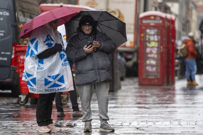
But unfortunately it looks as though heavy rain will roll in from Tuesday. Gusty winds are also predicted to hit the city, as well as Glasgow, Aberdeen and Dundee with the beach weather quickly disappearing for autumn downpours.
READ MORE: I checked out M&S every day for a week to see when it had the best reduced items
READ MORE: Edinburgh van overturns and wall damaged after crash on busy road
Hurricane Erin has caused severe flooding in some parts of the United States when it was at its most powerful, hitting wind speeds of 100mph, but has been greatly reduced while travelling across the Atlantic Ocean. It is helping to draw up warm air, leading to the mini heatwave in Scotland.
Sign up for Edinburgh Live newsletters for more headlines straight to your inbox
However its low pressure system will introduce unsettled weather from Monday evening onwards, with showers and longer spells of rain predicted by forecasters. Meterological summer ends on August 31 and it has been a particularly warm summer for Scots, beating last year’s washout.
New weather maps from WXCharts suggest a huge 590-mile wall of rain will usher in a disruptive end to the month and hit the entire UK. The maps suggest that heavy rainfall and winds of up to 30km/hour will begin to take effect from the early hours of Friday, August 29.
The blanket of extreme weather stretches from Mull in the west of Scotland all the way to Dover on the south English coast, with the worst of the rain expecting in Scotland on 12pm on Friday, with rainfall exceeding 10mm per hour. Temperatures could also drop below 10C across the UK on August 29, with lows of 7C in northern Scotland.
The Met Office’s long range forecast for August 28 to September 6 says: “Low pressure is expected to largely dominate through this period, bringing bands of rain or showers to most if not all parts from time to time. Some heavy rain is possible at times, especially in the west, but this possibly occurring more widely at times. Periods of windier weather are also likely.
“Confidence in the details remains on the low side, something not untypical at this time of year, largely due to the potential for further systems to develop in the tropical Atlantic, which can have profound knock-on effects on the weather patterns upstream of and over the UK. Temperatures should generally be around average, likely with some day to day oscillation, depending on sunshine amounts.”
Join Edinburgh Live’s Whatsapp Community here and get the latest news sentstraight to your messages.