The Met Office has warned of a chance of “hail and thunder” alongside showers over the coming days
14:24, 25 Aug 2025Updated 14:29, 25 Aug 2025
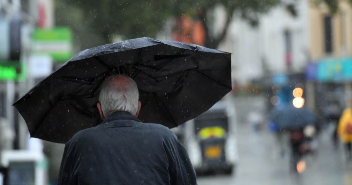
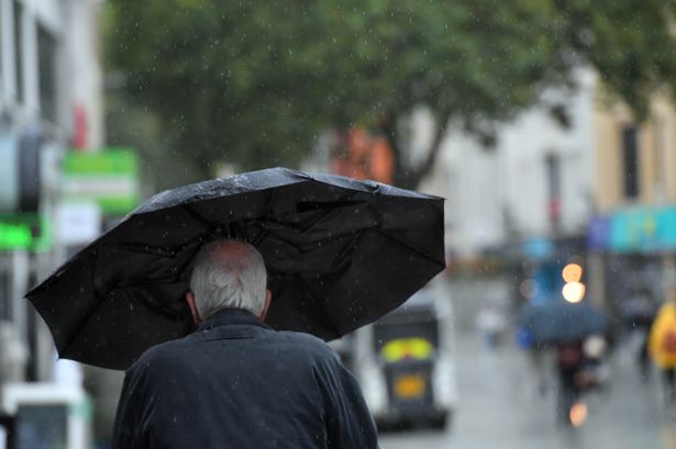 The Met Office has warned that rain, “some heavy”, is set to hit north west England over the coming days(Image: WalesOnline/ Rob Browne)
After a gorgeous sunny August bank holiday, the Met Office has forecast that parts of the UK will be hit with some showers, with the chance of “hail and thunder” over the coming days.
A band of rain has been forecast to hit Greater Manchester early on Tuesday morning (August 26) with 60% chance of precipitation at 4am, rising to 80% by 5am, and dropping down to 30% by 8am.
The Met Office forecast for overnight on Monday in north west England warns of “a band of rain, some heavy”, sweeping across from the west with “breezy” conditions.
From 8am on Tuesday, it is set to be fairly dry across Greater Manchester, with some sunny spells and winds of up to 30mph.
Never miss a story with the MEN’s daily Catch Up newsletter – get it in your inbox by signing up here
On Wednesday (August 27), there is forecast to be some heavy rain across Manchester during the day starting at around 1pm, with more than 95% chance of precipitation, and set to last until around 7pm.
This Met Office weather map shows the band of rain over Greater Manchester during the day on Wednesday.
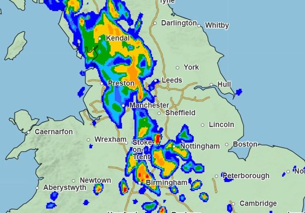 Met Office rainfall map showing Manchester during the day on Wednesday(Image: Met Office)
The Met Office forecast for Wednesday to Friday for north west England reads: “Low pressure will dominate the weather during the middle and end of the week. There will be further showers or longer spells of rain, and it will remain rather breezy.”
In the UK-wide Met Office forecast, they have warned of “heavy showers” alongside the “risk of thunder” on Tuesday, followed by “showers heavy at times, with hail and thunder” between Wednesday and Friday.
Looking ahead at the long-range forecast which covers the time between August 29 and September 7, the Met Office has forecast that low pressure will dominate, meaning cooler conditions and more chance of rain.
It reads: “Low pressure is expected to largely dominate through this period, bringing bands of rain or showers to most if not all parts from time to time.
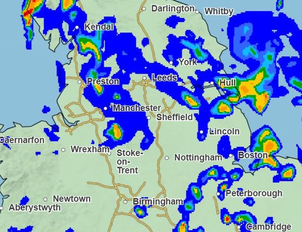 More rain is forecast to hit Greater Manchester later in the week on Friday(Image: Met Office)
“Some heavy rain is possible at times, especially in the west, but this possibly occurring more widely at times. Periods of windier weather are also likely.
“Confidence in the details remains on the low side, something not untypical at this time of year, largely due to the potential for further systems to develop in the tropical Atlantic, which can have profound knock-on effects on the weather patterns upstream of and over the UK.”
Join the Manchester Evening News WhatsApp group HERE
It finishes by saying that temperatures are set to be around average for the time of year.
Looking further ahead at the time between September 8 and 22, more low pressure has been forecast, with some “unsettled” and “changeable” weather.
The Met Office forecast reads: “Most signs indicate low pressure will continue to dominate initially, and therefore unsettled or changeable weather looks more likely.
“This brings potential for periods of strong winds and spells of rain, but with spells of fair weather in between. The south may turn more settled and drier as we head further into September. Confidence through this period remains low. Temperatures are likely to be near to, or slightly above average overall.”