The warning is in place from 2am on Thursday morning
11:41, 03 Sep 2025Updated 11:47, 03 Sep 2025
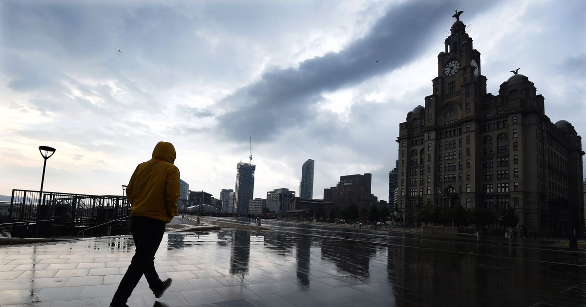
 Storm clouds gathering over Liverpool’s waterfront(Image: Liverpool ECHO)
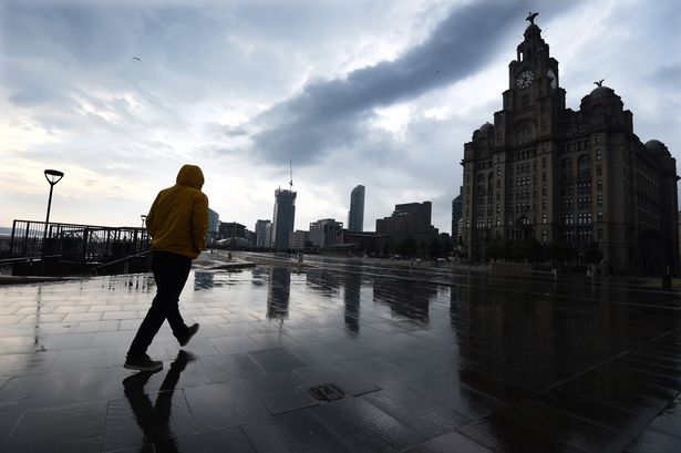
A number of yellow weather warnings are in place across the UK as the weather takes a turn for the worse. Today, areas of south England and Wales have a yellow alert for rain in place, active until 2pm this afternoon. The Met Office says: “Heavy rain may cause travel disruption and flooding in places”.
A second warning for today, September 3, covers more areas of the UK including East Midlands, Wales, West Midlands and Yorkshire. This alert is for thunderstorms and has been active since 11am this morning, it will remain in place until 8pm this evening. The Met Office says: “Thunderstorms associated with scattered heavy showers may cause some impacts during Wednesday.”
Liverpool has also been hit with a yellow weather warning for thunderstorms tomorrow. The warning starts at 2am tomorrow morning, September 4 and will be lifted at 5pm. The Met Office says the 15-hour thunderstorm warning will have an area of “heavy showers” and thunderstorms across the areas impacted.
This includes areas of East Midlands, East of England, North East England, South West England, West Midlands and Wales.
The weather agency says you should expect “spray and sudden flooding” which could lead to difficult driving conditions and some road closures. Where flooding or lightning strikes occur, there is a chance of delays and some cancellations to train and bus services.
There is also a chance that power cuts could happen and services to some homes and businesses could be lost. Another warning says: “There is a small chance that homes and businesses could be flooded quickly, with damage to some buildings from floodwater, lightning strikes, hail or strong winds.”
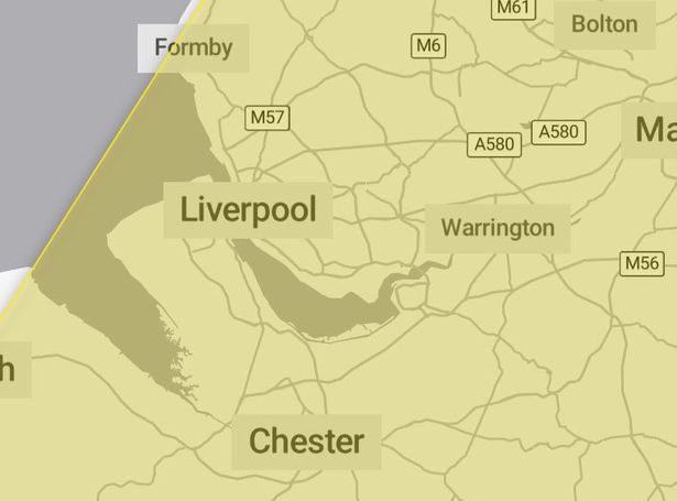 A yellow weather warning for thunderstorms has been issued for Liverpool tomorrow, September 4 (Image: Met Office)
Further detail shared by the Met Office says: “Bands of heavy showers and thunderstorms are expected to move northeast across parts of England and Wales on Thursday. As showers progress north eastward they will become temporarily slow moving, leading to an increased chance of surface water flooding.
“Whilst the vast majority of places will have either non-impactful rain or remain dry, a few places within this area could see 30-60mm in an hour. Hail and lightning will be additional, possibly locally impactful, hazards.”
You should always be prepared for weather warnings to change quickly. When a weather warning is issued, the Met Office recommends staying up to date with the weather forecast in your area.
Tomorrow, Thursday, September 4, the forecast for Liverpool is a high of 18C and a low of 12C. The Met Office says it will be “largely dry to start, then another day of sunshine and scattered showers”. Some of these showers will be heavy at times with the odd rumble of thunder.
The outlook for Friday to Sunday says: “More settled on Friday and Saturday with a few light showers, but mainly dry and bright. Turning unsettled again on Sunday with outbreaks of rain and stronger winds.”
The change in weather comes as the Met Office confirmed the summer of 2025 was the UK’s warmest on record. The mean average temperature across June, July and August was a provisional 16.10C, beating the previous seasonal high of 15.76C set in 2018.
Four heatwaves hit the UK this summer, all of which saw temperatures climb above 30C, though none was quite as fierce as the heatwave of July 2022 when an all-time high of 40.3C was reached.