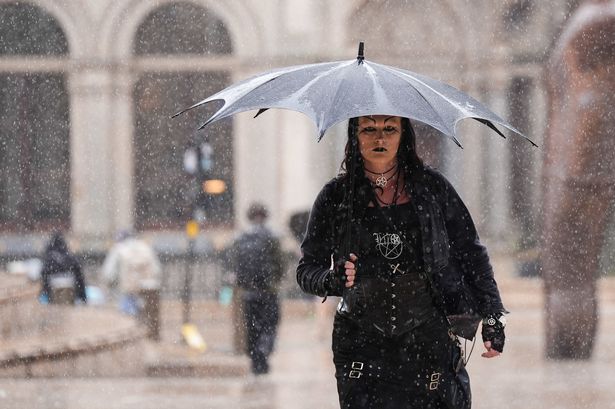
Birmingham, Essex, Kent, London, Manchester, Newcastle and Southampton were all in the firing line A rainy Victoria Square in Birmingham(Image: Jacob King/PA Wire)
The UK looks set to be soaked by a huge rainstorm next week – and no region will be spared.
Weather model maps from GFS say the wet weather will hit on Saturday, September 13.
It will drench areas from the South East of England to the far north of Scotland – spanning roughly 600 miles.
Birmingham, Essex, Kent, London, Manchester, Newcastle and Southampton were all in the firing line.
READ MORE: Man found ‘hiding under ex’s bedding’ after being ‘banned’ from seeing her
Up in Scotland, Inverness and Aberdeen were among the city braced for steady downpours, the Mirror reports.
Belfast and surrounding areas in Northern Ireland were also set to get a soaking.
Rainfall will be heaviest across parts of southern and eastern England, according to the maps.
It’s predicted between three and five millimetres will fall per hour.
The Met Office has already said low pressure systems would dominate the second week of September, bringing showers, longer spells of rain, and the potential for thunderstorms, hail and strong winds.
The long-range forecast from September 9 to 18, read: “Much of this period will be unsettled, with low pressure likely to dominate the overall pattern.
“This will mean showers or longer spells of rain will affect much of the UK at times.
“Some heavy rain or showers are expected in places, most often in the west and north.
“Thunderstorms and hail are also possible, as are some spells of strong winds, especially if any deep areas of low pressure develop and affect the UK.
“Later in the period, there may be some longer spells of drier weather that develop, especially towards the south, with more in the way of sunshine due to higher pressure here.
“Temperatures will likely be close to average or slightly below overall, but may rise above at times in any drier, sunnier spells.”
