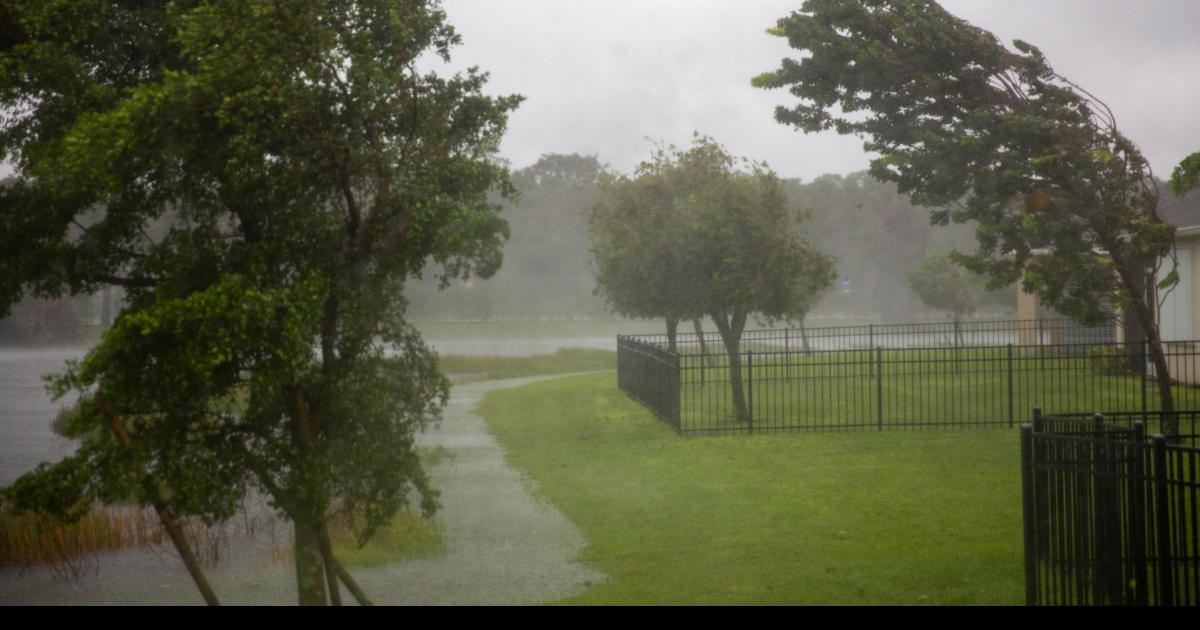
A yellow warning for wind has been issued from 8pm on Sunday (September 14) until 8pm on Monday (September 15).
Most of England and Wales will feel 45 to 55mph gusts, and exposed locations could see these reach 70mph, the Met Office.
However, the weather is not expected to become a named storm.
Met Office spokesman Graham Madge said on Friday morning: “There is no intention to name it, as of now.
“Obviously, we are in meteorological autumn now, it’s the sort of weather that we do expect at this time of year.
“So it’s nothing unusual, particularly – perhaps it’s just the contrast with the weather that we have enjoyed over most of the summer.”
The warning predicts transport delays and that large waves will affect coastal areas, with short-term power cuts possible.
Sunny spells and scattered showers – some blustery and thundery – are expected to move across the UK on Saturday, before the west and south-westerly winds hit.
The winds will start to ease from the west on Monday afternoon, and Tuesday should see a lull to the disruptive weather.
However, another system is developing which could bring severe gales to exposed coastal locations on Wednesday, Mr Madge said.