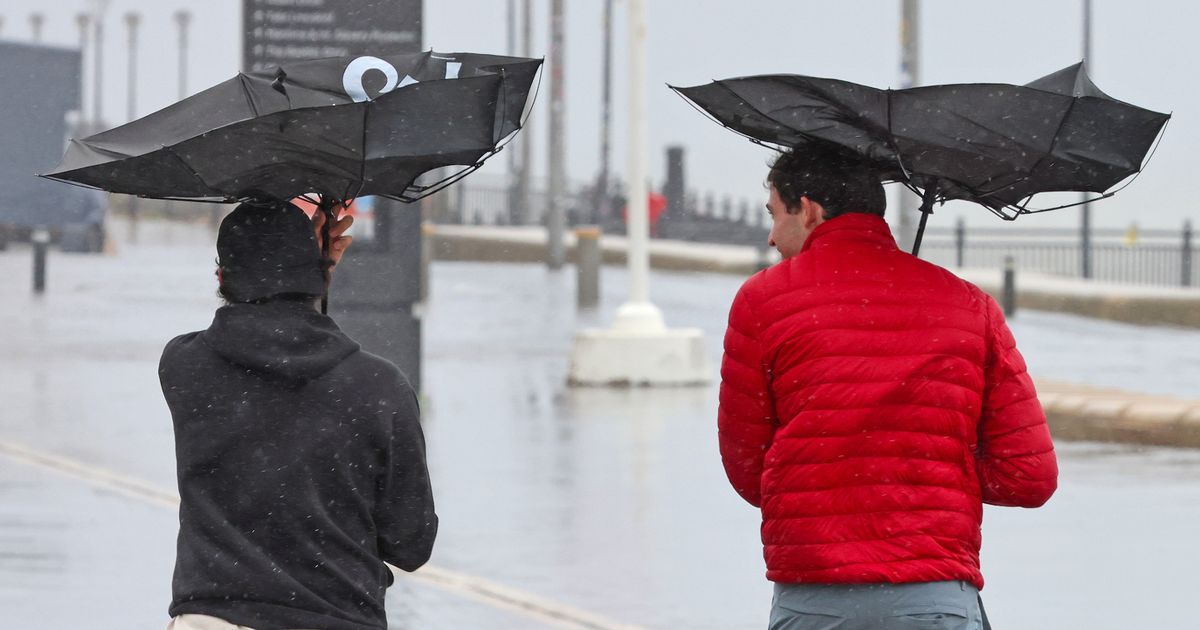
Gale force winds are set to batter Merseyside this weekend The Met Office has issued a warning ahead of the windy weather(Image: Colin Lane/Liverpool Echo)
Heavy showers are set to hit Liverpool tonight ahead of a Met Office weather alert. A yellow warning for wind will be in place from 8pm tomorrow night.
It comes after the Met Office has confirmed that the first name to be used for a storm in the 2025/2026 season will be Amy. However, it has not officially assigned the name ‘Storm Amy’ due to the wet and windy weather expected this weekend. The meteorological body has instead issued a yellow warning for wind, with the worst conditions expected to hit the north of England.
It is forecast that “strong and gusty winds are likely to cause some disruption to travel and interruptions to power”. Strong west or southwesterly winds will arrive across coastal areas of England and Wales during Sunday evening, then develop more widely inland during Monday morning.
Gusts of 45-55 mph are expected widely inland, with gusts of 60-70 mph possible at times along exposed coasts and hills. Winds will only slowly ease from the west later in the afternoon and into Monday evening.
The wet weather is expected to start in Liverpool tonight, so it’s best to be prepared if you’re heading out. Here is the hour-by-hour forecast for today:
2pm – sunny intervals
3pm – light showers
4pm – heavy showers
5pm – light showers
6pm – light showers
7pm – heavy showers
8pm – heavy showers
9pm – heavy showers
10pm – heavy showers
11pm – heavy showers
Tomorrow morning will start sunny before cloudy conditions at 10am. The heavy rain is forecast to start at around 1pm and last until 5pm.
The official forecast for tomorrow reads: “A bright and dry start, but turning cloudier through the afternoon as a band of prolonged rain, with heavy downpours, pushes north eastwards. Blustery showers follow later. Gale force winds are likely. Maximum temperature 17C.”
Earlier this week, Paul Gundersen, chief meteorologist at the Met Office, said: “We have been monitoring a deepening area of low-pressure over the North Atlantic that might bring impactful weather to the UK, most likely on Sunday and Monday.
“At present, a named storm is unlikely.”
Deputy chief meteorologist Tom Crabtree added: “We are keeping an eye on a deepening area of low-pressure which will develop over the North Atlantic during the coming days and might bring impactful weather to the UK, most likely on Sunday and Monday.
“At present, it’s too early to say the precise impact this might have on the weather, but it’s likely to bring widespread heavy rain and strong winds, most probably to the north of the UK.
“We are closely monitoring what the various computer models are suggesting and will keep people updated as our forecasts evolve over the next few days.”