
Counties in England are set to be roasted with 25C highs across the country in and around September 25, according to WX Charts.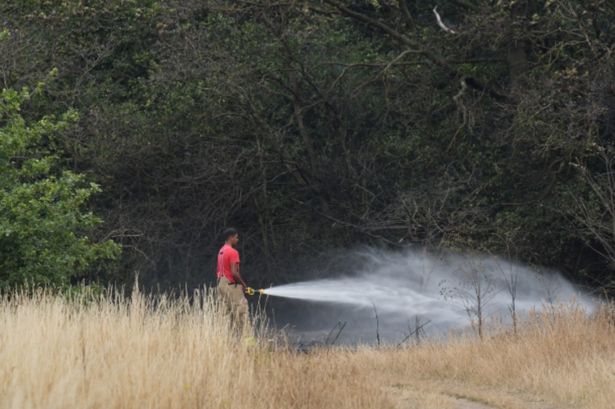 Counties in England are set to be roasted with 25C highs across the country in and around September 25, according to WX Charts.
All the parts of England set to miss out on the final mini-heatwave of the year have been revealed. Counties in England are set to be roasted with 25C highs across the country in and around September 25, according to WX Charts.
Met Desk data shows the country could bask in hot weather in the south, south east and capital city London. But those areas spared include Somerset, Devon, Cornwall, Sussex, Gloucestershire, Wiltshire, Berkshire, Oxfordshire, Warwickshire and Northants.
West Midlands conurbation, Shropshire, Staffordshire, Worcestershire, Herefordshire, Rutland, Leicestershire, Derbyshire, Nottinghamshire, Lincolnshire, Yorkshire, Durham, Cumbria, Northumberland, Greater Manchester, Cheshire and Lancashire will also miss out.
READ MORE UK households told ‘switch lights off’ with epidemic spreading across England
In the short term, a BBC Weather forecast adds: “Breezy on Thursday, windy in the north-west. Northern parts will be partly cloudy with sunny spells more likely in the east and rain in the west.
“In the south, rain is expected in Wales and the south-west while sunny spells are more likely in the east. Partly cloudy on Friday with rain spreading to western and some northern areas. Unsettled on Saturday with rain pushing north.”
Looking ahead, the Beeb says Monday 29 September to Sunday 12 October will bring with it “wetter chances later but very uncertain”.
It says: “High pressure is expected to stick around for a while from the end of September into the first week of October, so similar weather should ensue. Much of the UK should have rather dry conditions enduring, although occasional fronts could brush past and bring a couple of bouts rain here and there. Precipitation amounts should be below or near average overall.
Heading towards mid-October, there are some hints that high pressure could decline, with a trend towards wetter conditions possible. Temperatures are most likely to fluctuate around seasonal values or a little above.
“However, much will depend on exactly where this possible high pressure development sets up.
“The outlook is complicated by the possibility of the remnants of tropical cyclones, including ex-hurricanes, crossing the North Atlantic.
“These have the potential to disturb weather patterns downstream across Europe, or impact rainfall amounts and wind strengths should any directly target the UK.
“However, the Atlantic will have to start getting more active after a lengthy quiet period.”