Wednesday, 17 September 2025, 09:56
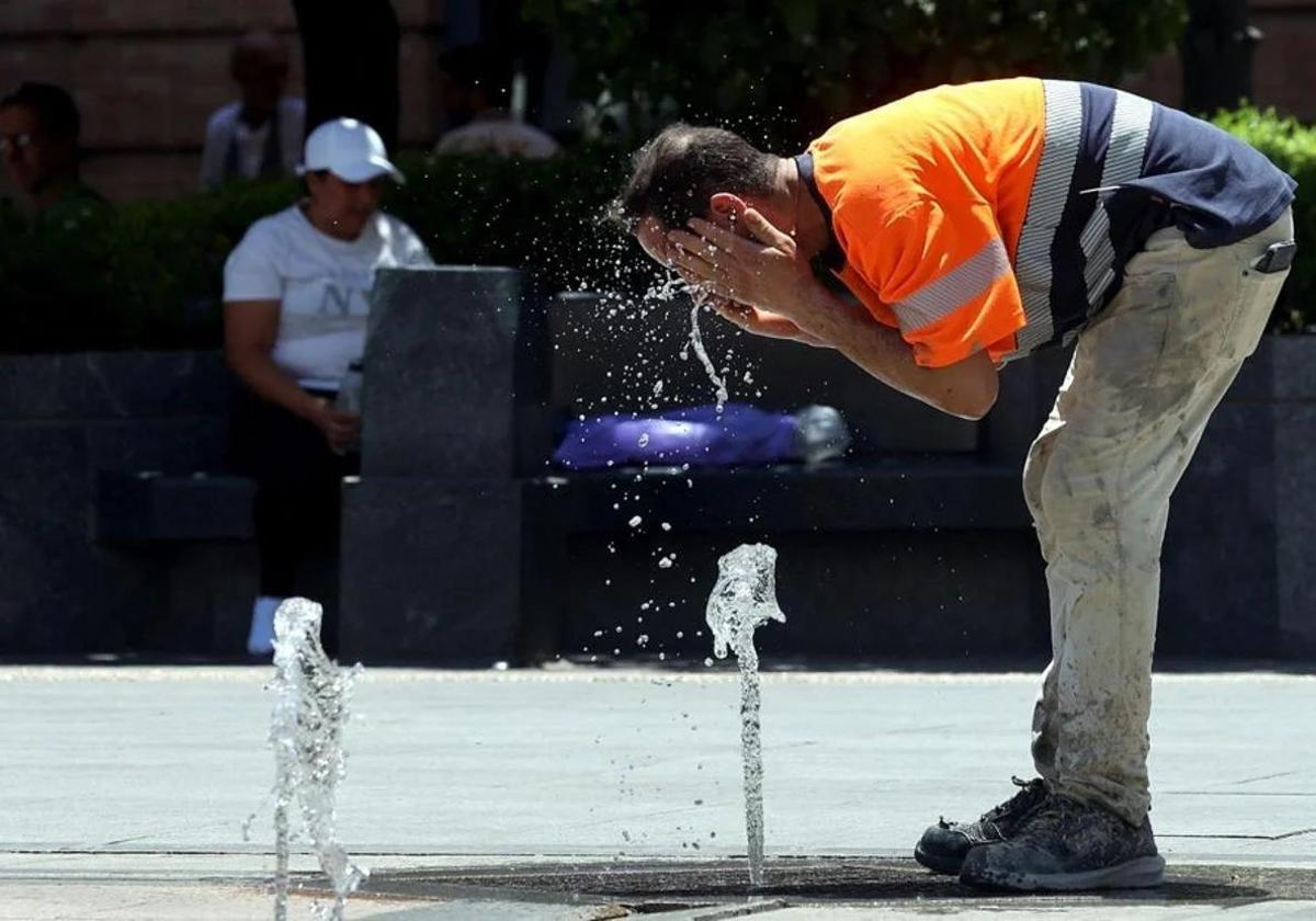
The summer in Spain is on its last legs, although the thermometers seem to indicate the opposite: the heat is still pressing and, as a result, yellow warnings for high temperatures that will be close to 40C in Andalucía have been activated . In fact, the state meteorological agency (Aemet) has issued alerts for maximum temperatures of up to 38 and 39C in the region on Wednesday 17 and Thursday 18 September.

According to the Aemet forecast consulted by SUR, the heat warnings will affect three provinces in particular until Thursday, from between 1pm and 8pm: Jaén, Granada and Seville where maximum temperatures of up to 38C are expected this Wednesday and up to 39C on Thursday. Specifically, the areas affected by the warnings are the countryside areas of Seville and Cordoba and, in Jaén, the Guadalquivir Valley and Morena and Condado. According to the forecast, temperatures will be “significantly high in the Guadalquivir valley”.
Meanwhile, over the next few hours, light cloudy or clear skies are expected, as well as light variable winds and moderate easterly winds on the eastern Mediterranean coast and in the area of the Strait of Gibraltar, with strong intervals and occasionally very strong gusts, according to Aemet.
‘Calima’ and high temperatures
The national forecast includes high temperatures and ‘calima’ sand dust haze with “significant concentrations” in the Canary Islands for this Wednesday. Also “significantly high” maximum temperatures in the southwest of the Spanish mainland and locally notable rises in the eastern Cantabrian and upper Ebro. “They are expected to exceed 35C in the Canary Islands and the southern Atlantic slope, even 38-40C in its depressions. The forecast for this Wednesday highlights that ” a temperature of 35 degrees is not ruled out in the Ebro, the northern plateau, the Miño or the Levante coast areas”.
Looking ahead to Thursday, a generally stable situation is forecast for the country, with a predominance of partly cloudy or clear skies. “There will only be low cloudiness in the morning in the northern and eastern regions of the Spanish mainland, the Balearic Islands, the Strait of Gibraltar and Alborán sea areas, with probable morning fog banks and coastal mist in the Alborán, Rías Bajas and Ampurdán areas, with a tendency to clear. On the other hand, a subtropical air mass will affect the south of the mainland and the Canary Islands with medium and high clouds and probable storms in the islands of greater relief”, the forecast highlights. During the day on Thursday there will continue to be a ‘calima’ haze of Sahara desert dust in the Canary Islands, with possible significant concentrations. It is also forecast that “maximum temperatures will rise on the Spanish mainland, more marked, even locally notable, in the Cantabrian Sea, and with some decreases in the Levante”.
Finally, Aemet highlights that moderate easterly winds will blow on the southeast coast of the peninsula and the Strait of Gibraltar, “where strong intervals are likely, and light to moderate in the Canary Islands”. Light winds in general in the rest.