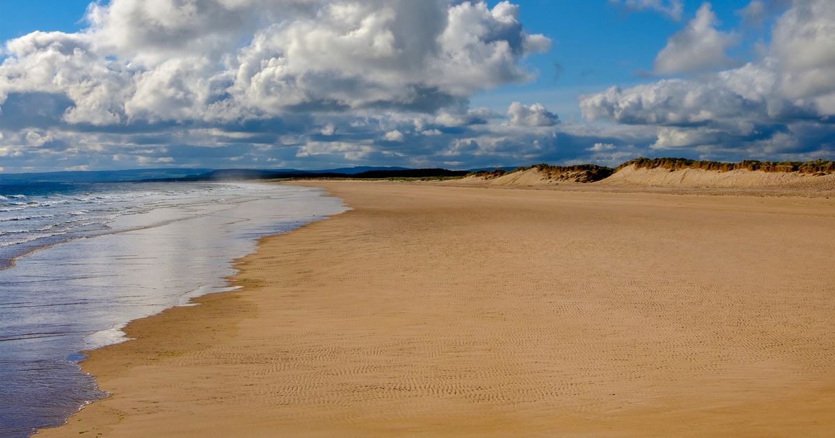
The mercury is expected to rise in the next week.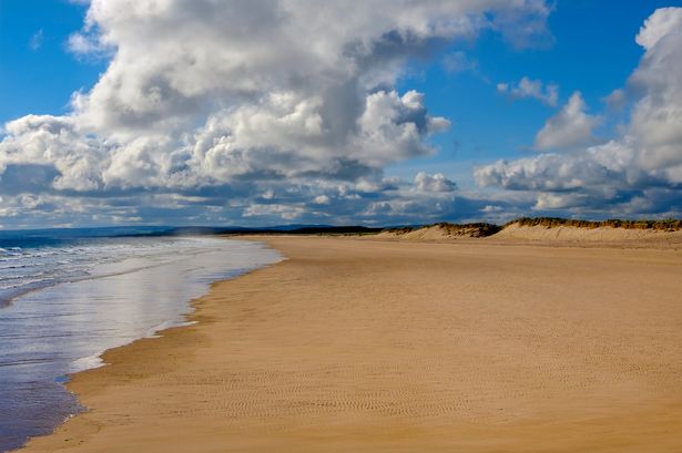 Weather maps have predicted mild conditions to sweep across the country before the end of September.(Image: Getty Images/iStockphoto)
Temperatures are expected to rise across the UK in the coming days, reaching as high as 15C in some parts of Scotland.
Weather maps suggest that areas around Edinburgh, Glasgow, Aberdeen, Perth and Dundee will see double-digit temperatures, potentially reaching 14C to 15C.
However, the far north is expected to see more cloud and rain at the start of the week.
The mercury could shoot up to 22C in other parts of the country, the Mirror reports. Charts from Netweather.tv indicate a period of mild weather sweeping across the UK before the end of September.
Regions around Norwich, Peterborough, Cambridge and Norfolk will get the best of the warm weather, with highs of 21C expected in London, Northampton, Oxford and Reading. Bristol, Bath and Stratford-upon-Avon are also expected to see temperatures of between 19C and 20C.
The unexpected turnaround in conditions comes just days after the Met Office issued a yellow warning for rain and wind across Wales and some areas of England this weekend.
 Join the Daily Record WhatsApp community!
Get the latest news sent straight to your messages by joining our WhatsApp community today.
You’ll receive daily updates on breaking news as well as the top headlines across Scotland.
No one will be able to see who is signed up and no one can send messages except the Daily Record team.
All you have to do is click here if you’re on mobile, select ‘Join Community’ and you’re in!
If you’re on a desktop, simply scan the QR code above with your phone and click ‘Join Community’.
We also treat our community members to special offers, promotions, and adverts from us and our partners. If you don’t like our community, you can check out any time you like.
To leave our community click on the name at the top of your screen and choose ‘exit group’.
If you’re curious, you can read our Privacy Notice.
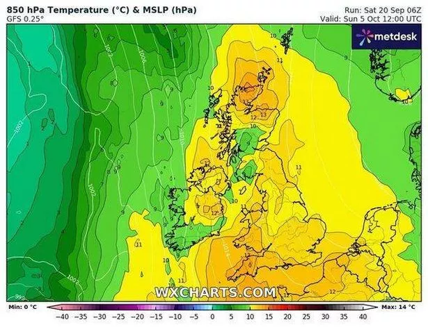 (Image: WXcharts)
Matthew Lehnert, Met Office Chief Meteorologist, said: “Through this period, 20-30mm of rain is expected to fall widely across Wales and northern England, with some locations perhaps seeing 60-80mm. Where these higher rainfall amounts fall remains uncertain and it is possible that this warning may be updated if confidence increases, particularly if the heaviest rain falls in urban areas.”
The Met Office has predicted that settled conditions will prevail across the country as next week begins. The majority of areas are set to be drier, although the far north of Scotland could see more cloud and rainy conditions on Monday, and showers may continue in south-east Kent until mid-week, it said.
Its long-range forecast from September 24 to October 3 states: “High pressure will dominate across many parts of the UK at first, leading to widely settled conditions and some patchy frost and fog at night. The main exception initially will be in East Anglia and southeast England, where showers will be possible, accompanied by a brisk breeze at times.
“These may ease later in the week, as low pressure over the North Atlantic attempts to push some cloud and patchy rain towards western and northwestern parts of the UK. Temperatures should gradually return closer to average. By early October, confidence in the overall weather patterns affecting the UK is very low, and whilst it may turn more changeable, the wettest conditions are most likely towards the west and northwest.”