Saturday, 27 September 2025, 20:50
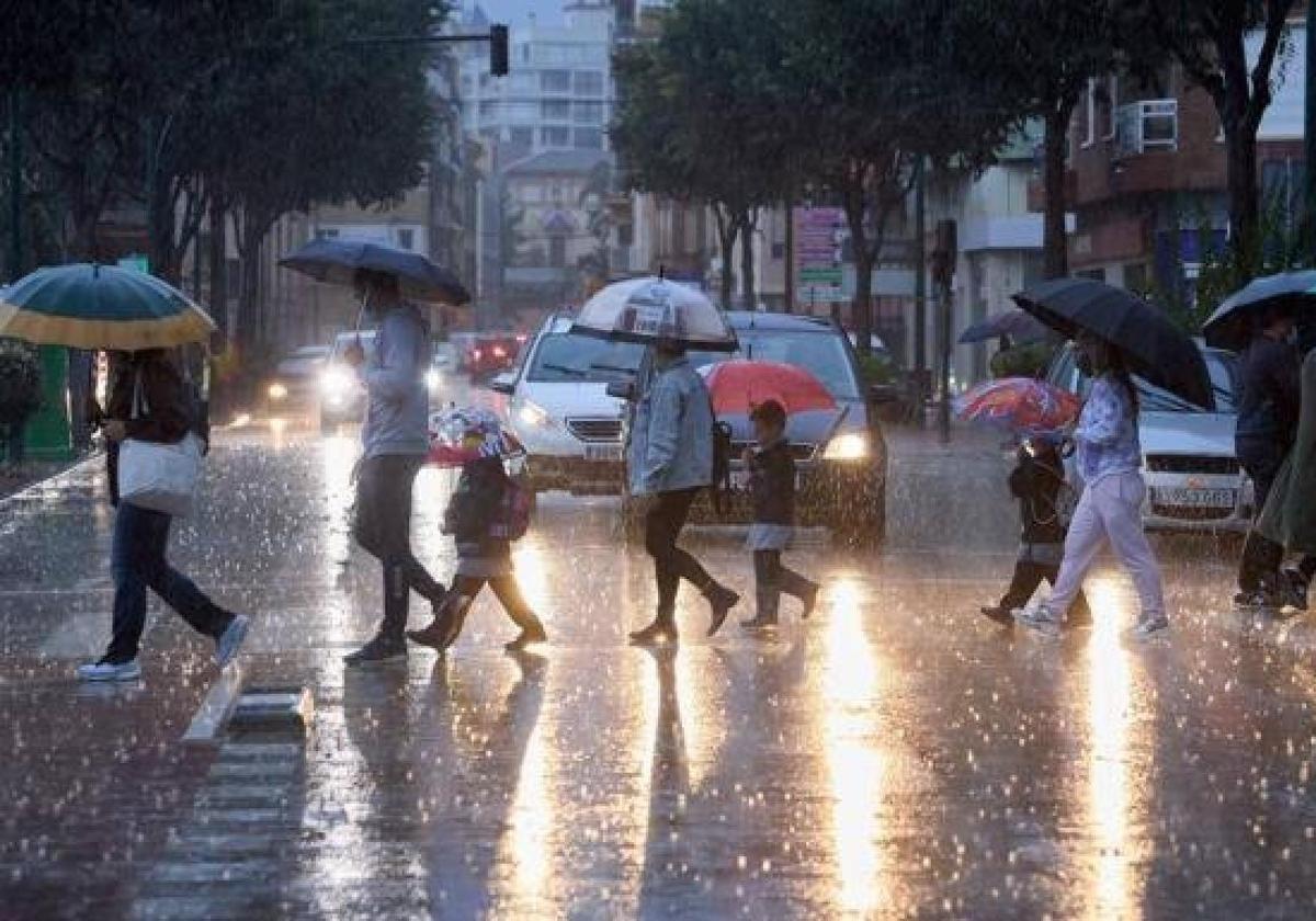
Spain’s state meteorological agency (Aemet) has issued a special weather warning for “very heavy and persistent rains” that will affect the southern and eastern thirds of the mainland in the coming hours as a result of the storm from the former hurricane Gabrielle that will penetrate from the west to many parts of the country.
Aemet puts special focus on the Mediterranean slope where low pressure and subtropical humidity could lead to very heavy and persistent rains in the coming days.
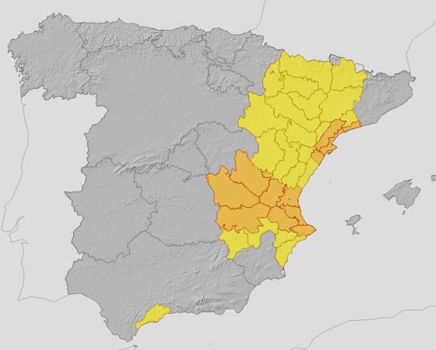
Areas of Spain under yellow and amber weather alerts from midnight Sunday through Monday 29 September.
Aemet
“The downpours may result in local flash and sudden flooding in low-lying areas, streams and wadis, so the potential danger level of this situation is high,” Aemet warned in its statement.
Higher risk in the Valencia region
Aemet warned that the last days of September will be the most complicated in terms of the weather. It is estimated that locally heavy or very heavy and persistent thunderstorms will occur along the eastern third of the Spanish mainland, the Costa del Sol and around the Strait of Gibraltar.
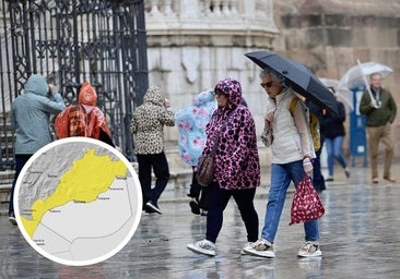
However, the highest intensities and accumulations are expected in the south of the Valencian region, and especially in the province of Valencia, between Monday and the first half of Tuesday, when they could exceed 200-250mm with torrential intensities.
With the arrival of the stormSpain, the first precipitation will arrive this Saturday in Galicia and intervals of strong wind in areas of the southeast. From the early hours of the last Sunday of September, rainfall will move from the west to the centre and east of the mainland.
The state agency warned that in the west of Andalucía and Extremadura there could be heavy showers and in parts of Aragon, the southern plateau, Catalonia and Valencia, even in the form of hail.
Finally, Aemet stressed the “high uncertainty in the path of the storm”, so it is recommended to closely follow the updates of the forecasts and warnings over the next few hours.