A local town council said they did not support the applications on the basis of them being a precursor to a wind farm development
16:12, 07 Oct 2025Updated 16:12, 07 Oct 2025
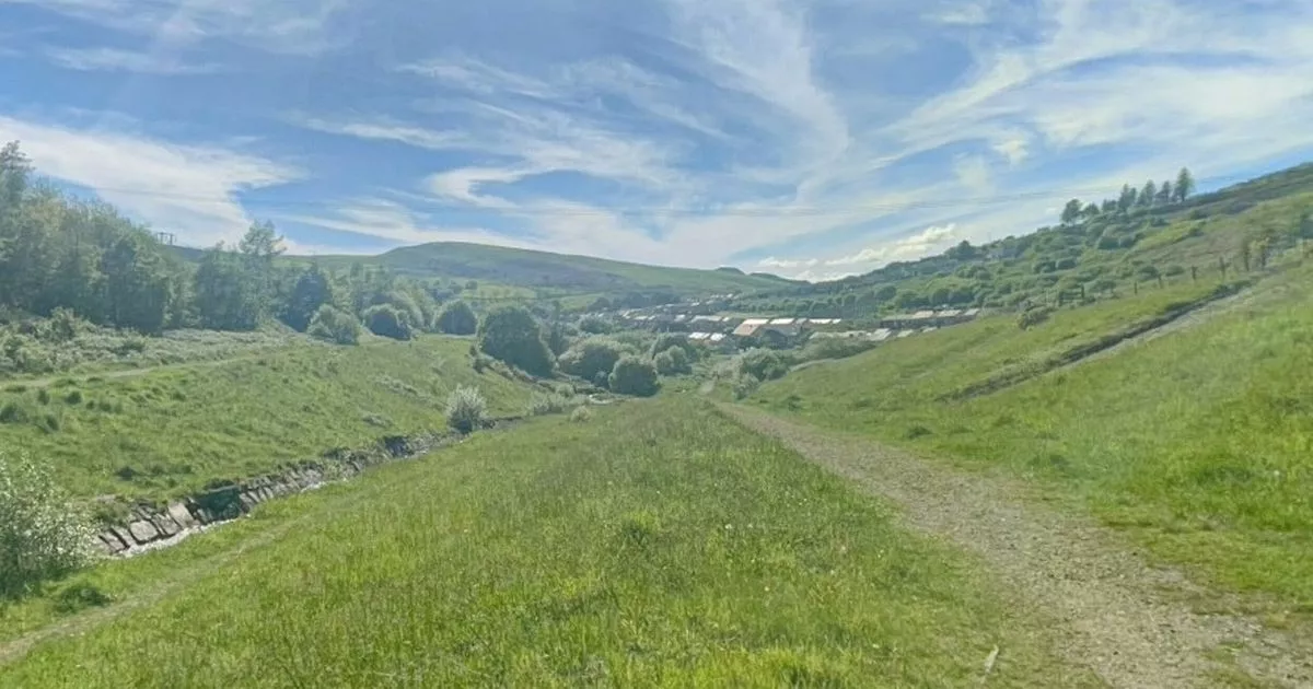
 Views from the Llynfi Valley (Image: Google Maps)
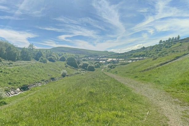
Plans to erect two 90m-high anemometer masts that will be used to gather wind data in Bridgend County have been given the go-ahead by the local council.
The separate applications were discussed at a council planning committee on October 2, 2025, where members heard how the masts would be installed on land in the Llynfi Valley, close to the town of Maesteg.
The proposals were handed in by applicants at Pennant Walters Ltd with one set to be located east of Maesteg on agricultural land below Moel Cynhordy and another below Mynydd Pwll yr Lwrch east of Nantyffyllon.
Plans say installations would take approximately one or two days with the masts then operating for a temporary period of up to three years before being removed.
The report added that these would “gather accurate wind resource data such as direction and speed to support the environmental impact assessment, turbine procurement process and inform output figures, as part of a wind farm development process”.
The two sites would feature a “triangular lattice mast” supported by guy wires extending out from the mast approximately 50m in each direction with a standard post and wire fence constructed around it.
A representative speaking on behalf of the applicant said the mast’s physical footprint would be minimal with the sites set to be fully restored after the three-year period.
They added there would be no activity planned at the masts once they were installed other than for maintenance.
However residents raised objections with concerns around visual impact, disturbance to the ecology of the area, and concerns over structural stability during adverse weather conditions.
Additionally members of Maesteg Town Council said they did not support the applications on the basis of it being a precursor to another wind farm development – though officers noted they could only deal with the application that was in front of them.
Speaking at the meeting Cllr Martin Hughes also raised a historical aspect to the application at the Cynhordy site which he said was the location of a world War Two plane crash.
Officers said while they would not need to consult with the Ministry of Defence over it they would add a condition so that contractors “take care” when excavating the site and report back if there were any related discoveries.
They recommended both applications they felt represented an appropriate form of development for the area which wouldn’t have an unacceptable impact on visual amenity, biodiversity, or highway safety.
The two sets of plans were later given the go-ahead unanimously by members in attendance.
Get daily breaking news updates on your phone by joining our WhatsApp community here. We occasionally treat members to special offers, promotions and ads from us and our partners. See our Privacy Notice.