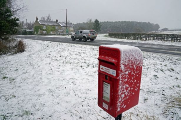
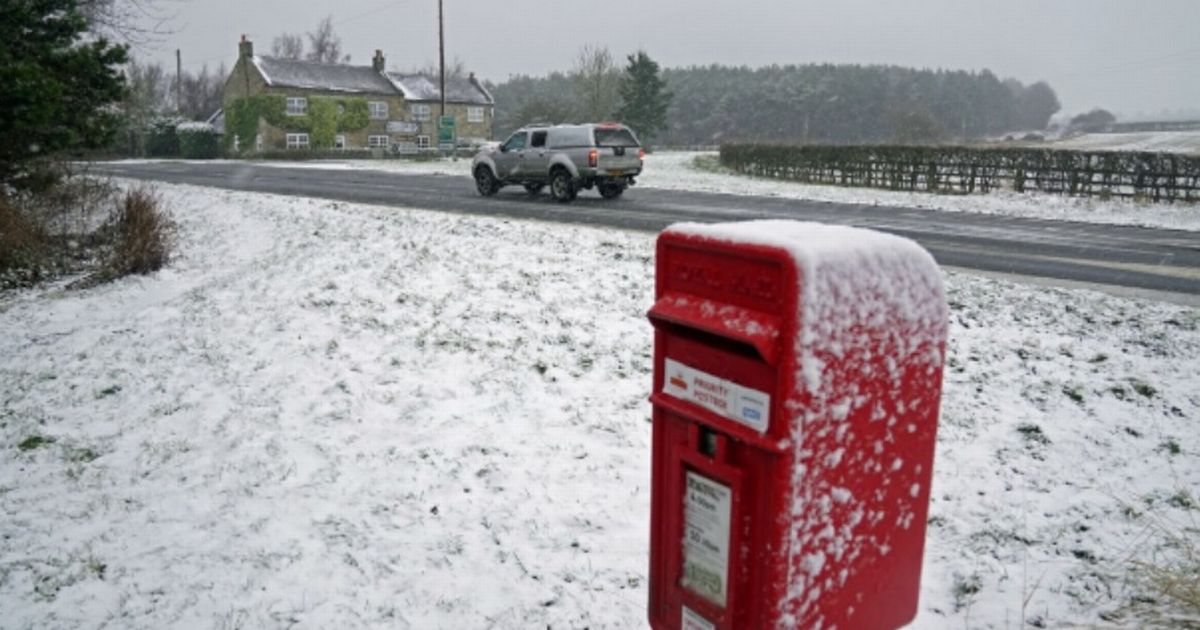
New weather maps from WX Charts show a smattering of snowfall is likely in and around October 23 and October 24. All the parts of England facing first snow of autumn before end of October
All the parts of England most at risk from snow in October as flurries move south from Scotland to England have been revealed. New weather maps from WX Charts show a smattering of snowfall is likely in and around October 23 and October 24.
Greater Manchester and Yorkshire are most at lisk, alongside Lancashire, according to the maps. Maps generated this week by the forecaster, which are mirrored by rival forecaster Ventusky, show widespread low temperatures too.
On October 22, by midday, temperatures could still be as low as -1C across much of Scotland. England will chill in temperatures hovering just above freezing, too.
READ MORE Mortgage warning for UK households as they risk being ‘squeezed’
Looking at mid-October, the BBC Weather team says Monday 13 October to Sunday 19 October will be “mainly dry”, adding: ” Next week, high pressure should reassert itself but could take up a position further north.
“The first half of the week should therefore be quite settled, with mostly dry weather but continuing risks of fog patches and frost.
“There is still no notably cold weather on the cards, though, with near seasonal daytime temperatures most likely, except where any fog lingers.
“Something to watch out for could be a few scattered showers in the North Sea pushing across coastal areas but that will depend on the exact alignment of the high pressure.
“Tropical Storm Jerry has developed in the central Atlantic, which introduces some uncertainty. It should turn north then north-eastwards across the ocean as it strengthens into a hurricane, but this could just serve to support the expected high pressure downstream over north-west Europe.
“There are signs that high pressure could shift towards north-east Europe and Scandinavia after midweek, which could introduce some easterly winds.
“These would pick up moisture from the North Sea, so there could be an increasing chance of patchy drizzle or light rain moving into at least eastern areas, mainly of England, but potentially farther inland as well.
“Otherwise, it should stay largely dry. Southern regions, especially the south of England, could still see breezier conditions setting in, and the far south in particular could feel a bit chillier.”
