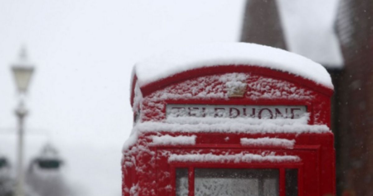
The UK could be hit by four inches of snow in and around October 21, with 10cm accumulations and snow depths likely. UK snow set to be ‘heavier than expected’ with 4 inches being dumped
The UK snow is expected to be heavier than anticipated – with four inches likely. The UK could be hit by four inches of snow in and around October 21, with 10cm accumulations and snow depths likely.
Snow could drop to freezing – potentially a couple of degrees over 0C – in Scotland, with snow likely to fall in the Scottish Highlands from 6am until 12pm.
The snow will arrive as early as 6am with maps showing heavy flurries across the Scottish Highlands. Edinburgh could be hit, too, as the flurries spread southwards – before turning to rain over England.
READ MORE Mortgage warning for UK households as they risk being ‘squeezed’
Northern England faces a deluge of downpours and torrential rain but there won’t be any wintriness in the region, according to the projections. The predictions come courtesy of WX Charts.
WX Charts, which use Met Desk data, show the weather turning wintry and snowy over the mid-to-late part of the month. October could be ending in a flurry of the white stuff before November arrives, the GFS model indicates.
Scotland is likely to be worst-hit but separate reports this week suggest snow could materialise in North Wales before the month is out, as well.
But the Highlands remains at most risk – with the Cairgorms National Park typically seen as the snowiest part of the UK. The snow would mark the first flurries of autumn.
Looking in the medium to short term, Netweather TV warns high pressure could sweep across England in the coming days.
It states: “High pressure in charge next weekend,” before adding: “Continuing mostly dry and settled next week too, with high pressure in control.
“The high pressure system perhaps becoming centred over the Norwegian Sea, which may feed a northeast flow with more the way of cloud across eastern England, perhaps with a few coastal showers, but that’s a long way off.”