
Your support helps us to tell the story
From reproductive rights to climate change to Big Tech, The Independent is on the ground when the story is developing. Whether it’s investigating the financials of Elon Musk’s pro-Trump PAC or producing our latest documentary, ‘The A Word’, which shines a light on the American women fighting for reproductive rights, we know how important it is to parse out the facts from the messaging.
At such a critical moment in US history, we need reporters on the ground. Your donation allows us to keep sending journalists to speak to both sides of the story.
The Independent is trusted by Americans across the entire political spectrum. And unlike many other quality news outlets, we choose not to lock Americans out of our reporting and analysis with paywalls. We believe quality journalism should be available to everyone, paid for by those who can afford it.
Your support makes all the difference.Read more
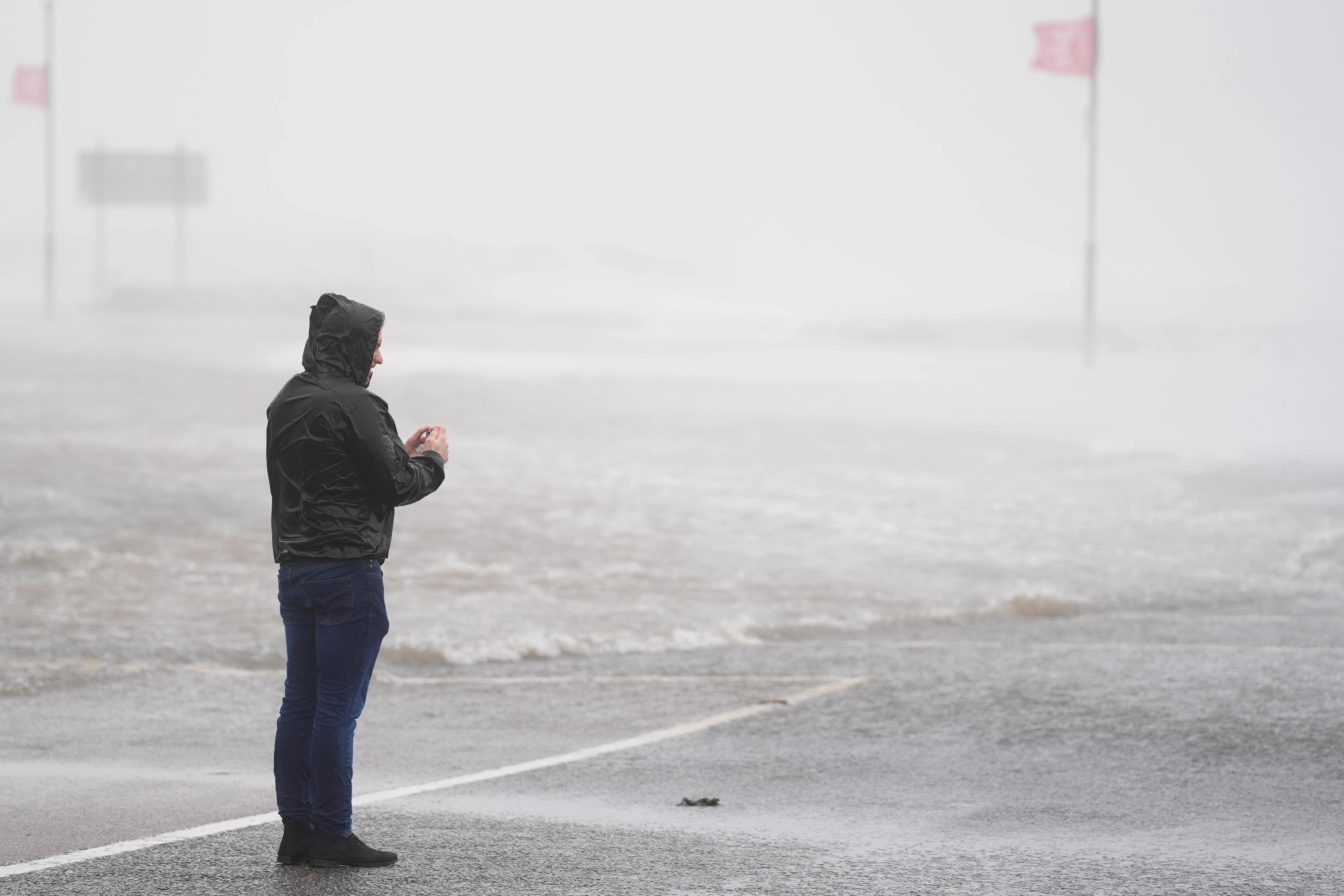
The Met Office has given its verdict on the possibility of the UK being hit with snow, after an icy blast hit parts of Europe this week.
The surprise cold weather saw residents in the western Balkans wake up to a blanket of snow, leaving many to hope that northern parts of Britain might see the same in the coming days.
However, winter lovers will be left disappointed as the Met Office has confirmed that there is “no significant snow in the immediate forecast”.
“The current outlook is for a largely settled period of weather, high pressure over the weekend,” Stephen Dixon, a spokesperson for the forecaster said.
“There are varying amounts of cloud and drizzle at times, more likely in the north-west, over the weekend. To start next week, there will also be some bits of drizzle around southeast and central England, a mixture of cloud and sunny spells.
open image in gallery
Wind and rain are more likely to make an appearance over the coming weeks (PA)
“We’re really in a settled period of weather, temperatures expected in the mid-teens.
“In terms of snowfall, there’s nothing in the immediate forecast for snowfall. As we move through later October, chances increase but that’s just with the climate we have.”
The Met Office’s long-range forecast for the rest of October predicts unsettled and grey weather, with rain, drizzle and wind expected to dominate.
“Thereafter, high pressure is expected to dominate for most if not all of the rest of the period, bringing plenty of dry, settled weather. Cloud amounts will be variable, and some overnight fog is likely, this slowly clearing through the morning. Thicker cloud and some rain may affect the far north at times though,” they said.
“Temperatures will be near average overall, but with some chilly nights possible, perhaps with isolated frost.”
Here’s a look at the five-day weather forecast across the UK:
Today:
Dry and bright with sunny spells across the south, after the clearance of any fog patches. Cloudier further north with some light and patchy rain affecting parts of Northern Ireland and Cumbria into the afternoon. Gusty winds across Scotland.
Tonight:
Cloud sinking south into central areas overnight, otherwise largely dry with clear spells. Thicker cloud with outbreaks of rain across western Scotland. Some fog patches developing across the southwest later.
Friday:
Largely settled on Friday, with variable amounts of cloud, but some sunny spells too, the best of any sunshine across the northeast. Thicker cloud and patchy rain across western Scotland.
Outlook for Saturday to Monday:
High pressure dominates into the weekend and Monday, bringing mostly dry conditions, light winds, sunny spells, and near-average temperatures, but with chilly nights and patchy fog. Near normal daytime temperatures.